


Área de título y declaración de responsabilidad
Título apropiado
Tipo general de material
- Graphic material
Título paralelo
Otra información de título
Título declaración de responsabilidad
Título notas
Nivel de descripción
Institución archivística
Código de referencia
Área de edición
Declaración de edición
Declaración de responsabilidad de edición
Área de detalles específicos de la clase de material
Mención de la escala (cartográfica)
Mención de proyección (cartográfica)
Mención de coordenadas (cartográfica)
Mención de la escala (arquitectónica)
Jurisdicción de emisión y denominación (filatélico)
Área de fechas de creación
Fecha(s)
-
1945 - 1946 (Criação)
- Produtor
- John Hart Highway
Área de descripción física
Descripción física
73 photographs : b&w
Área de series editoriales
Título apropiado de las series del editor
Títulos paralelos de serie editorial
Otra información de título de las series editoriales
Declaración de responsabilidad relativa a las series editoriales
Numeración dentro de la serie editorial
Nota en las series editoriales
Área de descripción del archivo
Nombre del productor
Historia administrativa
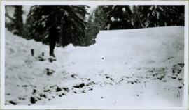
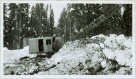
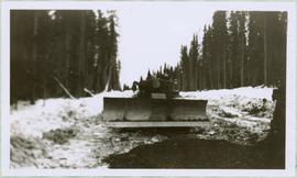
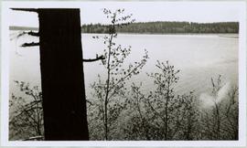
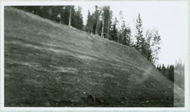
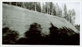
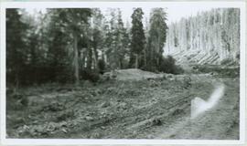
This 405 km long stretch of Highway 97, named for former British Columbia Premier John Hart, begins at Prince George, traveling for 152 km north through the small hamlet of Summit Lake, which is situated at the Continental Divide, as well as, through Crooked River Provincial Park, Bear Lake and McLeod Lake, to its intersection with Highway 39. It then journeys northeast another 150 km through the Continental Divide at which point the time zone changes from Pacific Time to Mountain Time. After emerging from the Pine Pass, the highway intersects with Highway 29 at the town of Chetwynd. After a trek of another 97 km east, the Hart Highway terminates at Dawson Creek, BC.
Alcance y contenido
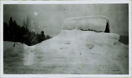
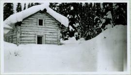
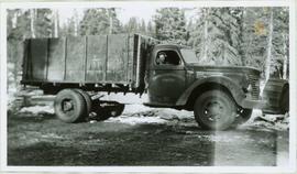
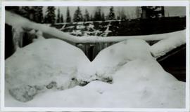
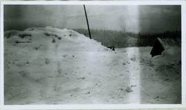
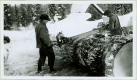
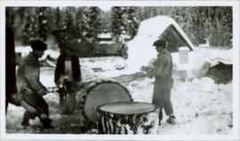
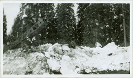
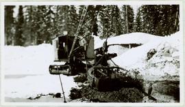
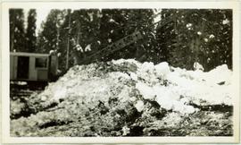
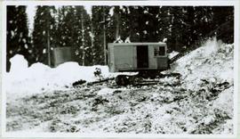
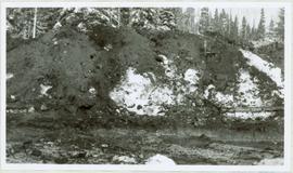
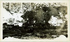
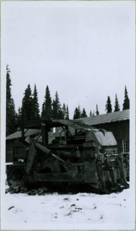
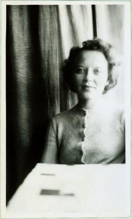
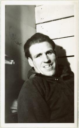
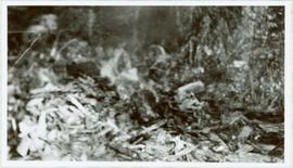
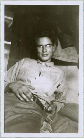
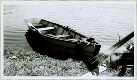
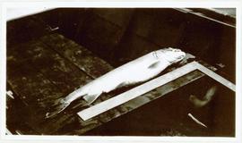
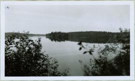
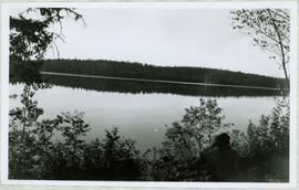
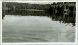
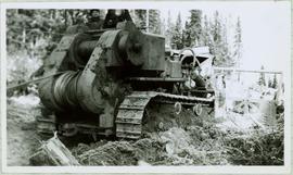
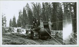
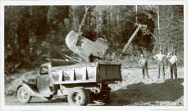
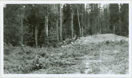
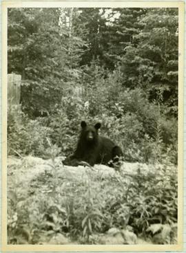
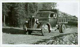
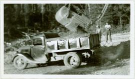
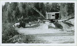
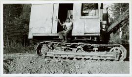
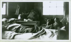
Collection consists of 73 photographs featuring the construction of the John Hart Highway in Prince George, BC from 1945-1946. Images depict construction, machinery, workers, bunkhouses, persons, wildlife, and buildings all associated with this construction project around the Summit Lake region of the city.
Área de notas
Arreglo
Idioma del material
- inglés
Escritura del material
Ubicación de los originales
Northern BC Archives & Special Collections
Disponibilidad de otros formatos
Tiffs & Jpegs
Restricciones de acceso
Condiciones de uso, reproducción, y publicación
Personal or academic use of photographic materials is welcomed under the standard fair use and educational use clauses of Canadian Copyright Law. Commercial use is, however, forbidden without the express permission of the copyright holder. For information on obtaining written permission from the copyright holder, please contact the Northern B.C. Archives and Special Collections.
Instrumentos de descripción
Item level descriptions are available.
Materiales asociados
Acumulaciones
Nota general
Many of the photographs in this collection have associated handwritten annotations.