2002.1.1.9
·
Subseries
·
1914-1985
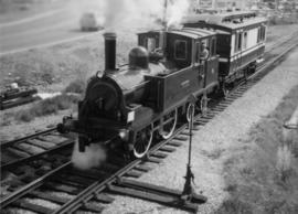
Part of Prince George Railway & Forestry Museum Collection
Subseries contains maps and technical drawings produced by Canadian National Railways. Predominantly consists of record plans of the B.C. Mountain Region. Also includes technical drawings of CN railway equipment.