Affichage de 4130 résultats
Archival description
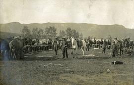
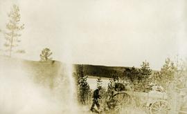
Pack Train in High Country
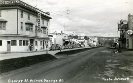
George Street, Prince George, BC
Penny
Penny
Communities along the East Line
Communities along the East Line
McBride and Dunster
McBride and Dunster
Tete Jaune
Tete Jaune
Mount Robson and the Red Pass
Mount Robson and the Red Pass
Jasper and the Yellowhead Pass
Jasper and the Yellowhead Pass
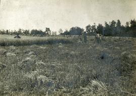
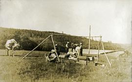
Thrashing grain at Fraser's Lake
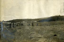
Crops at Fraser's Lake
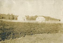
Hudson Bay buildings at Fraser's Lake
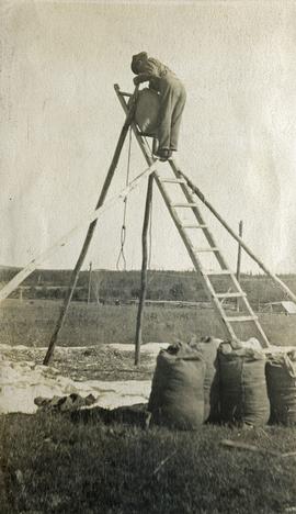
Cleaning grain at Fraser's Lake
Crops at Fraser's Lake
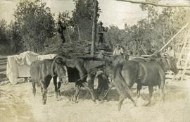
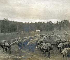
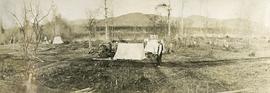
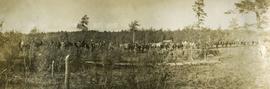
Pack train at Hudson Bay Company, Fraser's Lake
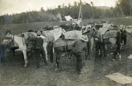
Packing horses
Ready to saddle
Unloading at Hudson Bay Company
Trip to Fraser Lake
Trip to Fraser Lake
Trip to Fraser Lake
Trip to Fraser Lake
Camp at Fraser's Lake
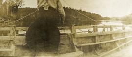
Ferry man's house
Ferry at Fraser Lake
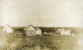
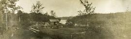
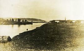
Hudson Bay Company Buildings at Fort Fraser
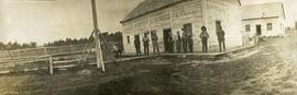
Hudson Bay Company store at Fort Fraser, BC
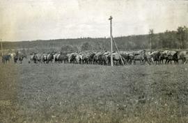
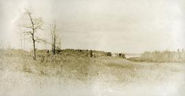
Charleston pack train near Fraser's Lake
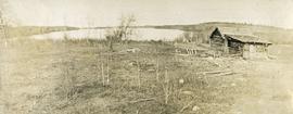
Cabin shed and garden near Fraser's Lake
Fraser's Lake Ferry
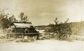
Fraser Lake ferry house from a distance
Nadleh Whut'en Village at Fort Fraser
Fort Fraser Historical Photograph Collection
Fort Fraser Historical Photograph Collection
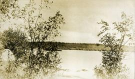
Cottonwood Island
Cottonwood Island
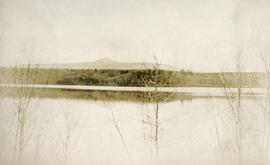
Island Cache
Island Cache

Williams Lake - St. Joseph's Mission (St. Joseph's Residential School)

Oscar Peak

Oscar Peak
Maps
Maps
Topographical Sketch Map of Omineca and Finlay River Basins, British Columbia
Topographical Sketch Map of Omineca and Finlay River Basins, British Columbia
Maps
Maps
Yukon Telegraph
Yukon Telegraph

Hart Highway Existing Land Use
Highway 16 West: Gateway to Alaska
Highway 16 West: Gateway to Alaska
Preemptor's map Sheet No. 3 Valleys of Fraser, Salmon & Willow Rivers in Fort George and Peace River Land Recording Districts
Preemptor's map Sheet No. 3 Valleys of Fraser, Salmon & Willow Rivers in Fort George and Peace River Land Recording Districts
B.C. Ghost Town Map
B.C. Ghost Town Map
Centennial Map of Canadian History and Achievements, 1867 to 1967
Centennial Map of Canadian History and Achievements, 1867 to 1967
Colonial exploration maps
Colonial exploration maps
British Columbia Mountains
British Columbia Mountains
Stuart Lake, Fort St. James, and Fraser Lake area map
Stuart Lake, Fort St. James, and Fraser Lake area map
A look at Canada
A look at Canada