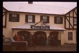
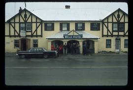
Image depicts a crowd of people outside the Wells Hotel in Wells, B.C.
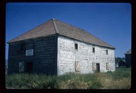
Image depicts the old Trading Outpost in Fort St. James, B.C.
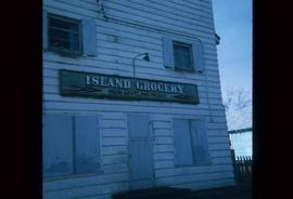
Image depicts a grocery store at Island Cache.
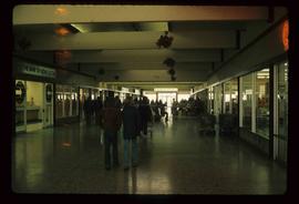
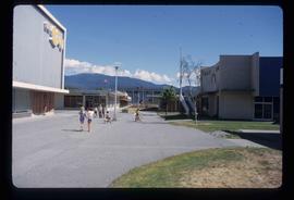
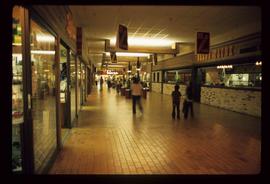
Image depicts numerous individuals inside a mall in Mackenzie, B.C.
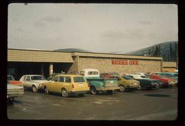
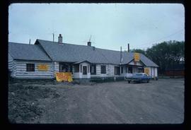
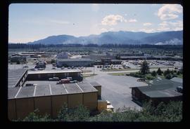
Image depicts numerous vehicles parked outside a building with a sign which reads "Mackenzie Centre;" it is possibly the mall in Mackenzie, B.C.
Image depicts a general store in Quick, B.C.
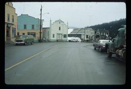
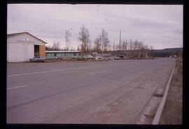
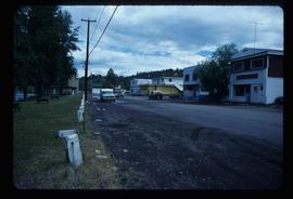
Image depicts a street in Wells, B.C.
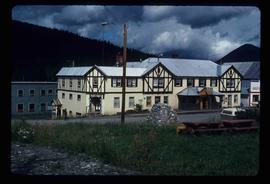
Image depicts the Wells Hotel in Wells, B.C.
Image depicts the Endako General Store in Endako, B.C.
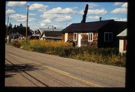
Image depicts a row of buildings in Upper Fraser, B.C. with the store (titled "Paradise") with a Pepsi sign. Map coordinates 54°07'09.1"N 121°56'47.0"W
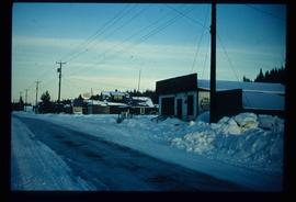
Image depicts a snowy street in Willow River, B.C. There are several buildings, one is an Esso station and another is labelled as "Red & White Food Store."
Image depicts the "Riske Creek General Store" in Riske Creek, B.C.
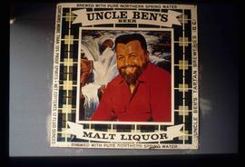
Image depicts an advertisement for an "Uncle Ben's Beer Malt Liquor" in the Willow River General Store. Map coordinates 54°04'23.7"N 122°28'26.9"W
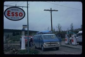
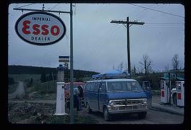
Image depicts the Esso gas station in Riske Creek, B.C.
Image depicts the Esso gas station in Riske Creek, B.C.
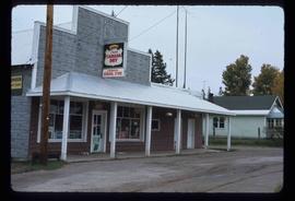
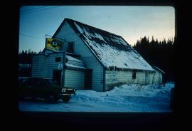
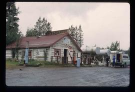
Image depicts the Upper Fraser General Store in Upper Fraser, B.C. Two other signs indicate that it is also a post office and a place that offers propane refills. Map coordinates 54°07'10.8"N 121°56'51.7"W
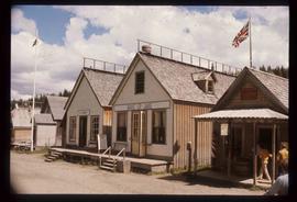
Image depicts the Wake Up Jake Saloon in Barkerville, as well as several other buildings.
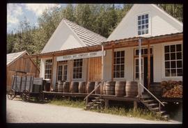
Image depicts the Hudson's Bay Company in Barkerville, B.C.
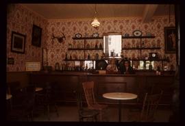
Image depicts the interior of the Wake Up Jake Saloon in Barkerville, B.C.
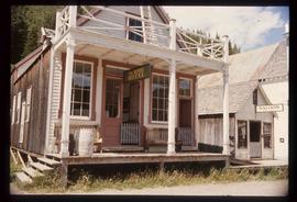
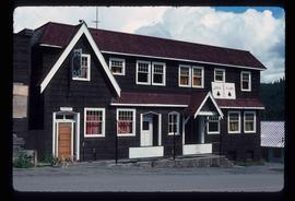
Image depicts the House Hotel in Barkerville, B.C.
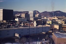
Image depicts downtown Prince George looking northwest across Dominion Street. Map coordinates 53°54'48.7"N 122°44'45.6"W
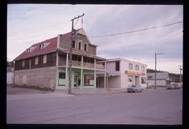
Image depicts an old, three-storey building beside a two-storey hotel in Hudson's Hope, B.C.
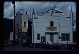
Image depicts the Sunset Theatre in Wells, B.C.
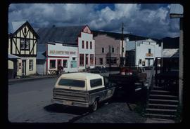
Image depicts a street in Wells, B.C. The Sunset Theatre and Gold Country Food Market are both present in the image.
Image depicts a street in Hudson's Hope, B.C.
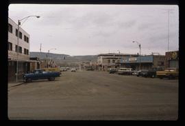
Image depicts a street of businesses in Dawson Creek, B.C.
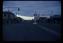
Image depicts a street of businesses and Mile "0" of the Alaskan Highway in Dawson Creek, B.C.
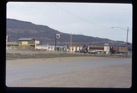
Image depicts a Chevron station as well as two motels in Chetwynd, B.C.
Image depicts a street with a building which is labelled "MacKeigan Enterprises Ltd." in Hudson's Hope, B.C.
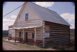
Image depicts an old convenience store, with a sign on it labelled "Al Crosina." It is located at the 153 Mile House.
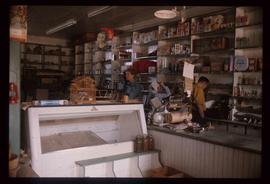
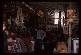
Image depicts the interior of an old convenience store; there are several unknown individuals present. It is located at the 153 Mile House.
Image depicts the Wells Hotel in Wells, B.C.
Image depicts the interior of an old convenience store; numerous unknown individuals are present. It is located at the 153 Mile House.
Image depicts the Jack O' Clubs Hotel in Wells, B.C. It burned down on February 14th, 1994
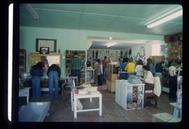
Image depicts the interior of a store, possibly in Fort St. John, B.C.
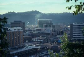
Image depicts the Central Business District of Prince George looking north from Connaught Hill. Map coordinates 53°54'41.4"N 122°44'58.5"W
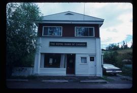
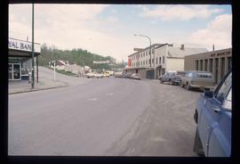
Image depicts the Royal Bank of Canada in Telkwa, B.C.
Image depicts numerous individuals passing in front of the Bay in Kitimat, B.C.
Image depicts numerous businesses, such as the Bay, Overwaitea, and Dairy Queen, somewhere in Kitimat, B.C.
Image depicts the gas station at Manson Creek, B.C.
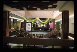
Image depicts the interior of a mall in Prince Rupert, B.C. It is possibly the Pride O' the North shopping mall.
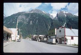
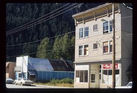
Image depicts the main street of Stewart, B.C.
Image depicts several buildings along the main street in Stewart, B.C.
Image depicts a street in Burns Lake, B.C.
Image depicts Mile "0" of the Alaskan Highway in Dawson Creek, B.C.
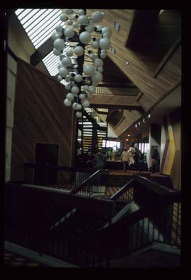
Image depicts the interior of a mall somewhere in Kitimat, B.C.
Image depicts several buildings in Kitimat, with the Bay being the tall one on the left.
Image depicts the interior of the Pride O' the North shopping mall in Prince Rupert, B.C.
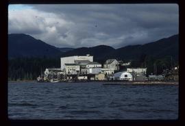
Image depicts the BC Packers Ltd. cannery in Prince Rupert, B.C.
Image depicts a street in Telkwa, B.C.
