Affichage de 26 résultats

Archival description
23 résultats avec objets numériques Afficher les résultats avec des objets numériques
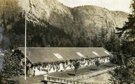
Seton Lake Fish Hatchery
2020.08.39 · Pièce · [between 1905 and 1909]
Fait partie de Pacific Great Eastern Railway Region Photograph Collection

Photograph depicts the Seton Lake hatchery building constructed by the British Columbia provincial government in 1903.

Additional photographs and information about this construction is provided in the Fisheries Commissioner's Report for that year:
"In October, 1902, bids were invited for the construction of a hatchery building and Superintendent's cottage on Lake Creek, the outlet of Seton Lake, near the village of Lillooet. There were six bidders. A contract was let to W. Duguid, of Lillooet, the lowest bidder, in November. The buildings were completed and accepted in March, 1903. The hatchery building is a substantial wooden structure 210 feet long by 40 feet wide. The roof is supported by the walls, thus giving a clear floor space for the 160 hatching troughs, which are each 16 feet long, 16 inches wide and 7 inches deep. Two troughs are placed end to end and extend the width of the building, and receive the water from the head flumes which run lengthwise of the building. The equipment permits of the handling of forty million eggs. The water supply is taken from Lake Creek at a point some 1,400 feet from the hatchery, and about the same distance from Seton Lake, by means of a wooden flume three feet wide and two feet deep. A comfortable cottage for the Superintendent and a boarding-house for the other employees were constructed and furnished. The station in all its equipment is modern, and is not excelled by any other on the coast..."

Hatchery operations were terminated in Seton Creek in 1915 because the salmon runs had been almost destroyed.
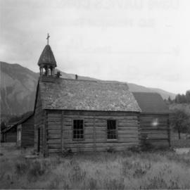
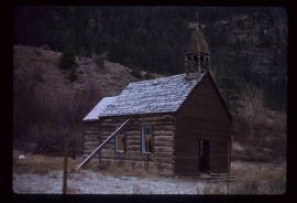
Church on Tsal'alh Nation territory
2013.6.36.1.074.08 · Pièce · [July 1966]
Fait partie de David Davies Railway Collection

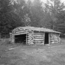
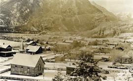
Photograph depicts a church that was built of shaped logs on the territory of the Tsal'alh Nation on the road leading to Seton Lake. Church was derelict, but still held pews, plastic flowers and small shrines.

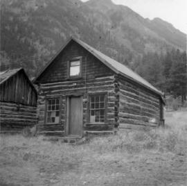
House in Moha "ghost" village
2013.6.36.1.072.06 · Pièce · [July 1969]
Fait partie de David Davies Railway Collection

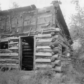
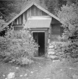
Photograph depicts the Moha "ghost" vilage, 20 miles west of Lillooet, at the fork of Bridge and Yalako Rivers. It used to be a gold mining village. About 8 houses/cabins were left standing, but none were occupied. Displayed is one that had 2 ft. thick walss to waist height, as shown.

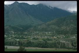
Lillooet Area
2012.13.1.053 · Sous-série organique · [between 1971 and 1982]
Fait partie de J. Kent Sedgwick fonds

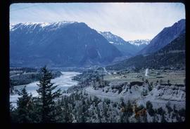
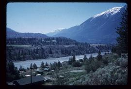
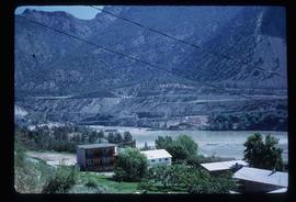
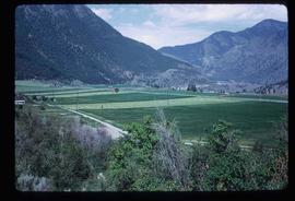
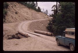
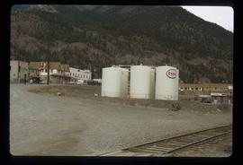
File contains slides depicting places in the Lillooet area.

Gathering
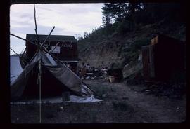
2012.13.1.53.11 · Pièce · June 1974
Fait partie de J. Kent Sedgwick fonds

Image depicts a gathering of people for an uncertain event at an uncertain location, possibly in Lillooet, B.C. A few tents are set up in the picture.

Lillooet - Howe Sound
2012.13.1.054 · Sous-série organique · [between 1977 and 1987]
Fait partie de J. Kent Sedgwick fonds

File contains slides depicting places around and between Lillooet and Howe Sound.

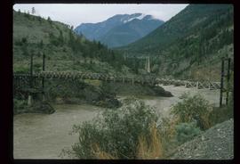
Lillooet - Bridges
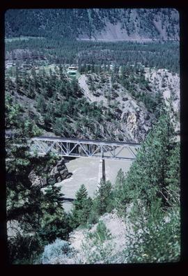
2012.13.1.53.44 · Pièce · July 1982
Fait partie de J. Kent Sedgwick fonds

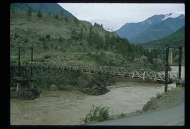
Image depicts two bridges over the Fraser River, located somewhere in Lillooet, B.C.

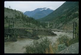
Lillooet - Bridges
2012.13.1.53.45 · Pièce · July 1982
Fait partie de J. Kent Sedgwick fonds

Image depicts two bridges over the Fraser River, located somewhere in Lillooet, B.C.

Lillooet - Bridges
2012.13.1.53.46 · Pièce · July 1982
Fait partie de J. Kent Sedgwick fonds

Image depicts two bridges over the Fraser River, located somewhere in Lillooet, B.C.

Kamloops - Lillooet
2012.13.1.066 · Sous-série organique · 1987
Fait partie de J. Kent Sedgwick fonds

File contains slides depicting places in and around the Kamloops and Lillooet regions.