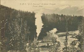
2006.20.9.18
·
Item
·
[ca. 1910]
Parte de Northern BC Archives Historical Photograph Collection
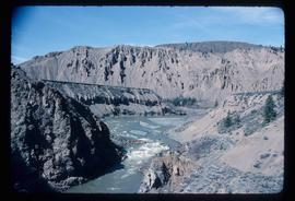
Postcard photograph depicts lofty view of sternwheeler in river, snow capped mountains in background.
Printed annotation on recto reads: “R.M.S. B.C. Express in Upper Canyon Fraser River.”