The item is a CD-R containing Kent Sedgewick's files regarding the Upper Fraser Valley history. Files include literature summaries, oral history transcripts and various other documents referring to the Upper Fraser Valley. Annotations on CD-R state, "Jun 7 '04 Kent - UF files to start."
The item is a photograph depicting a garbage pile at the Railway Museum area prior to being built. Attached note on picture states, "Present location of Railway Museum. Infamous garbage pile dumped in Cottonwood Island Park by CNR. Circa 1978."
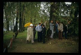
Image depicts a crowd of people in Cottonwood Park in Prince George, B.C.
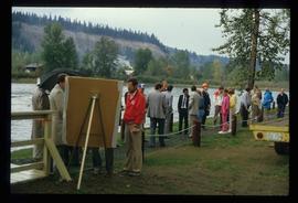
Image depicts a crowd of people on a section of the Heritage Trail on Cottonwood Island in Prince George, B.C.
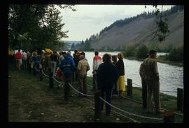
Image depicts a large crowd of people on a section of the Heritage Trail on Cottonwood Island in Prince George, B.C.
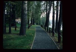
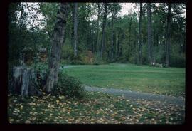
Image depicts a section of the Heritage Trail on Cottonwood Island in Prince George, B.C.
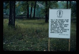
Image depicts a group of trees in the Cottonwood Park, with a sign which reads: "This is the primary plantation for the 'Forest for the World' project. These trees were planted on August 5, 1985, commemorating Prince George's 70th birthday by the citizens of Prince George & Expo 86'."
Image depicts a section of the Heritage Trail in Cottonwood Park.
Image depicts a the Cottonwood Island Nature Park sign and map in Prince George, B.C.
Image depicts a the Cottonwood Island Nature Park sign and map in Prince George, B.C.
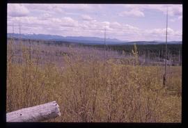
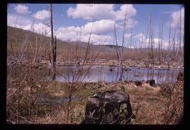
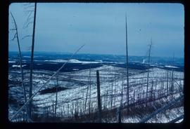
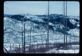
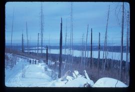
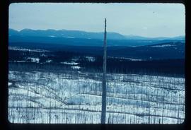
Image depicts a forest of dead trees on the slopes of Tabor Mountain in Prince George, B.C.
Image depicts a forest of dead trees on the slopes of Tabor Mountain in Prince George, B.C.
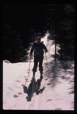
Image depicts an unidentified man cross country skiing somewhere on Tabor Mountain in Prince George, B.C.
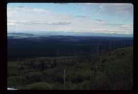
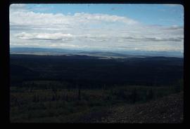
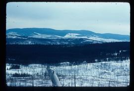
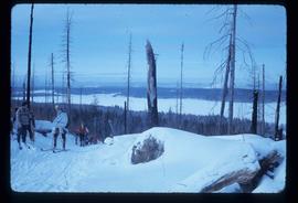
Image depicts a view of the landscape surrounding Tabor Mountain in Prince George, B.C.
Image depicts the area surrounding Tabor Mountain. Prince George is slightly visible on the left side of the image in the background.
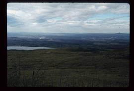
Image depicts a view of the landscape surrounding Tabor Mountain in Prince George, B.C.
Image depicts the area surrounding Tabor Mountain. Prince George is slightly visible in the background.
Image depicts a forest of dead trees on the slopes of Tabor Mountain in Prince George, B.C.
Image depicts a view of Tabor Mountain in Prince George, B.C.
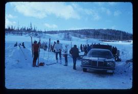
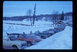
Image depicts a vehicle and a large group of skiers somewhere on Tabor Mountain in Prince George, B.C.
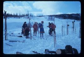
Image depicts numerous skiers and skis that are standing upright in in the snow on Tabor Mountain in Prince George, B.C.
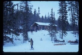
Image depicts numerous skiers at the cabin located at Troll Lake on Tabor Mountain in Prince George, B.C.
Image depicts a view of the area around Tabor Mountain in Prince George, B.C.
Image depicts a view of the area around Tabor Mountain in Prince George, B.C.
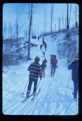
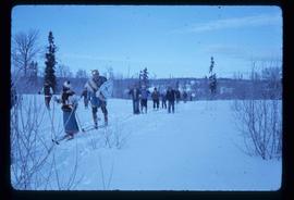
Image depicts numerous skiers on the Birchleg Ski route on Tabor Mountain in Prince George, B.C.
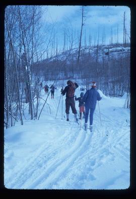
Image depicts numerous skiers cross-country skiing on a trail through trees on the Birchleg Ski route on Tabor Mountain in Prince George, B.C.
Image depicts numerous skiers cross-country skiing on a trail through trees on the Birchleg Ski route on Tabor Mountain in Prince George, B.C.
Image depicts numerous skiers on the Birchleg Ski route on Tabor Mountain in Prince George, B.C.
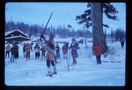
Image depicts a skier in a costume with a fake sword, somewhere on the Birchleg Ski route on Tabor Mountain in Prince George, B.C.
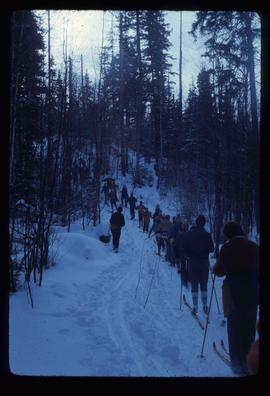
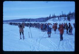
Image depicts a long line of people cross country skiing along the Birchleg route on Tabor Mountain in Prince George, B.C.
Image depicts a long line of people cross country skiing somewhere on Tabor Mountain in Prince George, B.C.
Image depicts the slopes of Tabor Mountain in Prince George, B.C.
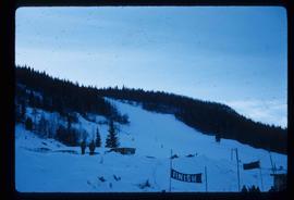
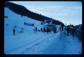
Image depicts numerous skiers standing near a finish line somewhere on Tabor Mountain in Prince George, B.C.
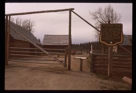
Image depicts the Cottonwood House Historic Site along Barkerville Highway, east of Quesnel, B.C. A sign posted by the fence reads: "For over half a century the Boyd family operated this haven for man and beast. Here weary travellers found lodging, food, and drink. Here fresh horses were hitched to stage-coaches and miners bought supplies. This historic road-house, built in 1864, stood as an oasis of civilization on the frontier of a rich new land."
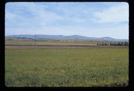
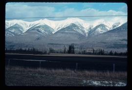
Image depicts Tabor Mountain in the distance, located in Prince George, B.C.
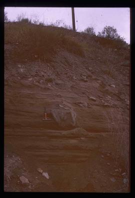
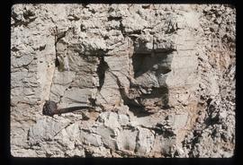
Image depicts a boulder protruding from layers of sediment with a hammer beside it for size reference. It is located somewhere in Soda Creek, B.C.
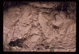
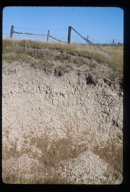
Image depicts layers of silt along the Chilako River near Blackwater Road, Prince George, B.C.
Image depicts grooves on Tabor Mountain in Prince George, B.C.
Image depicts grooving on Tabor Mountain in Prince George, B.C.
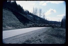
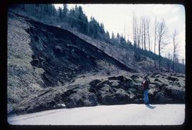
Image depicts an earth flow north of Stone Creek, B.C.
Image depicts an earth flow north of Stone Creek, B.C.
Image depicts truncated spurs somewhere near McBride, B.C.
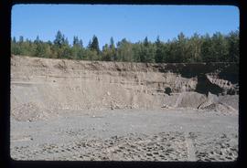
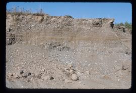
Image depicts layers of gravel at the BCR site in Prince George, B.C.
Image depicts layers of gravel at the BCR site in Prince George, B.C.
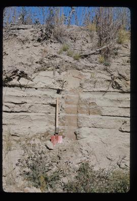
Image depicts sand beds with a shovel present for size reference. The slide places it at the "BCR site," possibly in Prince George, B.C.
Image depicts an example of varves, an annual layer of sediment or rock, with a pipe used for reference size. It is possibly located at the airport in Prince George, B.C.
Image depicts an example of varves, an annual layer of sediment or rock, possibly located at the airport in Prince George, B.C.
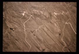
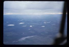
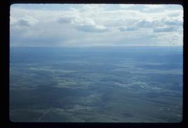
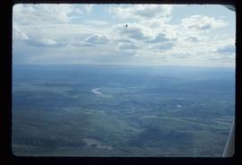
Image depicts an aerial view of a grooved region of land at an uncertain location.
Image depicts an aerial view of a grooved region of land at an uncertain location.
Image depicts an aerial view of a grooved region of land at an uncertain location.
