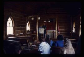
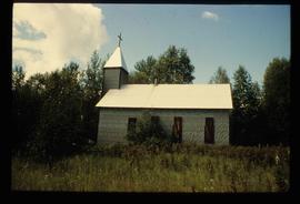
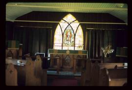
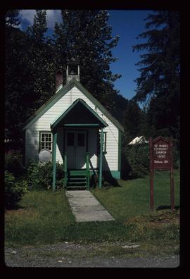
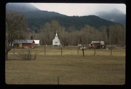
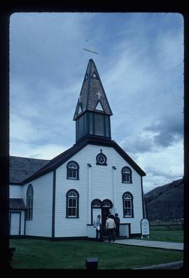
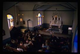
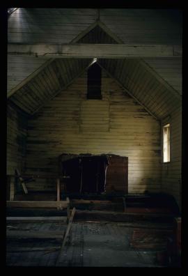
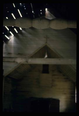
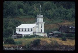
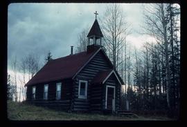
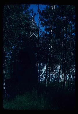
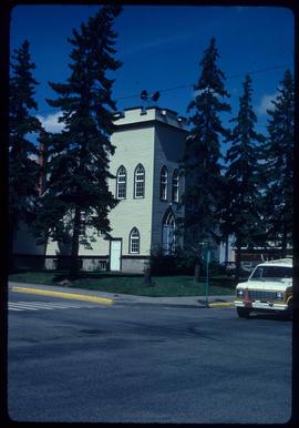
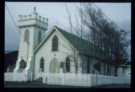
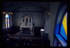
Image depicts an Anglican Church at the Atlin Museum.
Image depicts several unidentified individuals exiting a church made of logs, possibly in Fort St. John, B.C.
Image depicts several unidentified individuals inside of a church made from logs, possibly located in Fort St. John, B.C.
Image depicts the Oblates of Mary Immaculate Catholic Church in Aleza Lake, B.C. Map coordinates 54°07'08.2"N 122°02'00.0"W
Image depicts a Catholic church in Giscome, B.C. Map coordinates 54°04'15.5"N 122°21'52.1"W
Image depicts the Catholic Church in Penny, B.C.
Image depicts the Oblates of Mary Immaculate Catholic Church in Aleza Lake, B.C. Map coordinates 54°07'08.2"N 122°02'00.0"W
Image depicts a church at an uncertain location.
Image depicts a church in Giscome, B.C. Map coordinates 54°04'16.2"N 122°21'54.3"W
Image depicts an open field and numerous buildings, including a church in Giscome, B.C. Map coordinates 54°04'03.2"N 122°22'04.6"W
Image depicts a Catholic Church in Dome Creek, B.C.
Image depicts a church school in the community of Crescent Spur, B.C.
Image depicts the All Saints Anglican Church in McBride, B.C. The slide labels it as having "moved to PG."
Image depicts a church somewhere in McBride, B.C. The sign in front possibly reads "St. Patrick's Church."
Image depicts a Catholic Church in Stewart, B.C.
Image depicts the interior of the St. Marks Community Church in Stewart, B.C.
Image depicts the St. Marks Community Church in Stewart, B.C.
Image depicts a church and several houses in Seton Portage, B.C.
Image depicts a church on a hill somewhere in Seton Portage, B.C.
Image depicts an old, abandoned church located somewhere in Seton Portage, B.C.
Image depicts St. Peter's Church in Mackenzie, B.C.
Image depicts the altar inside the St. Joseph's Roman Catholic Church in Kamloops, B.C.
Image depicts the St. Joseph's Roman Catholic Church, in Kamloops, B.C.
Image depicts a representation of the crucified Christ in the St. Joseph's Roman Catholic Church in Kamloops, B.C.
Image depicts a large crowd of people seated inside the St. Joseph's Roman Catholic Church in Kamloops, B.C.
Image depicts an old and abandoned, collapsing church at an uncertain location.
Image depicts the interior of an old, abandoned church at an uncertain location; possibly somewhere between Lillooet and Kamloops.
Image depicts an Anglican church in Old Aiyansh.
Image depicts a Catholic church at an unknown location.
Image depicts an old Catholic church in Salmon Valley.
Image depicts a church in Woodpecker, B.C.
Image depicts a stained glass window from the interior of an Anglican Church in Woodpecker, B.C.
Image depicts a Knox United Church at an uncertain location, though possibly in either Hixon or Woodpecker, B.C.
Image depicts a church in Woodpecker, B.C.
Image depicts a church in Fort St. James, B.C.