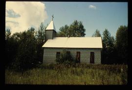
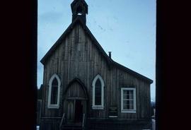
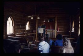
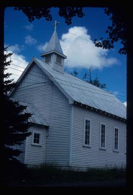
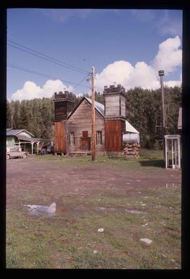
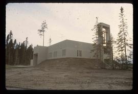
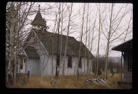
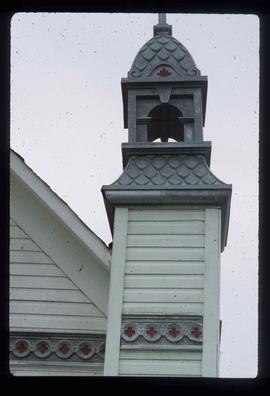
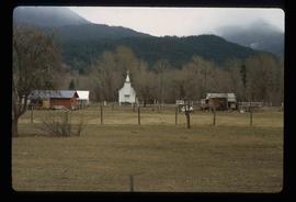
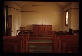
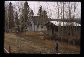
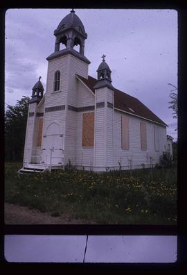
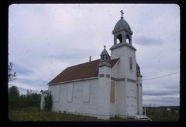
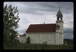
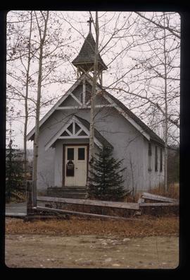
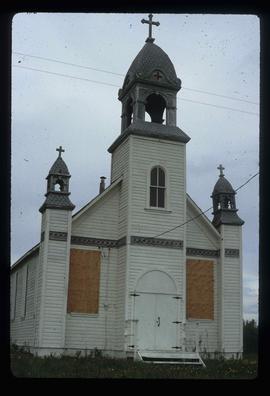
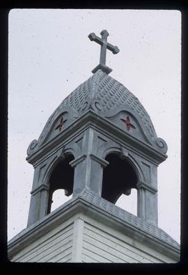
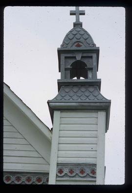
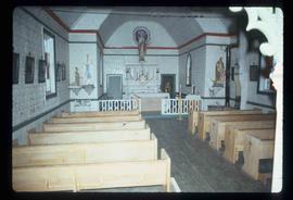
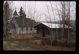
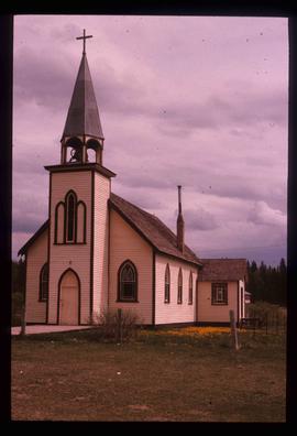
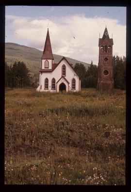
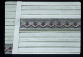
Image depicts a church located near Mapes, B.C.
Image depicts a church at an uncertain location.
Image depicts an old Anglican Church in Barkerville, B.C.
Image depicts the interior of a church, possibly one in or near Barkerville, B.C.
Image depicts a church school in the community of Crescent Spur, B.C.
Image depicts an open field and numerous buildings, including a church in Giscome, B.C. Map coordinates 54°04'03.2"N 122°22'04.6"W
Image depicts the Oblates of Mary Immaculate Catholic Church in Aleza Lake, B.C. Map coordinates 54°07'08.2"N 122°02'00.0"W
Image depicts a church in Giscome, B.C. Map coordinates 54°04'16.2"N 122°21'54.3"W
Image depicts several unidentified individuals inside of a church made from logs, possibly located in Fort St. John, B.C.
Image depicts a church in Wells, B.C.
Image depicts a row of houses, as well as a United Church of Canada on the right side of the image, located in Wells, B.C.
Image depicts an Anglican church in Kitwancool Lake, B.C.
Image depicts a Catholic Church on Stoney Creek Road in Vanderhoof, B.C.
Image depicts a church on a hill in Hagwilget, B.C.
Image depicts a church on a hill in Moricetown, B.C.
Image depicts an Anglican church and a bell tower in Kitwanga.
File contains slides depicting St. Marie, Ontario.
Image depicts several unidentified individuals exiting a church made of logs, possibly in Fort St. John, B.C.
Image depicts St. Peter's Church in Mackenzie, B.C.
Image depicts a Catholic Church in Dome Creek, B.C.
Image depicts St. Peter's Church in Mackenzie, B.C.
Image depicts the St. Marks Community Church in Stewart, B.C.
Image depicts a Catholic Church in Stewart, B.C.
Image depicts a church, somewhere between Hazelton and Hagwilget, B.C.
Image depicts the interior of the St. Marks Community Church in Stewart, B.C.
Image depicts a church and several other buildings in Canoe Creek.
Image depicts a church and a row of houses in Bralorne, B.C.
Image depicts the Catholic Church in Penny, B.C.
Image depicts St. Mark's Anglican Church in Woodpecker, B.C.
Image depicts a small section of the boarded up church in Shelley, B.C.
Image depicts a boarded up church in Shelley, B.C.
Image depicts an old, abandoned church located somewhere in Seton Portage, B.C.
Image depicts a church and several houses in Seton Portage, B.C.
Image depicts the interior of a church, most likely St. Mark's Anglican Church in Woodpecker, B.C.
Image depicts the St. Mark's Anglican Church and a small house in Woodpecker, B.C. There is an unknown individual present.
Image depicts a boarded up church in Shelley, B.C.
Image depicts a church on a hill somewhere in Seton Portage, B.C.
Image depicts a church in Fort St. James, B.C.
Image depicts St. Mark's Anglican Church in Woodpecker, B.C.
Image depicts a boarded up church in Shelley, B.C.
Image depicts a section of the boarded up church at Shelley, prior to its restoration.
Image depicts a small section of the boarded up church in Shelley, B.C.
Image depicts the interior of a church, likely in Fort St. James, B.C.
Image depicts the St. Mark's Anglican Church and a small house in Woodpecker, B.C.
File contains slides depicting a church in Shelley B.C.
Image depicts a close-up of the designs on the outside of the boarded up church in Shelley, B.C.