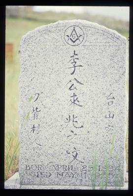
Image depicts a tombstone, with the name and inscription written in what appears to be Chinese. It is most likely located somewhere in or near Kamloops, B.C.
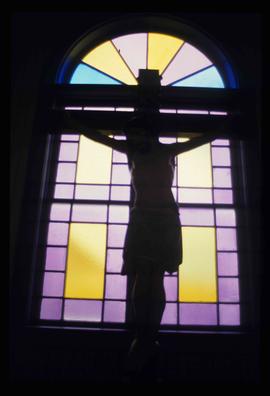
Image depicts a representation of the crucified Christ in the St. Joseph's Roman Catholic Church in Kamloops, B.C.
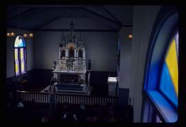
Image depicts the altar inside the St. Joseph's Roman Catholic Church in Kamloops, B.C.
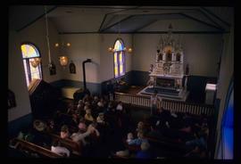
Image depicts a large crowd of people seated inside the St. Joseph's Roman Catholic Church in Kamloops, B.C.
Image depicts the St. Joseph's Roman Catholic Church, in Kamloops, B.C.
Photograph depicts a school room or church on the road between Louis Creek and Adams Lake.
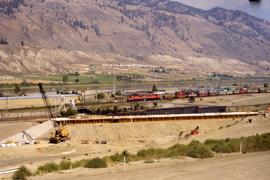
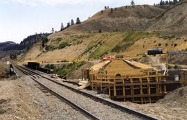
Photograph depicts a replacement rail bridge. Forms sat on a temporary pile of dirt, which in turns sat on a road bed of a new highway that had just been cut.
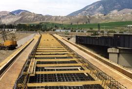
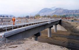
Photograph depicts a new concrete bridge being constructed. The old one is one the right.
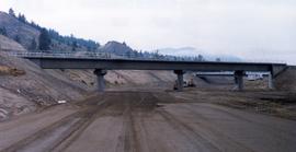
Photograph depicts a new CN overpass in Campbell Creek. The new part of the Trans-Canada Highway beneath it had yet to be paved.
Photograph depicts a new CN overpass in Campbell Creek. The grade crossing at the newly created service/business road was built on the south side of a road/rail complex.
Photograph depicts a new CN overpass in Campbell Creek. Looking at new eastbound lane of the Trans Canada Highway. It was all paid for by the Provincial Department of Highways in order to convert the 2 lanes into 4 in order to improve visibility and stretch the highway.
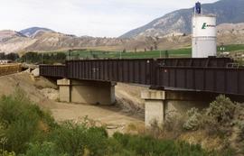
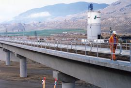
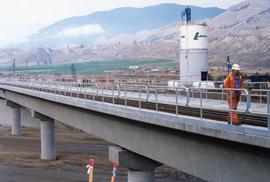
Photograph depicts a new bridge on the CNR Okanagan Branch. The old steel bridge on the right had been dismantled.
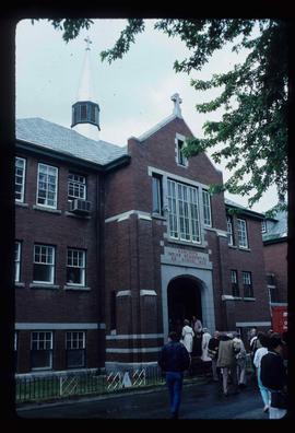
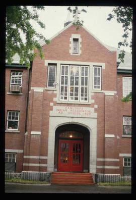
Image depicts the old Kamloops Residential School which operated until either 1977 or 1978 before becoming part of the Secwepemc Musem in 1982.
Image depicts the old Kamloops Residential School which operated until either 1977 or 1978 before becoming part of the Secwepemc Musem in 1982.
File contains slides depicting places in and around the Kamloops and Lillooet regions.
Photograph depicts an existing girder bridge, in use since 1962. A new concrete bridge was being built on the left.
Photograph depicts an old girder bridge.
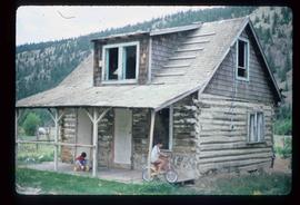
Image depicts two children in front of an old log building on the Deadman Creek reserve, located west of Kamloops, B.C.
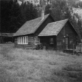
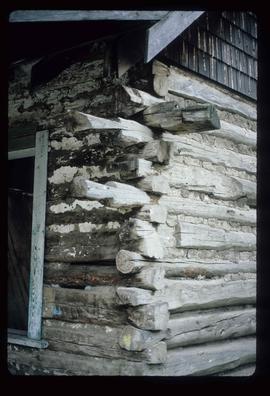
Image depicts the corner of an old log building in Deadman Creek, near Kamloops, B.C.
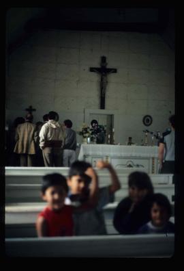
Image depicts several children and numerous adults inside a church in Deadman Creek, near Kamloops, B.C.
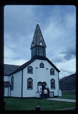
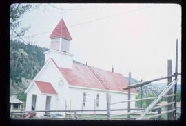
Image depicts a church in Deadman Creek, west of Kamloops, B.C.
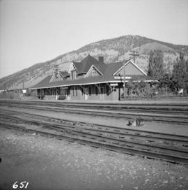
Photograph depicts the Canadian National Railway (CN) Kamloops Junction depot, facing east. The single line spur to Kamloops is about two miles long.
File consists of documentary photographs taken by David Davies of bridge replacements in Campbell Creek, Kamloops, British Columbia.
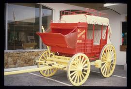
Image depicts a red carriage labelled in yellow "B.C. Express Co. No. 20." It is possibly located in Kamloops, B.C.
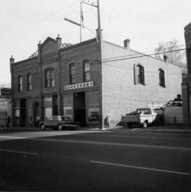
Photograph depicts one of the earlier brick buildings beside the river, sited opposite the sternwheeler landing pier. It is called Commercial Block and was built in 1897.
File contains slides depicting buildings and places in and around Ashcroft, Kamloops, and Hat Creek, B.C.
