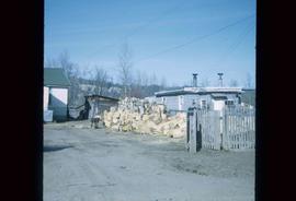
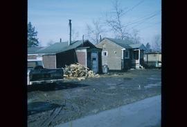
Image depicts a wood pile in Island Cache.
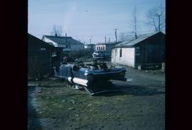
Image depicts a damaged, upturned car in Island Cache.
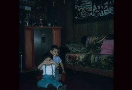
Image depicts two unknown children in a house somewhere in Island Cache.
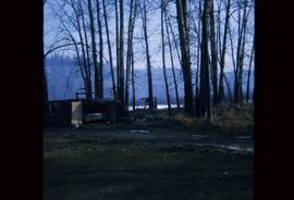
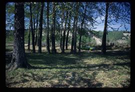
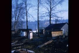
Image depicts a stand of trees and a shed at Island Cache.
Image depicts a green car among some trees on Cottonwood Island.
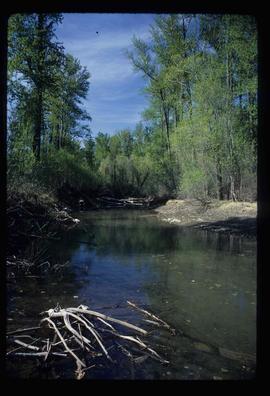
Image depicts a small stream somewhere on Cottonwood Island.
Image depicts a small stream somewhere on Cottonwood Island.
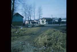
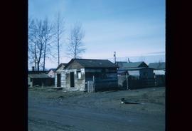
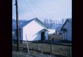
Image depicts a number of sheds in Island Cache.
Image depicts a number of sheds in Island Cache.
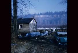
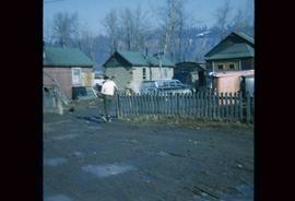
Image depicts several old, ruined cars and an unknown individual in Island Cache.
File consists of recreational guides from various places in British Columbia, especially Northern British Columbia. Guides include:
- The North Ridge Ecr-Trail Guide: Aleza Lake Research Forest
- Cluculz Lake Silviculture Demonstration Area: Trail Guide
- Willow River Interpretive Trail
- Crooked River Forest Self-Guided Circle Tour
- Forests for the World Interpretive Trail Guide
- Cottonwood Island Nature Park: Habitat Enhancement.
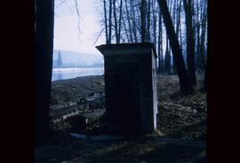
Image depicts what is likely an outhouse at Island Cache.
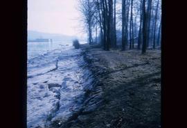
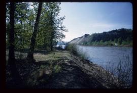
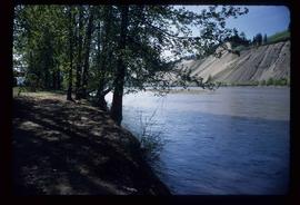
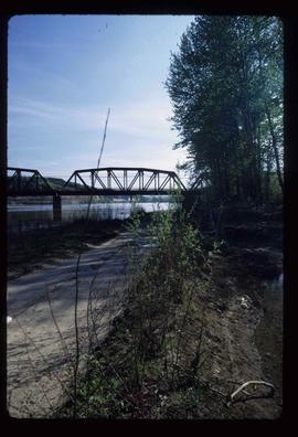
Image depicts the bank of the Nechako River at Island Cache.
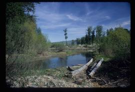
Image depicts the Nechako River from Cottonwood Island.
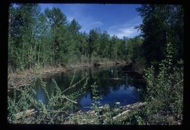
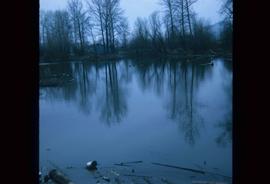
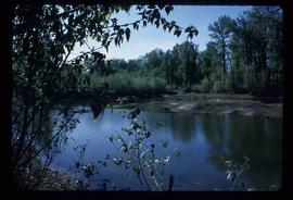
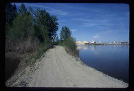
Image depicts a body of water in Island Cache. It is possibly a small section of the Nechako River.
Image depicts the Nechako River on Cottonwood Island.
Image depicts what is possibly a small section of the Nechako River on Cottonwood Island.
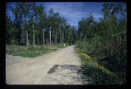
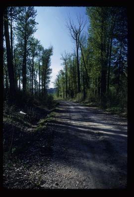
Image depicts a nature trail on Cottonwood Island.
Image depicts a nature trail on Cottonwood Island.
Image depicts a nature trail on Cottonwood Island.
Image depicts a nature trail on Cottonwood Island.
Image depicts a nature trail on Cottonwood Island.
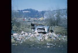
Image depicts a junk pile of bottles, cans and bags, as well as the gutted frame of an old car, at Island Cache.
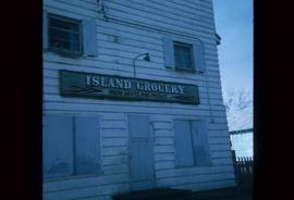
Image depicts a grocery store at Island Cache.
File contains slides depicting Island Cache on Cottonwood Island in Prince George, B.C. These photographs were taken in April 1970 by students involved in a Geography class at the College of New Caledonia. They record the community of Island Cache before the major flood in the spring of 1972.
These slides were utilised by CNC Geography Class taught by Alistair McVey before the 1972 flood and by Kent Sedgwick after the 1972 flood. Kent Sedgwick retained the original slides, except for two aerial views of the flooded area in the spring of 1972, which were from the in the City Planning Division files.
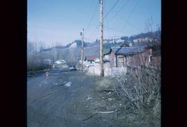
Image depicts numerous houses, and an unknown child standing in a street at Island Cache.
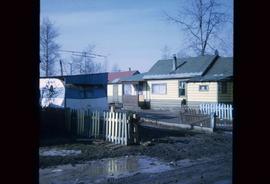
Image depicts a number of small houses at Island Cache.
Image depicts a few houses and a dog on a porch at Island Cache.
Image depicts a number of small houses at Island Cache.
Image depicts a few houses in Island Cache.
Image depicts a few houses in Island Cache. There are two unknown individuals present.
File contains slides depicting the opening of the Cottonwood Park section of the Heritage River Trails in Prince George, B.C.
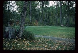
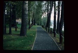
Image depicts a section of the Heritage Trail in Cottonwood Park.
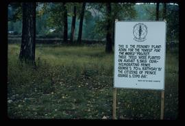
Image depicts a group of trees in the Cottonwood Park, with a sign which reads: "This is the primary plantation for the 'Forest for the World' project. These trees were planted on August 5, 1985, commemorating Prince George's 70th birthday by the citizens of Prince George & Expo 86'."
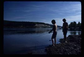
Image depicts two youths fishing from the bank of the Nechako River on Cottonwood Island.
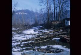
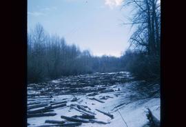
Image depicts some fallen trees at Island Cache.
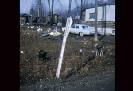
Image depicts two dogs and numerous chickens in a yard at Island Cache.
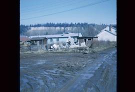
Image depicts the rubble of a demolished house at Island Cache, with several other buildings in the background.
Image depicts an area of cut trees at Island Cache.
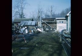
Image depicts a backyard filled with various items piled against a shed in Island Cache.
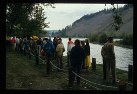
Image depicts a large crowd of people on a section of the Heritage Trail on Cottonwood Island in Prince George, B.C.
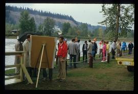
Image depicts a crowd of people on a section of the Heritage Trail on Cottonwood Island in Prince George, B.C.
Image depicts a the Cottonwood Island Nature Park sign and map in Prince George, B.C.
Image depicts a the Cottonwood Island Nature Park sign and map in Prince George, B.C.
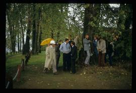
Image depicts a crowd of people in Cottonwood Park in Prince George, B.C.
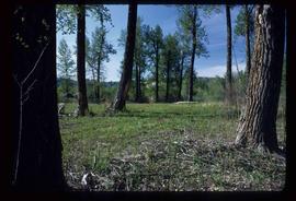
Image depicts Cottonwood Island.
Image depicts Cottonwood Island.
File contains slides depicting Cottonwood Island in Prince George, B.C. These photographs were taken by Kent Sedgwick when he was an instructor in Geography at the College of New Caledonia. The images were taken in support of a proposal by the New Caledonia Institute of Environmental Studies to create a municipal park at Cottonwood Island.
Image depicts a section of the Heritage Trail on Cottonwood Island in Prince George, B.C.
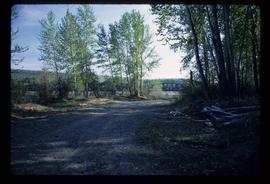
Image depicts a clearing at Island Cache.
