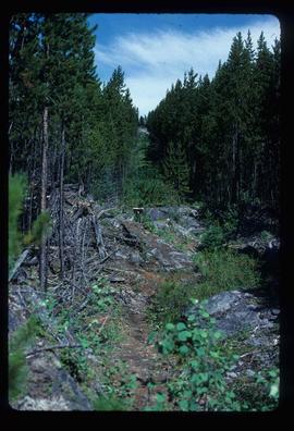
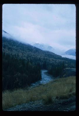
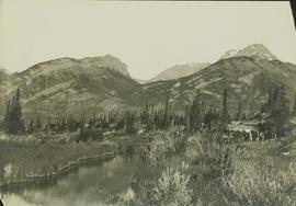
Image depicts the boundary line between British Columbia and Alberta at the Yellowhead Pass.
Image depicts a view of what is possibly the Yellowhead Pass on the British Columbia-Alberta border, west of Jasper A.B.
File contains slides depicting areas in and around the Rockies, Icefield Highway, and Jasper, Alberta.
Typed on verso of ticket: "CANADIAN NATIONAL RAILWAYS WESTERN REGION" "EMPLOYES TRIP PASS - FIRST CLASS" "SUBJECT TO CONDITIONS ON BACK" "PASS (1) Miss V. B. Taylor, ACCOUNT Stenographer -- C.N.R. TO Vancouver, B.C. FROM Prince Rupert, B.C. via Jasper, Alta." "DATE ISSUED} June 14th/27. EXPIRES END OF} July. 1927" "ADDRESS Prince Rupert. REQD BY V.B.T." "HONORED ON TRAIN NO. [6]". Verso has been signed by the conductor (illegible) and dated "Jun 18".
Typed on recto of ticket: "PASS ONE WAY ONLY TW IN ACCORDANCE WITH ACCOMPANYING PASS, BUT IN OPPOSITE DIRECTION" "VOID IF DETACHED" "143518". Stamped annotation on recto: "[ISSUED BY] W. H. TOBEY". Handwritten annotation on recto: "OFF SNOWSHOED NO 5 JULY 13 [WM?]". Ticket has been punched with four different shapes.
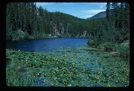
Image depicts numerous lily pads on the surface of Portal Lake, located near the Yellowhead Pass on the British Columbia-Alberta border, west of Jasper, A.B.
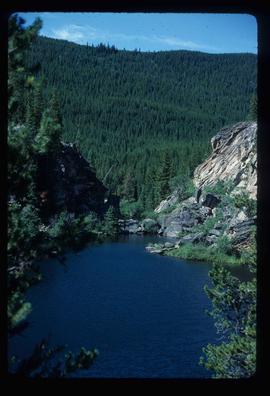
Image depicts Portal Lake, located near the Yellowhead Pass on the British Columbia-Alberta border, west of Jasper, A.B.
Part of a set of 41 original black & white photographs [1908-1933-?]) of the Grand Trunk Pacific Railway line in BC depicting surveying crews, town sites (Prince Rupert and its port, Hazelton and Fort George), and First Nations Peoples.
Photographs within this file document natural and artificial features across the landscape of Northern British Columbia. This landscape also includes the physical, built, urban and industrial landscapes; topography; site plans; boundaries, districts, reserves, parks, sanctuaries, towns, villages and cities, etc.
Technical drawing depicts a condensed profile of the CN Albreda subdivision.
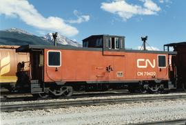
Photograph depicts a CN caboose in Jasper, AB.
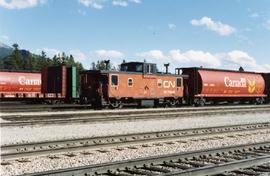
Photograph depicts a CN caboose in Jasper, AB.
