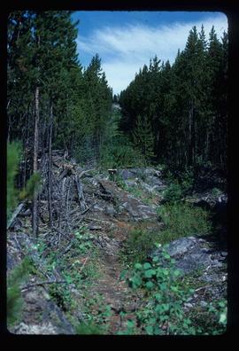
Image depicts the boundary line between British Columbia and Alberta at the Yellowhead Pass.
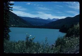
Image depicts Yellowhead Lake, located near the Yellowhead Pass.
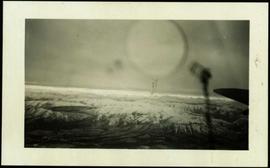
Handwritten photo album caption below this photo reads: "Above the Rockies at 12 000 feet." Photograph depicts the Rocky Mountains from a distance. As the photograph was taken from the inside of an airplane, the plane's wing tip can be seen on the far right of the image. A sun circle is also visible in the top center.
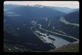
Royal Canadian Air ForceImage depicts a view of Pine Pass on the border between Alberta and British Columbia in the Rocky Mountains.
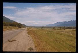
Image depicts a view of the Rocky Mountain Trench somewhere near McBride, B.C.
Image depicts a view of the Rocky Mountain Trench somewhere near McBride, B.C.
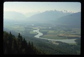
Image depicts a view of an area somewhere near McBride in the Rocky Mountain Trench.
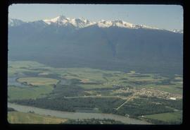
Image depicts a view of McBride in the Rocky Mountain Trench.
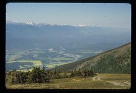
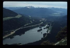
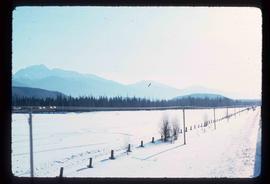
Image depicts a view of the Rocky Mountain Trench.
File contains slides depicting areas in and around the Rockies, Icefield Highway, and Jasper, Alberta.
Collection consists of 760+ images in 3 photo albums depicting Gray's travels throughout Northern BC and Alberta and 6 computer discs consisting of digital copies of these photographs.
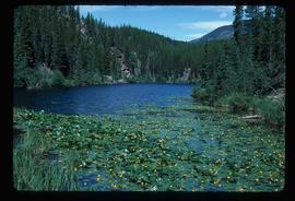
Image depicts numerous lily pads on the surface of Portal Lake, located near the Yellowhead Pass on the British Columbia-Alberta border, west of Jasper, A.B.
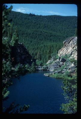
Image depicts Portal Lake, located near the Yellowhead Pass on the British Columbia-Alberta border, west of Jasper, A.B.
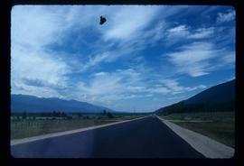
Image depicts a view of Pine Pass.
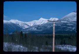
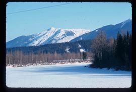
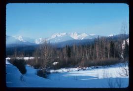
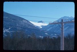
Image depicts a view of what is either the Rocky Mountains or possibly the Columbia Mountains near McBride, B.C.
Image depicts a view of what is either the Rocky Mountains or possibly the Columbia Mountains near McBride, B.C.
Image depicts a view of what is either the Rocky Mountains or possibly the Columbia Mountains near McBride, B.C.
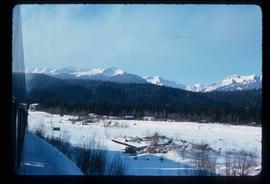
Image depicts a view of what is either the Rocky Mountains or possibly the Columbia Mountains near McBride, B.C.
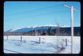
Image depicts a view of what is most likely the Rocky Mountains near McBride, B.C.
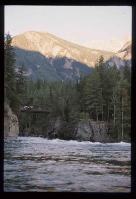
Image depicts a river somewhere in Mt. Robson Provincial Park, with a bridge running over it. The slide itself is labelled "Robson station."
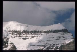
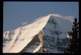
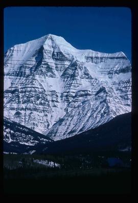
Image depicts the peak of Mt. Robson.
Image depicts the peak of Mt. Robson.
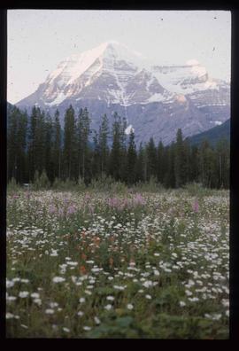
Image depicts Mt. Robson.
Image depicts Mt. Robson.
Image depicts a view of what is either the Rocky Mountains or possibly the Columbia Mountains from McBride, B.C.
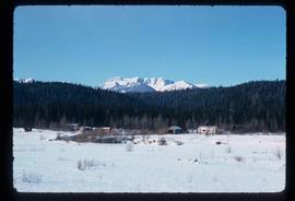
Image depicts a view of what is either the Rocky Mountains or possibly the Columbia Mountains in the background of a small section of McBride, B.C.
Image depicts several houses in McBride, B.C. A mountain is visible in the background.
Item consists of transcript of interview with writer, film maker, and guide outfitter Andy Russell conducted by Bob Harkins at Prince George Radio Station, CJCI regarding Russell's experiences with guiding in Northern Rockies. Russell also discusses his new work The Life of a River and discusses the environmental impact of hydro-electric development on rivers
Harkins, Bob