2008.2.016
·
Item
·
1 June 1929
Part of NBCA Maps and Plans Collection
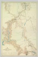
Topographic map depicting regions, communities, government posts. bodies of water, transport routes, surveyed areas, and reserves.
