This 16mm film of Eagle Lake Sawmills was produced by Torajiro Sasaki in July 1952, likely commissioned or with permission from the sawmill owners, the Spurs. The film depicts logging and sawmilling operations at the Eagle Lake Sawmill, as well as shots of the bunkhouses, exterior shots of the mill, and the beehive burner. Employees of the mill are shown at work. In 1952, Eagle Lake Sawmill used both machinery and horses in their operations.
Sans titreThis 16mm film of Eagle Lake Sawmills was produced by Torajiro Sasaki in July 1952, likely commissioned or with permission from the sawmill owners, the Spurs. The film depicts logging and sawmilling operations at the Eagle Lake Sawmill, as well as shots of the bunkhouses, exterior shots of the mill, and the beehive burner. Employees of the mill are shown at work. In 1952, Eagle Lake Sawmill used both machinery and horses in their operations.
Sans titreFile consists of a transcript of an oral history interview with Ray Williston.
File consists of a transcript of an oral history interview with John and Bernice Trick.
File consists of a transcript of an oral history interview with Carl Strom.
File consists of a transcript of an oral history interview with Ken Sasaki.
File consists of a transcript of an oral history interview with Horst Sander. Also includes photocopies of Horst Sander's personal records, such as a tree farm license.
File consists of a transcript of an oral history interview with Joe Rositano.
File consists of a transcript of an oral history interview with Joe Rositano.
File consists of a transcript of an oral history interview with Andre Laquerre.
File consists of a transcript of an oral history interview with Lea Gobbi and Kate Anderson.
File consists of a transcript of an oral history interview with Arturo Garcia-Alonso.
File consists of a transcript of an oral history interview with Heather (Scott) Empey.
File consists of a transcript of an oral history interview with Ruth Cunningham, Lillian Coulling, and Evelyn Rebman. Also includes photocopies of Ruth Cunningham's personal records, such as photographs and newspaper clippings.
File consists of a transcript of an oral history interview with Walter Carlson.
File consists of a transcript of an oral history interview with Buster Brown.
File consists of a transcript of an oral history interview with Kate Anderson and Mae Romanin.
File consists of a transcript of an oral history interview with Jeanne Anderson.
File consists of an audio recording of an interview with Ray Williston. Includes three original recorded audio cassettes and three copies.
File consists of an audio recording of an interview with John and Bernice Trick. Includes one original recorded audio cassette and one copy.
File consists of an audio recording of an interview with Carl Strom. Includes one original recorded audio cassette and one copy.
File consists of an audio recording of an interview with Ken Sasaki. Includes one original recorded audio cassette and three copies.
File consists of an audio recording of an interview with Horst Sander. Includes two original recorded audio cassettes and two copies.
File consists of an audio recording of an interview with Joe Rositano. Includes one original recorded audio cassette and one copy.
File consists of an audio recording of an interview with Joe Rositano. Includes one original recorded audio cassette and one copy.
File consists of an audio recording of an interview with Andre Laquerre. Includes one original recorded audio cassette.
File consists of an audio recording of an interview with Lea Gobbi and Kate Anderson. Includes two original recorded audio cassettes and two copies.
File consists of an audio recording of an interview with Arturo Garcia-Alonso. Includes two copies of the original recorded audio cassette; the original recording is not held by the archives.
File consists of an audio recording of an interview with Heather (Scott) Empey. Includes one original recorded audio cassette and one copy.
File consists of an audio recording of an interview with Ruth Cunningham, Lillian Coulling, and Evelyn Rebman. Includes two original recorded audio cassettes and two copies.
File consists of an audio recording of an interview with Walter Carlson. Includes one original recorded audio cassette and one copy.
File consists of an audio recording of an interview with Buster Brown. Includes two copies of the original recorded audio cassette; the original recording is not held by the archives
File consists of an audio recording of an interview with Kate Anderson and May Romanin. Includes one original recorded audio cassette and three copies.
File consists of an audio recording of an interview with Jeanne Anderson. Includes one copy of the original recorded audio cassette; the original recording is not held by the archives.
The Upper Fraser Historical Geography Project was conducted by UNBC faculty and a team of researchers between 1999 and 2002. The lead researchers were Aileen Espritiu, Gail Fondahl, Greg Halseth, Debra Straussfogel, and Tracy Summerville. The project resulted in the creation of 93 oral history records and their transcripts. Participants included regional forest industry executives, politicians (including former MLA Ray Williston, local mayors and Fraser Fort George Regional District representatives), forest industry workers, and former and contemporary Upper Fraser community residents. The oral histories document the rise, consolidation and demise of the forestry-based settlements along the Upper Fraser River between 1915 and 2000.
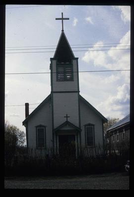
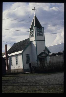
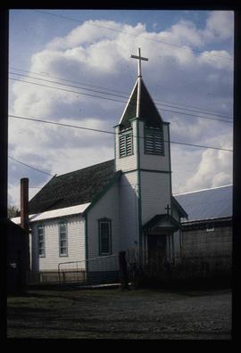
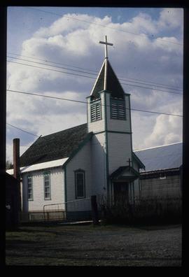
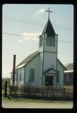
Image depicts a Catholic church in Giscome, B.C. Map coordinates 54°04'15.5"N 122°21'52.1"W
Image depicts a Catholic church in Giscome, B.C. Map coordinates 54°04'15.5"N 122°21'52.1"W
Image depicts a Catholic church in Giscome, B.C. Map coordinates 54°04'15.5"N 122°21'52.1"W
Image depicts a Catholic church in Giscome, B.C. Map coordinates 54°04'15.5"N 122°21'52.1"W
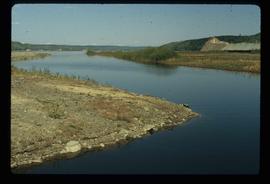
Image depicts the creek flowing into Eaglet Lake. A grey area of hill on the right side of the image appears to be the Giscome Quarry. Map coordinates 54°04'26.2"N 122°22'04.3"W
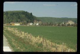
Image depicts Giscome with the school on the left, the remnants of the town site in the middle and the church on the right. Map coordinates 54°03'58.2"N 122°22'04.8"W
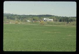
Image depicts the dairy farm in Giscome, B.C. Map coordinates 54°03'53.3"N 122°21'22.6"W
Image depicts a Catholic church in Giscome, B.C. Map coordinates 54°04'15.5"N 122°21'52.1"W
Image depicts the CN Station, with bundles of wood sitting near the tracks, in Giscome, B.C. Map coordinates 54°04'32.3"N 122°21'42.3"W
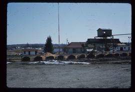
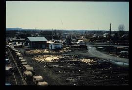
Image depicts the Giscome, B.C. mill site looking west. Map coordinates 54°04'18.5"N 122°21'57.7"W
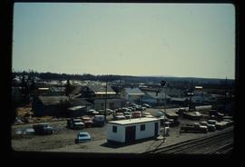
Image depicts the Giscome, B.C. town site with the Giscome railway station and the Giscome store in the center surrounded by vehicles. Map coordinates 54°04'18.5"N 122°21'57.7"W
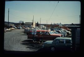
Image depicts a parking lot full of vehicles with the Giscome store in the background. Map coordinates 54°04'18.5"N 122°21'57.7"W
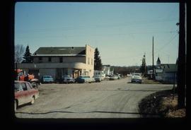
Image depicts a street in Giscome B.C. The Giscome Store is located on the left side of the image with the church in the background. Map coordinates 54°04'18.5"N 122°21'57.7"W
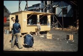
Image depicts a food stand at the mill site at Giscome, B.C. Map coordinates 54°04'19.7"N 122°22'04.7"W
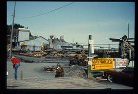
Image depicts the mill site at Giscome, B.C. A sign in the foreground reads "Maynard's Industrial Auctioneers." Map coordinates 54°04'19.7"N 122°22'04.7"W
