Showing 184 results
Archival description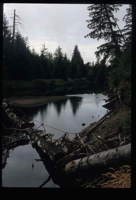
A River - Log Bridge?

Advanced Copy of a Map of the Queen Charlotte Islands
Approach to Haida Gwaii
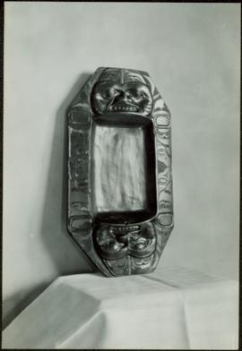
Argillite dish
Argillite dish
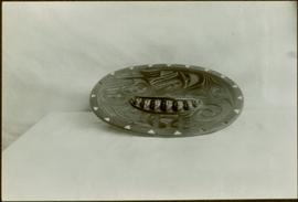
Argillite dish
Argillite dish
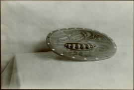
Argillite dish
Bark shredder and
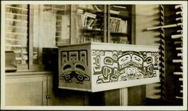
Bentwood box

Bentwood boxes and spoons
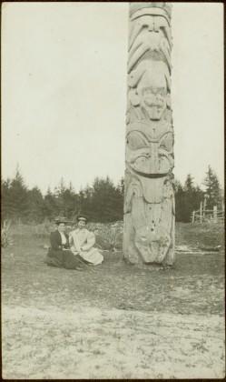
Bertha Collison and Josie Edenshaw at totem pole in Masset, Queen Charlotte Islands, BC
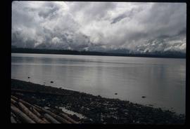
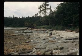
British Columbia coastal shoreline

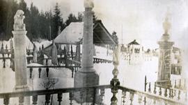
Buildings and Docks
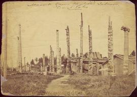
Burial ground at Masset
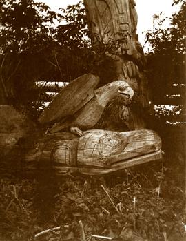
Carved eagle and whale monument in Tanu, Queen Charlotte Islands, BC
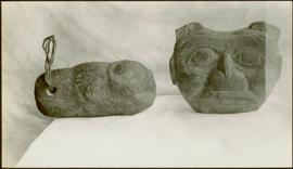
Carved stone figures
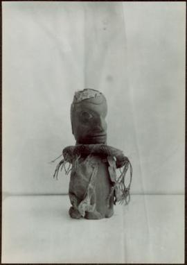
Carved wooden figure
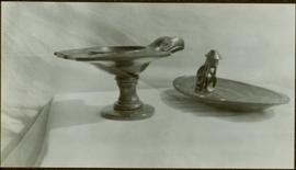
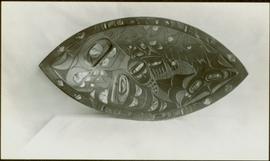
Carved wooden platter and unidentified tool

Cemetery
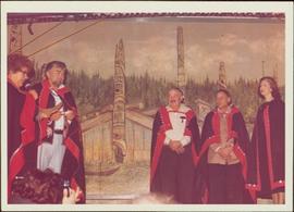
Chief Skidegate Dempsey Collinson, Minister Iona Campagnolo, and three unidentified individuals stand on a stage in button blankets; mural of longhouses and totem poles in background, Haida Gwaii, 1978
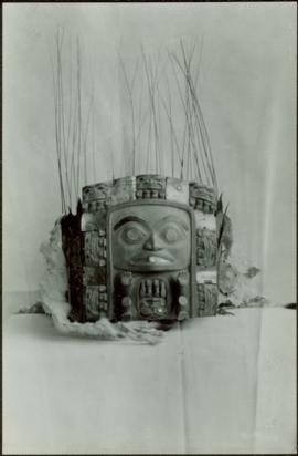
Chief’s headdress
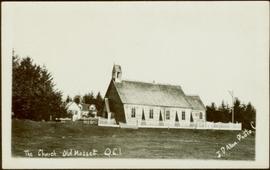
Church and mission house in Masset, Queen Charlotte Islands, BC
Close view of totem poles at Skidegate, Queen Charlotte Islands, BC
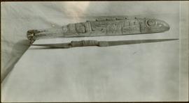
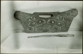
Club and knife

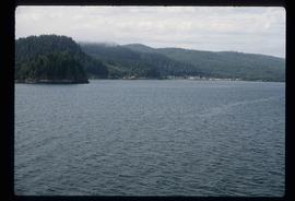
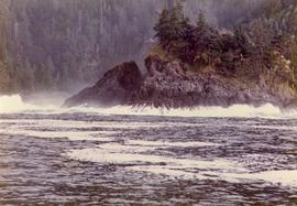
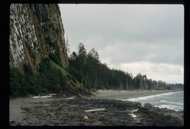
Coast of Haida Gwaii

Coast of Haida Gwaii

Coast of Haida Gwaii

Coast of Haida Gwaii

Coast of Haida Gwaii
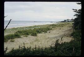
Coast of Haida Gwaii
Coast of Haida Gwaii
Coastal Forest
Coastal Forest
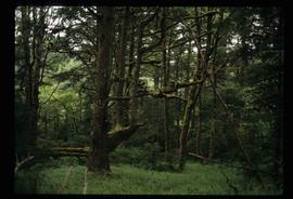
Coastal Forest - Trees

Coastal Forest - Trees

Coastal Forest - Trees

Coastal Forest - Trees
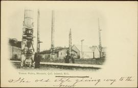
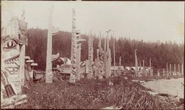
Crest poles at Masset, Queen Charlotte Islands, BC
Crest poles at Masset, Queen Charlotte Islands, BC
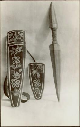
Dagger and pouch

Docked Ferry
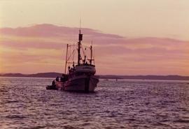
El Dorado fishing boat off the coast of British Columbia

Enclosed Building
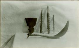
Feast ladle, harpoon heads and unidentified item

Fence and Power Lines
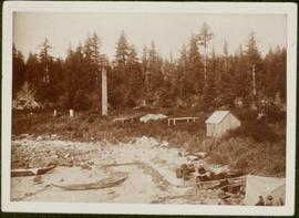
First Nations village at Haida Gwaii
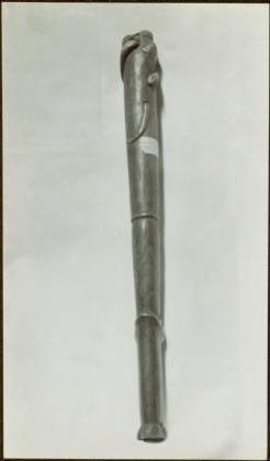
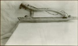
Flute

Forest

Forest