2009.6.1.9
·
Item
·
2 July 1977
Parte de The Honourable Iona Campagnolo fonds
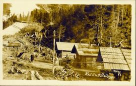
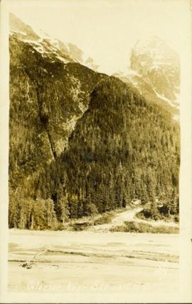
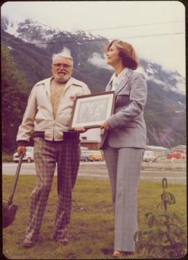
Photo taken in Stewart, B.C. Waidlow Stewart holds a shovel, with mountains in background.
Handwritten annotation on verso reads: “Waidlow Stewart in Stewart, 2 July 1971”.