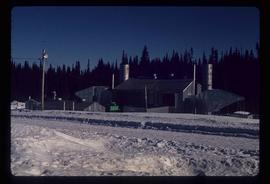
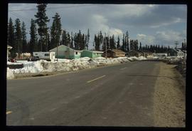
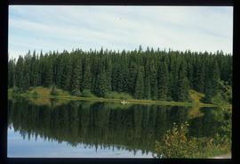
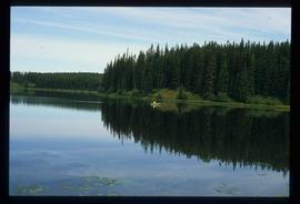
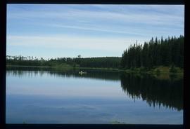
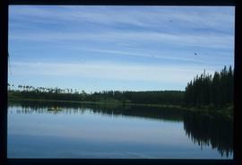
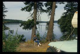
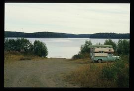
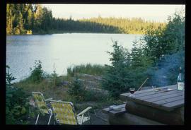
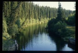
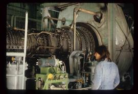
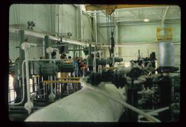
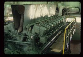
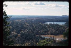
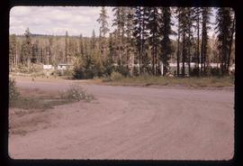
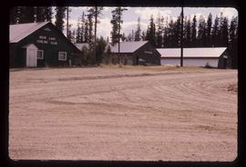
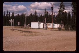
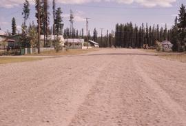
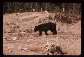
Showing 5139 results

Archival description
3026 results with digital objects Show results with digital objects
2012.13.1.5.01 · Stuk · Oct. 1975
Part of J. Kent Sedgwick fonds

Image depicts two mills; the Intercontinental Pulpmill is on the left side of the tracks in the image and the Prince George Pulp and Paper Mill is located on the right side in Prince George, B.C. The Northwood Pulp Mill can be seen in the distance.

Red Rock (?)
2012.13.1.4.33 · Stuk · [2000?]
Part of J. Kent Sedgwick fonds

Image depicts a road, forest, and hill rise in an uncertain location possibly near Red Rock, B.C.

Livingston Springs
2012.13.1.4.26 · Stuk · 16 Mar. 1988
Part of J. Kent Sedgwick fonds

Image depicts the Livingston Springs in the Crooked River Provincial Park, with an unknown individual present.

Livingston Springs
2012.13.1.4.25 · Stuk · 16 Mar. 1988
Part of J. Kent Sedgwick fonds

Image depicts numerous fallen trees and two unknown individuals somewhere in the Crooked River Provincial Park, near the Livingston Springs.

Industrial Machinery
2012.13.1.4.14 · Stuk · July 1980
Part of J. Kent Sedgwick fonds

Image depicts a piece of industrial machinery, likely for either mining or forestry, in an uncertain location near McLeod Lake, B.C.

Bear
2012.13.1.4.02 · Stuk · Aug. 1976
Part of J. Kent Sedgwick fonds

Image depicts a bear located at the Bear Lake Dump.

Hart Highway
2012.13.1.004 · Deelreeks · [between 1973 and 2000]
Part of J. Kent Sedgwick fonds

File contains slides depicting places along the Hart Highway.

Prince George
2012.13.1.3.169 · Stuk · Mar. 2003
Part of J. Kent Sedgwick fonds

Image depicts an aerial view of what is possibly an outlying area of Prince George, B.C.

2012.13.1.3.168 · Stuk · Mar. 2003
Part of J. Kent Sedgwick fonds

Image depicts an aerial view of a Prince George residential section between Highway 97, Carney Street and 10th Ave looking north. Map coordinates 53°54'54.0"N 122°46'00.4"W

2012.13.1.3.166 · Stuk · May 2001
Part of J. Kent Sedgwick fonds

Image depicts a view of Prince George from City Hall looking northeast along George Street. Includes a back view of the Prince George cenotaph. Map coordinates 53°54'46.3"N 122°44'41.9"W