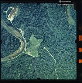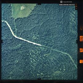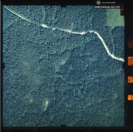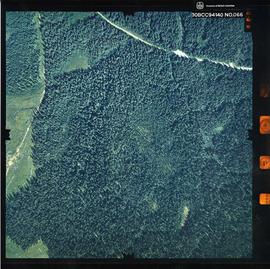
2007.1.07.1
·
Dossier
·
1990
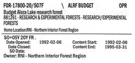
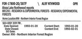
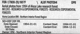
Fait partie de Aleza Lake Research Forest fonds
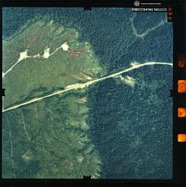
File contains an original informational brochure on ecological reserves in British Columbia and correspondence relating to the transfer of the Aleza Lake Research Forest to a university research forest.