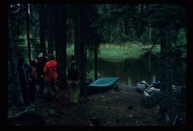
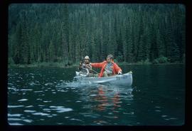
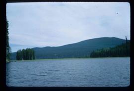
Image depicts the canoe group preparing to canoe on Beaver Pond, which is the start of Kibbee Lake.
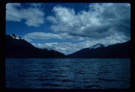
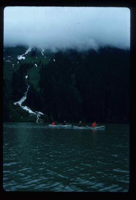
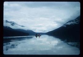
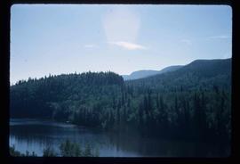
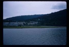
Image depicts Isaac Lake.
Image depicts a section of Isaac Lake which is apparently known as the "chute."
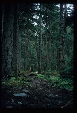
Image depicts the path taken during the portage to McCleary Lake.
Image depicts two individuals fishing in a canoe on McCleary Lake. The slide is also labelled "dolly," likely meaning the fish in the net is a Dolly Varden trout.
Image depicts four individuals canoeing on Lanezi Lake.
Image depicts two individuals canoeing on Lanezi Lake.
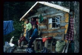
Image depicts the canoe group at the Turner Creek Cabin by Lanezi Lake.
Image depicts two unknown individuals pulling a canoe through Babcock Lake's three mile creek.
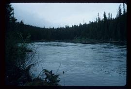
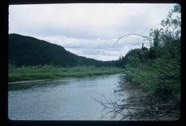
Image depicts the river channel leading to the Spectacle Lakes.
Image depicts a slough area while on approach to Bowron Lake.
Image depicts a slough area while on approach to Bowron Lake.
Image depicts a slough area while on approach to Bowron Lake.
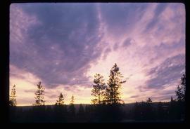
Image depicts the sky at either dusk or dawn, from an unknown location.
Image depicts the Bulkley River near Moricetown, B.C.
Image depicts the Bulkley River.
Image depicts the Skeena River at Hazelton, B.C.
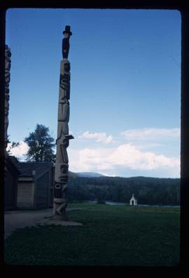
Image depicts a totem pole in the historical village of 'Ksan near Hazelton, B.C.
Image depicts Burns Lake, B.C.
File consists of a duotang containing typescript document titled "Pioneer interviews" prepared by the Prince George University Women's Club that lists oral history holdings at the Prince George Public Library.
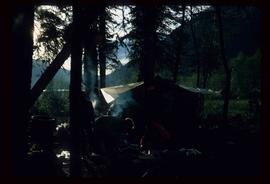
Image depicts a camp at the Betty Wendle campsite at Isaac Lake.
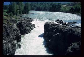
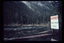
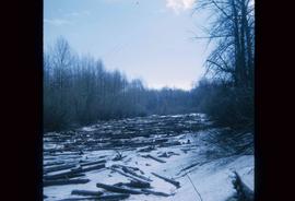
Image depicts a log jamb at the Isaac Falls.
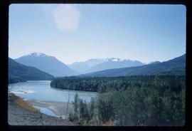
Image depicts the river channel leading to the Spectacle Lakes.
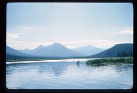
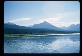
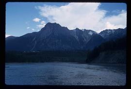
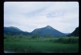
Image depicts mountains, taken from the river channel leading to the Spectacle Lakes.
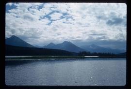
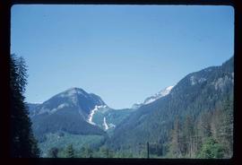
Image depicts a mountain range located somewhere along the Skeena River.
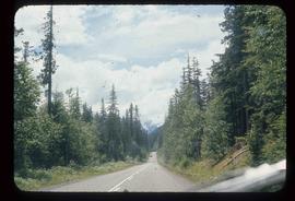
Image depicts Highway 16 en route to Prince Rupert, B.C.
File contains slides depicting geomorhp diagrams.
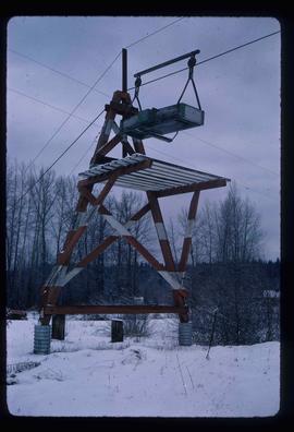
Image depicts the cableway in Willow River, B.C.
Subseries includes research material created and collected by Kent Sedgwick relating to the incorporation of the City of Prince George. Topics include the naming of the City of Prince George, city boundaries, the city amalgamation with Fort George and South Fort George, city census records, and mayors of Prince George.
File consists of photocopies and notes relating to the boundary expansions of the city of Prince George since its incorporation. Includes a graph drawn by Kent Sedgwick regarding the addition of land and water each year of the boundary expansion and a "Proclamation" photocopy from the B.C. Gazette (23 Apr. 1953). Also includes 5 maps: "City of Prince George Boundary Expansions since Incorporation in 1915" (1979 or 1980); "City of Prince George" (Feb. 1979); "Map of Prince George" (between 1970 and 1985); "Study Area Boundaries" (Mar. 1977); and "City of Prince George" (Feb. 1972).
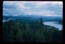
Image depicts the Fraser River from Northwood Road in the Prince George area.
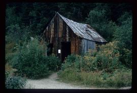
Image depicts an unrestored chinese shack in Barkerville, B.C.
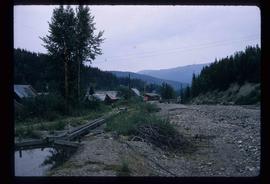
Image depicts Barkerville, B.C.
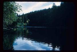
Image depicts the Stellako River.
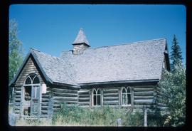
Image depicts a church located near Mapes, B.C.
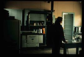
Image depicts the interior of a kitchen at an uncertain location.
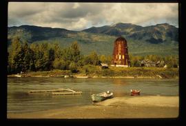
Image depicts several boats on what appears to be a river, and an old beehive burner in Penny, B.C.
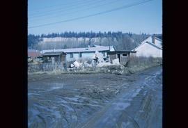
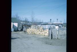
Image depicts the rubble of a demolished house at Island Cache, with several other buildings in the background.
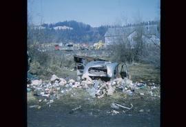
Image depicts a junk pile of bottles, cans and bags, as well as the gutted frame of an old car, at Island Cache.
Image depicts an area of cut trees at Island Cache.
Image depicts numerous houses, and an unknown child standing in a street at Island Cache.
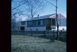
Image depicts a house at Island Cache.
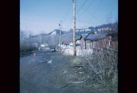
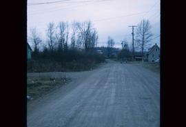
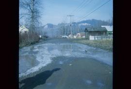
Image depicts a street in Island Cache.
Image depicts a few houses in Island Cache.
Image depicts a street in Island Cache.
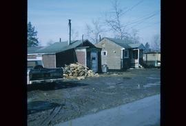
Image depicts a wood pile in Island Cache.
Image depicts Wells, B.C.
Item is an original 1970 map of British Columbia with annotations of Kent's travels throughout the province highlighted in yellow. The map was originally published by the Department of Lands, Forests and Water Resources in British Columbia.
File consists of records created and collected by Kent Sedgwick regarding the removal of Island Cache residents after the 1972 flood and suggestions for creation of park on Cottonwood Island. The majority of the file consists of reproduced City of Prince George records. Includes memoranda to and from the mayor, city manager, and aldermen; meeting minutes of the Flood Committee; city reports on Cottonwood Island and the flooding situation; a listing of Cottonwood Island properties offered for sale to the municipality; a report entitled "Cottonwood Island - A report on desirable land use" (Nov. 1970); a "Proposal for Cottonwood Island as a Park Reserve" (1973); a document from the Cottonwood Island Study Committee; correspondence from Mary Fallis; and a City of Prince George memorandum regarding a Public Hearing.
