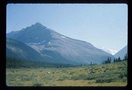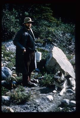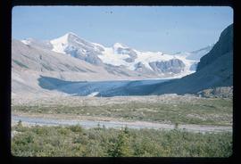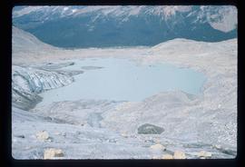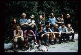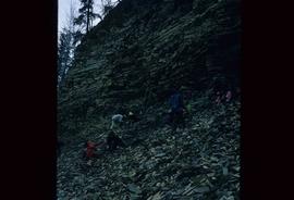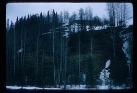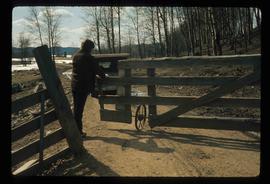
2012.13.1.56.11
·
Item
·
1973
Parte de J. Kent Sedgwick fonds
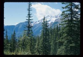
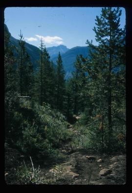
Image depicts a hiking trail through the trees.