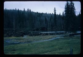
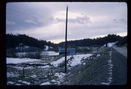
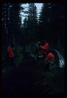
Image depicts a beaver dam somewhere in Hazleton, B.C.
File consists of notes and reproductions relating to a keekwilee house (kekuli or pithouse) at the College of New Calendona. Includes: "Keekwilee - house A Centennial Project for the College of New Caledonia" typescript document by Kent Sedgwick (Jan. 1971) and "Keekwilee House College of New Caledonia memo" typescript document from Gunar Capan to Kent Sedgwick (28 Jan. 1972).
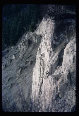
Image depicts a cutbank on the Nechako River in Prince George, B.C.
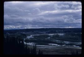
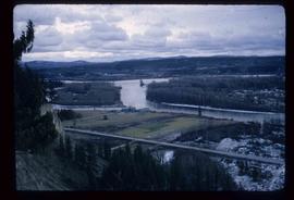
Image depicts the Fraser River from the vantage point of the cutbanks in Prince George, B.C.
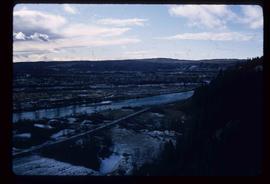
Image depicts a view of Prince George from the cutbanks on the Nechako river.
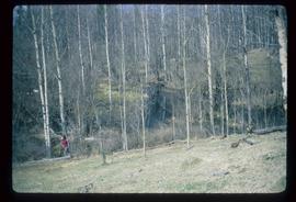
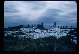
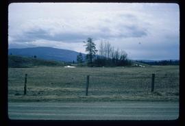
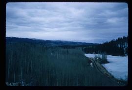
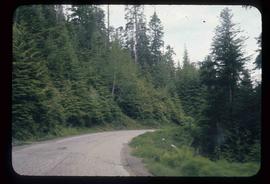
Image depicts a section of forest in the Bulkley Valley.
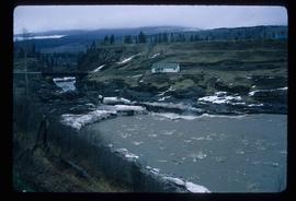
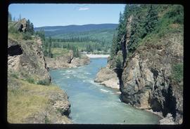
Image depicts the Bulkley River near Moricetown, B.C.
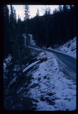
Image depicts part of the McMillan Creek Trail in the McMillan Regional Park in Prince George, B.C.
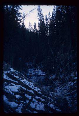
Image depicts part of the McMillan Regional Park in Prince George, B.C.
Image depicts the McMillan Creek from Northwood Pulpmill Road, in Prince George, B.C.
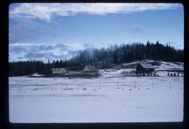
Image depicts a farmhouse on Old Summit Road in Prince George, B.C.
File consists of a duotang containing a typescript document titled "Local history cassette collection" and its regulations for use from the Prince George Public Library.
Image depicts an esker at Bednesti Lake, B.C.
Image depicts a crevasse filling ridge somewhere in the Bulkley Valley, B.C.
File consists of a duotang containing a typed document entitled "John Giscome's Country" by Bruce Ramsey originally from 1964, but retyped by the Prince George Citizen newspaper.
File consists of a pamphlet titled "The Quesnel-Lillooet Bulletin Area" prepared by the Department of Lands, Forests, and Water Resources from the Province of British Columbia. The pamphlet is a revised 2nd edition published in 1973, the original was published in 1968.
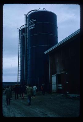
Image depicts a barn with large, Harvestore Systems. It is possibly located on one of the many farms near Vanderhoof, B.C.
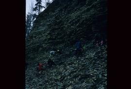
Image depicts numerous unknown individuals searching through a fossil bed, possibly in the Bulkley Valley.
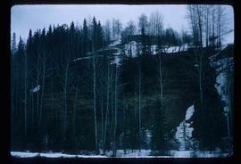
Image depicts a fossil bed, possibly somewhere in the Bulkley Valley.
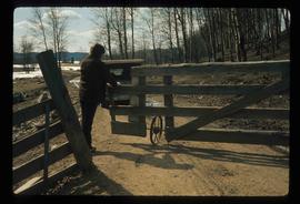
Image depicts an individual opening the gate at Nautley in Fort Fraser, B.C.
Image depicts a view of the Fraser-Nechako confluence from the Prince George cutbanks.
Image depicts Burns Lake, B.C.
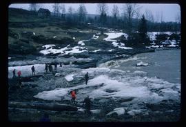
Image depicts numerous unknown individuals standing by the Bulkley River near Moricetown, B.C.
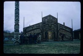
Image depicts a group of people in the historical village of 'Ksan near Hazelton, B.C.
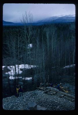
Image depicts a group of people at a mine somewhere near Hazelton, B.C.
Item is an original 1972 map depicting the Nass River in British Columbia, published by the Department of Lands, Forests and Waster Resources of British Columbia.
Item is an original 1972 map depicting Punchaw Lake in British Columbia, published by the Department of Energy, Mines & Resources in Ottawa. The map includes pen markings.
File contains slides depicting various types of instruments at various locations, including Willow River.
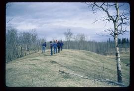
Image depicts a group of unidentified individuals walking along a crevasse filled ridge somewhere in the vicinity of Smithers, B.C. The slide also labels it as a "drift ridge."
Map depicts the city of Prince George Boundary expansions since 1913.
Map depicts the city of Prince George boundary expansions from 1913 to 1974.
File consists of a duotang containing typescript document titled "Pioneer interviews" prepared by the Prince George University Women's Club that lists oral history holdings at the Prince George Public Library.
Image depicts the slopes of Tabor Mountain in Prince George, B.C.
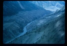
Image depicts the Fraser River in the Lillooet, B.C.
Image depicts the canoe group portaging to Indianpoint Lake.
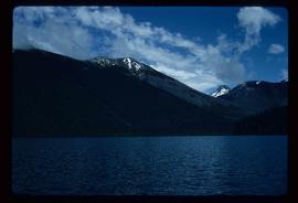
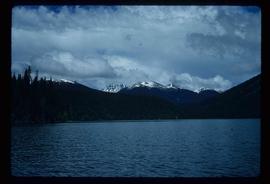
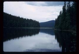
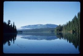
Image depicts Indianpoint Lake.
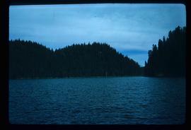
Image depicts the foot of Indianpoint Lake.
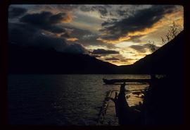
Image depicts the sunset over Isaac Lake from the Betty Wendle campsite.
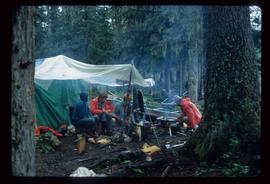
Image depicts a camp at the foot of Isaac Lake.
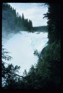
Image depicts the Cariboo Falls.
Image depicts the lower end of the river channel leading to the Spectacle Lakes.
Image depicts a few unknown individuals canoeing in a slough area while on approach to Bowron Lake.
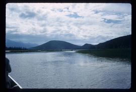
Image depicts a slough area while on approach to Bowron Lake.
Image depicts the river channel leading to the Spectacle Lakes.
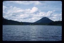
Image depicts Spectacle Lake.
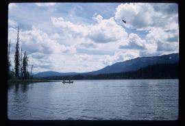
Image depicts two unknown individuals canoeing on the lower part of Spectacle Lake.
Image depicts the Bulkley River near Moricetown, B.C.
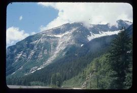
Image depicts a mountain range located somewhere along the Skeena River.
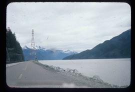
Image depicts a road leading to Prince Rupert, B.C.
Image depicts the Skeena River.
