2023.2.2.12.7.30
·
Item
·
27 Aug. 2007
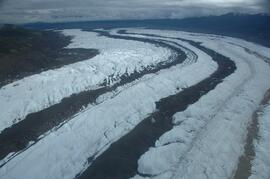
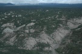
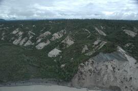
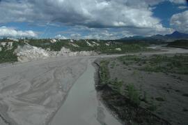
Parte de Dr. Paul Sanborn fonds