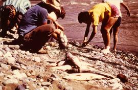
Photograph depicts group of men and women on rocky shore, pile of fish in foreground. Photo speculated to have been taken in the Telegraph Creek area, possibly at the Tahltan or Stikine River, B.C.
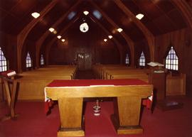
Photograph depicts interior of church believed to be the All Saints Anglican Community Church at Cassiar, B.C. Table and pulpit in foreground, pews and door in background. Stained glass windows line both sides of the building.
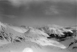
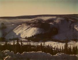
Photograph depicts range of mountains in winter near Cassiar, B.C.
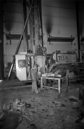
Photograph depicts two unidentified men in coveralls and hard hats, working in garage. Blasthole drill stands behind them in midground, walls in background.
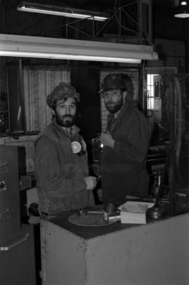
Photograph depicts two men wearing coveralls and hard hats in shop area. Wally Cameron stands on right.
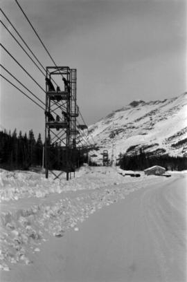
Photograph depicts ore cars on cables running between tramline towers on left. Road in right foreground, building and McDame mountain in background. Tramline ran through mine valley, between loading station in mine and dump station at mill on plantsite.
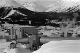
Mill building in left midground. Conveyor believed to be leading to tailings pile can be seen in foreground. Valley and mountains in background.
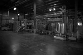
Photograph depicts palletizer machinery, where bags of asbestos fibre were shrink-wrapped and made ready for shipping pallets. Palletizer was located near shipping (believed to be in mill building).
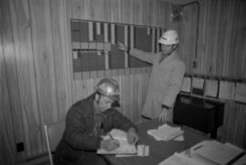
Photograph depicts Chris Tates seated at table with paperwork in left foreground. David Pewsey stands behind on right, pointing to what appears to the Fibre Loading Schedule. Pewsey was supervisor of the Fibre Storage Shed. Both men wear hardhats. Tates believed to be wearing gold nugget Cassiar ring on left hand.
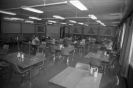
Photograph depicts unidentified man seated at one of many dining tables lining large room.
Cassiar Asbestos Corporation Ltd opened a second mine in 1967 at what became the one-industry town of Clinton Creek, Y.T. File contains photographs depicting different areas of operations at Clinton Creek. Locations include the mine, plant, town, tailings pile, main office, the 40 Mile River, and surrounding area. Town photos depict the grocery store, cafeteria, medical clinic, school, auditorium residential area, Connell Street and power house. File also includes aerial photographs and images depicting forest fighting, photographers capturing the tailings pile, asbestos samples, mining machinery, staff offices, and operations in the mill, lab, and garage.
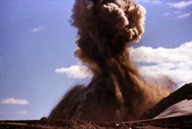
Additional photographs integrated into file depict Clinton Creek's surrounding area, and three slides of a tailing pile explosion believed to be Clinton Creek.
Photograph depicts a tailing pile explosion at the Clinton Creek mine.
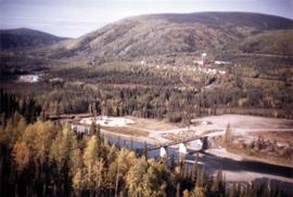
Photograph depicts an aerial view of the Clinton Creek plantsite.
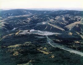
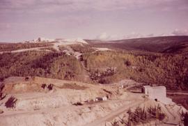
Photograph depicts an aerial view of the Clinton Creek mine.
Photograph depicts an aerial view of the Clinton Creek townsite.
Photograph depicts an aerial view of the Clinton Creek quarry site on the mountain.
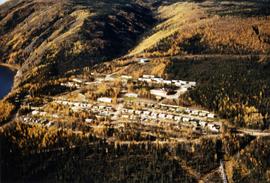
Photograph depicts an aerial view of the Clinton Creek residential area with autumn colours.
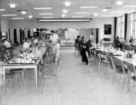
Photograph depicts the Clinton Creek cafeteria. Writing on reverse states, "'The Ritz' cookery. Notice new chairs. Benches have disappeared."
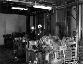
Photograph depicts lead hand mechanic Frank Power and mill main forman John Winner in the hydraulic room of the bagging machine at the Clinton Creek mine.
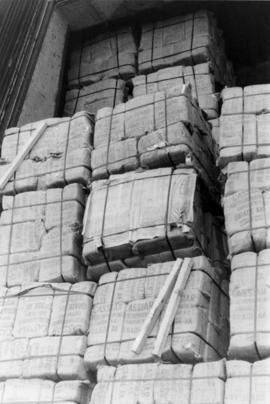
Photograph depicts a unit of packaged grade AK asbestos on a ship, possibly in Sydney harbour.
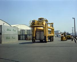
Photograph depicts a shipping container being transported by a yellow vehicle at the asbestos wharf on pier 94.
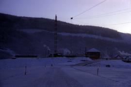
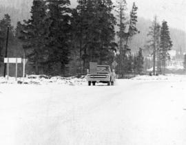
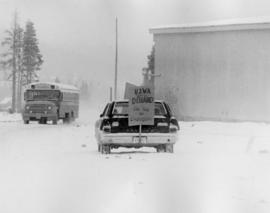
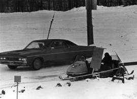
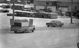
Photograph depicts a road and buildings in winter.
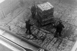
Photograph depicts three dock workers about to remove the sling of asbestos bags from the hooks, possibly in Sydney harbour.
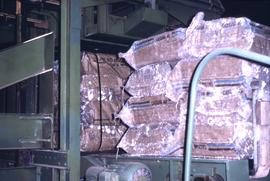
Photograph depicts asbestos being packaged for transportation.
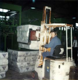
Photograph depicts a forklift test using a pallet of packaged asbestos.
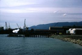
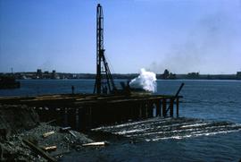
Photograph depicts the Cassiar Asbestos Corporation's wharf being built.
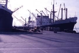
Photograph depicts a docked ship at the Cassiar asbestos wharf.
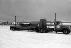
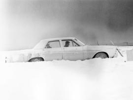
Photograph depicts a Clinton mine transportation semi truck in winter.
Photograph depicts the early stages of building the Cassiar Asbestos Corporation's wharf.
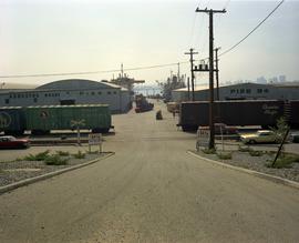
Photograph depicts the asbestos wharf on pier 94 with train tracks.
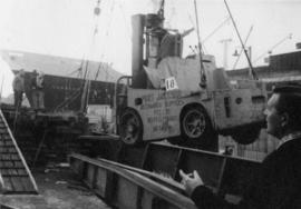
on reverse of photograph: "Sydney - 'Amstelveld' No. 4 Hold. Slinging dismantled fork truck into hold by ships gear."
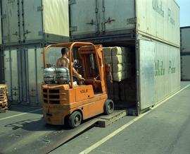
Photograph depicts a forklift carrying a pallet of packaged asbestos into a "White Pass" shipping container.
