2012.13.1.53.14
·
Pièce
·
June 1974
Fait partie de J. Kent Sedgwick fonds
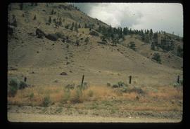
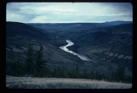
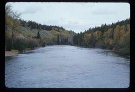
Image depicts an irrigation ditch in Lillooet, B.C.