Mostrar 4534 resultados

Archival description
3113 resultados com objetos digitais Mostrar resultados com objetos digitais
McBride - Yellowhead
2012.13.1.085 · Subsérie · [between 1970 and 2004]
Parte de J. Kent Sedgwick fonds

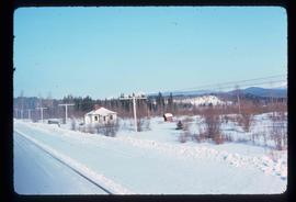
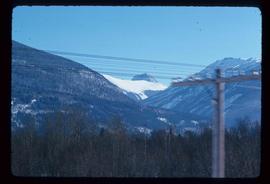
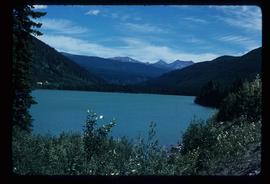
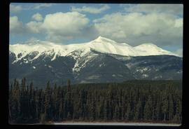
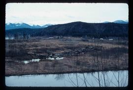
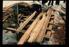
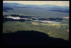
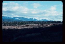
File contains slides depicting places in and between McBride and the Yellowhead Pass via the Yellowhead Highway.

Portal Lake
2012.13.1.85.36 · Item · Aug. 1979
Parte de J. Kent Sedgwick fonds

Image depicts Portal Lake, located near the Yellowhead Pass on the British Columbia-Alberta border, west of Jasper, A.B.

Mountain
2012.13.1.85.47 · Item · May 1981
Parte de J. Kent Sedgwick fonds

Image depicts a mountain at an uncertain location.

Old House
2012.13.1.87.018 · Item · [between 1975 and 1995]
Parte de J. Kent Sedgwick fonds

Image depicts an old house missing windows and doors at an uncertain location.

Old House in Sinclair Mills
2012.13.1.87.019 · Item · [between 1975 and 1995]
Parte de J. Kent Sedgwick fonds

Image depicts an old house missing windows and doors in the foreground, and a bunkhouse in the background, in Sinclair Mills, B.C. Map coordinates 54°01'17.4"N 121°40'53.0"W

Three Children and Two Goats
2012.13.1.87.022 · Item · [between 1975 and 1995]
Parte de J. Kent Sedgwick fonds

Image depicts three unidentified children standing in the doorway of a house, with two goats ascending the porch steps. The location is uncertain, likely Sinclair Mills, B.C.

Dirt Road
2012.13.1.87.024 · Item · [between 1975 and 1995]
Parte de J. Kent Sedgwick fonds

Image depicts a dirt road leading through numerous trees toward a mountain. The location is uncertain, likely on the way to Longworth, B.C.

Dirt Road
2012.13.1.87.025 · Item · [between 1975 and 1995]
Parte de J. Kent Sedgwick fonds

Image depicts a dirt road leading through numerous trees toward a mountain. The location is uncertain, likely on the way to Longworth, B.C.

Longworth - Railway Tracks
2012.13.1.87.031 · Item · [between 1975 and 1995]
Parte de J. Kent Sedgwick fonds

Image depicts two unidentified individuals standing next to the train station, and two railway tracks running through Longworth, B.C.

A Saw
2012.13.1.87.036 · Item · [between 1975 and 1995]
Parte de J. Kent Sedgwick fonds

Image depicts a saw and numerous wooden boards at an uncertain location.

House in Upper Fraser, BC
2012.13.1.87.042 · Item · [between 1975 and 1995]
Parte de J. Kent Sedgwick fonds

Image depicts and old house and vehicle in Upper Fraser, B.C. Map coordinates 54°07'05.7"N 121°56'38.9"W

Upper Fraser General Store
2012.13.1.87.043 · Item · [between 1975 and 1995]
Parte de J. Kent Sedgwick fonds

Image depicts the Upper Fraser General Store in Upper Fraser, B.C. Two other signs indicate that it is also a post office and a place that offers propane refills. Map coordinates 54°07'10.8"N 121°56'51.7"W

Giscome Landscape
2012.13.1.87.071 · Item · [between 1975 and 1995]
Parte de J. Kent Sedgwick fonds

Image depicts an open area with Eaglet Lake in the background. It depicts the previous site of the mill at Giscome, B.C. Map coordinates 54°04'19.7"N 122°22'04.7"W

Employee Houses on Giscome Mill Site
2012.13.1.87.088 · Item · [between 1980 and 2000]
Parte de J. Kent Sedgwick fonds

Image depicts employee houses on mill site in Giscome, B.C. Tug boats are in the foreground on the right. Map coordinates 54°04'23.4"N 122°22'16.9"W

Giscome - Power Poles
2012.13.1.87.098 · Item · [between 1975 and 1995]
Parte de J. Kent Sedgwick fonds

Image depicts the remains of a street of houses in Giscome, B.C. The quarry is slightly visible in the background. Map coordinates 54°04'20.9"N 122°21'53.1"W

Driveway in Newlands, BC
2012.13.1.87.102 · Item · [between 1975 and 1995]
Parte de J. Kent Sedgwick fonds

Image depicts a driveway cordoned off by a red mesh material in Newlands, B.C. The address of the house is labelled 31951, and the name listed is "Fauchers." Map coordinates 54°06'47.8"N 122°08'22.4"W

Abandoned Cabin with Ivy
2012.13.1.87.117 · Item · [between 1970 and 1990]
Parte de J. Kent Sedgwick fonds

Image depicts an old and abandoned cabin with ivy growing up the side. The location is uncertain.

Lake and Forests
2012.13.1.87.143 · Item · [between 1975 and 1995]
Parte de J. Kent Sedgwick fonds

Image depicts an aerial view of a lake and large, forested areas. The location is uncertain.

Giscome Houses and Giscome Mill
2012.13.1.87.156 · Item · [between 1975 and 1995]
Parte de J. Kent Sedgwick fonds

Image depicts several houses and the Giscome saw mill in Giscome, B.C. in the background. Map coordinates 54°04'20.9"N 122°21'53.1"W

Eaglet Lake Creek
2012.13.1.89.095 · Item · [1980?]
Parte de J. Kent Sedgwick fonds

Image depicts the creek flowing into Eaglet Lake. A grey area of hill on the right side of the image appears to be the Giscome Quarry. Map coordinates 54°04'26.2"N 122°22'04.3"W

Train on Hansard Bridge
2012.13.1.89.137 · Item · 1999
Parte de J. Kent Sedgwick fonds

Image depicts a train on the Hansard Bridge across the Fraser River looking west. Map coordinates 54°04'37.7"N 121°50'39.9"W

Dawson Creek
2012.13.1.91.01 · Item · Sep. 1974
Parte de J. Kent Sedgwick fonds

Image depicts a road with a guardrail and open fields somewhere near Dawson Creek, B.C.

W.A.C. Bennett Dam
2012.13.1.91.02 · Item · Sep. 1974
Parte de J. Kent Sedgwick fonds

Image depicts a section of the Peace River blocked off by the W.A.C. Bennett Dam. The dam itself is not visible in the image.