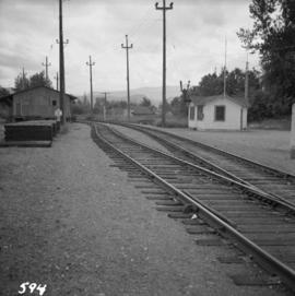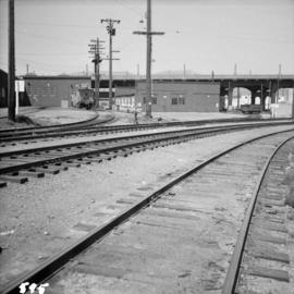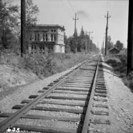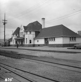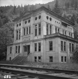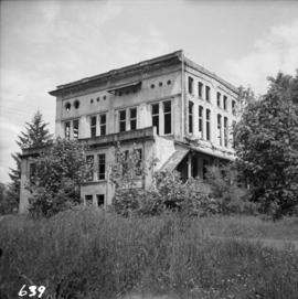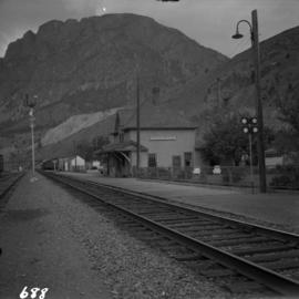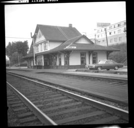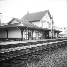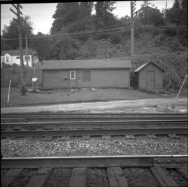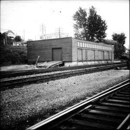
2013.6.36.1.007.115
·
Item
·
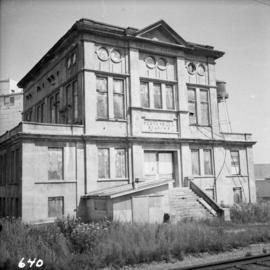
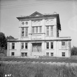
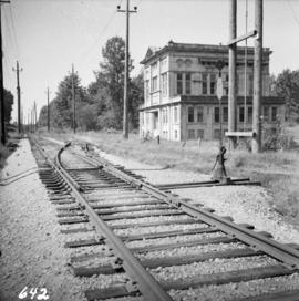
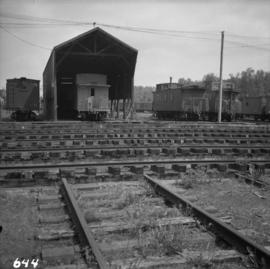
Aug. 1964
Parte de David Davies Railway Collection
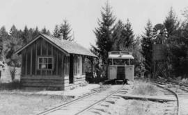
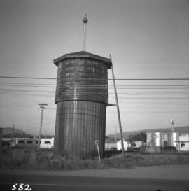
Photograph depicts a full but unused water tank at Duncan Station on the Esquimalt and Nanaimo Railway on Vancouver Island.