2013.6.36.1.079.11
·
Item
·
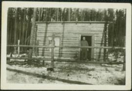
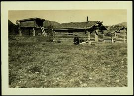
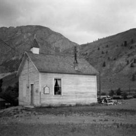
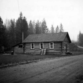
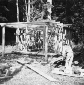
5 Sept. 1970
Part of David Davies Railway Collection
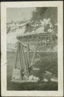
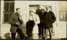
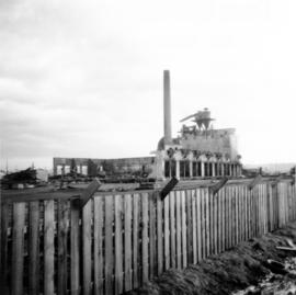
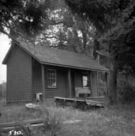
Photograph depicts the same person who owned the service station building electric generator house in Trout Lake. He also built an undershot water wheel that was driven by Lardeau Creek.