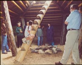
Unidentified women stands in centre background with arm raised, and a young girl sits on post in foreground. Photograph was taken during the chancellor's tour of Xats'ull Heritage Village, Soda Creek First Nation, Williams Lake, B.C.
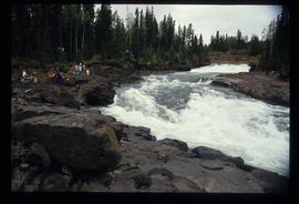
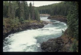
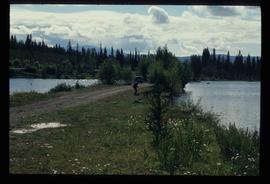
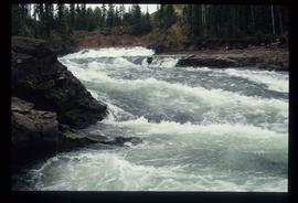
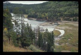
Image depicts the Cheslatta River.
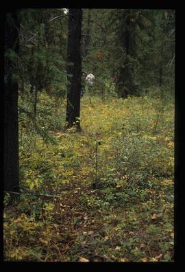
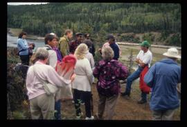
Image depicts a few unknown individuals walking through the forest at Cheslatta.
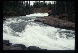
Image depicts the Cheslatta River.
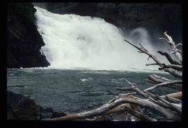
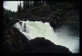
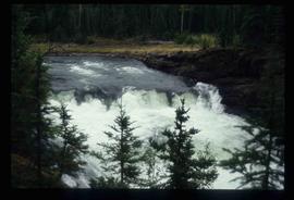
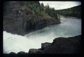
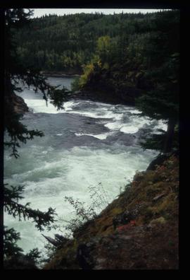
Image depicts the Cheslatta Falls.
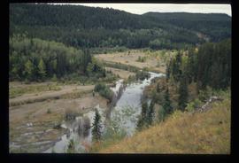
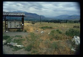
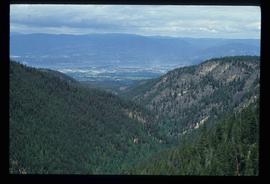
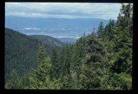
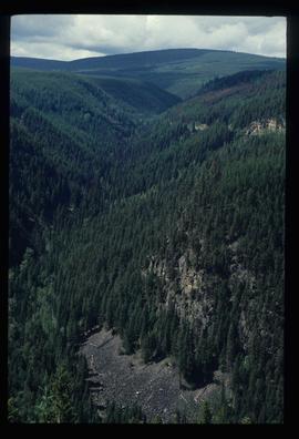
Image depicts a view of the Okanagan Kettle Valley.
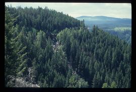
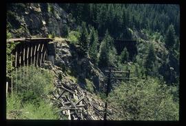
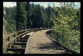
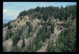
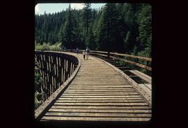
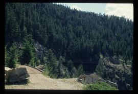
Image depicts a view of Kettle Valley, with a bridge of the old Kettle Valley Rail Road visible on a slope.
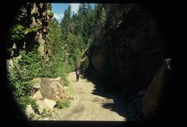
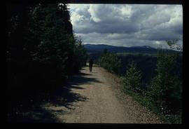
Image depicts a woman walking along a trail somewhere in Kettle Valley, B.C.
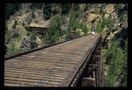
Image depicts a woman walking along the trail of the Kettle Valley Rail Road.
Image depicts the trail of the old Kettle Valley Rail Road.
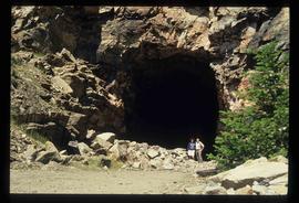
Image depicts a man and woman standing in the mouth of a tunnel from the old Kettle Valley Rail Road.
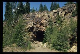
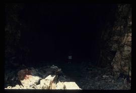
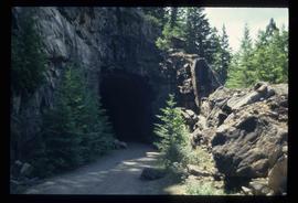
Image depicts the mouth of a tunnel from the Kettle Valley Rail Road.
Image depicts a man standing on the old Kettle Valley Rail Road.
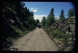
Image depicts a van on a narrow road, likely the Kettle Valley Trail.
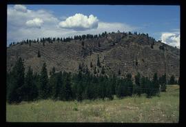
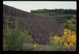
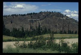
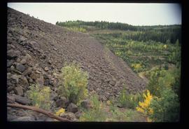
Image depicts a hill in kettle Valley B.C.
File consists of notes, clippings, and reproductions relating to urban planning and writing by Kent Sedgwick. Includes: "The Downtown Streets of Prince George: a 'City Beautiful' Plan" typescript document by Kent Sedgwick (7 Oct. 1991); "A Report on the Issues of Downtown Revitalization in Prince George" from the Downtown Revitalization Committee (Nov. 1996); and "Letters to the editor" typescript letter to the Prince George Citizen from Kent Sedgwick (3 Mar. 1985).
File consists of maps depicting the Salmon River Portage area.
File consists of notes and clippings relating to Jasper and the Yellowhead Pass.
File contains slides depicting Revelstoke.
Image depicts the Kenney Dam near Cheslatta, B.C.
Image depicts the Cheslatta River.
Image depicts the Cheslatta Falls.
Image depicts what appears to be a tour group at Cheslatta.
Image depicts the Cheslatta Falls.
File contains slides depicting the Okanagan Kettle Valley.
Image depicts a man fishing in the Kettle River.
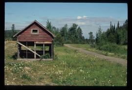
Image depicts a small, ruined shed somewhere in the Okanagan Kettle Valley.
Image depicts a view of the Okanagan Kettle Valley.
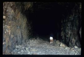
Image depicts an unknown figure standing inside a tunnel from the old Kettle Valley Rail Road.
Image depicts the old Kettle Valley Rail Road.
File consists of clippings, notes, and reproductions relating to Moore's Meadow in Prince George. Includes: "Charles W. Moore" handwritten notes by Kent Sedgwick (2000); "The origin of Moore's Meadow" typescript by Kent Sedgwick; and "Moore's Meadow" typescript document by Mary Fallis (Jan. 1991).
Image depicts the Cheslatta River.
Image depicts a view of the Okanagan Kettle Valley.
Image depicts a tunnel from the old Kettle Valley Rail Road.
Image depicts a woman standing inside a tunnel from the old Kettle Valley Rail Road.
Image depicts several unknown individuals standing on the old Kettle Valley Rail Road.
Image depicts a hill and some power lines in Kettle Valley, B.C.
Image depicts the Kenney Dam near Cheslatta, B.C.
Image depicts the Cheslatta River.
Image depicts the Cheslatta River.
Image depicts the Cheslatta Falls.
Image depicts the Cheslatta Falls.
File contains slides depicting the Okanagan Brigade Trail.
Image depicts the Okanagan Kettle Valley, with the Kettle Rail Road faintly visible among the trees
Image depicts the trail of the old Kettle Valley Rail Road.
Image depicts a woman standing inside a tunnel from the old Kettle Valley Rail Road.
Image depicts the mouth of a tunnel from the Kettle Valley Rail Road.
Image depicts a woman standing on the old Kettle Valley Rail Road.
File consists of notes, clippings, and reproductions relating to various communities along the East Line. Includes material regarding Penny; the Robson Valley; the Ancient Rainforest; Dome Creek; Bend; Loos; Crescent Spur; and Dewey. File includes photographs depicting the Fraser River and Morkill Forest Service Road near Crescent Spur and Dome Creek (2010).
File consists of notes and reproductions relating to the survey of Prince George. Includes material on survey plans, lots in Prince George, original town planning, subdivision plans, and Kent Sedgwick's handwritten notes on surveying and town planning in Prince George. File primarily includes photopied maps depicting town lots and planning in Prince George. Includes: "RE: Title Search for Fairgrounds" typescript letter from Kent Sedgwick to Dr. Dick Rowe (26 Apr. 1990) and "Map showing South Fort George, Fort George (Central) and the additions surveyed in 1910 or later" reproduced map from the Fort George Tribune newspaper.
