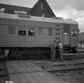
Showing 3076 results

Archival description
2716 results with digital objects Show results with digital objects
Sperry Rail testing car
2013.6.36.1.104.11 · Item · Nov. 1993
Part of David Davies Railway Collection

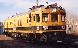
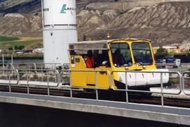
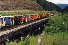
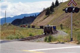
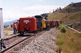
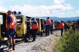
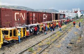
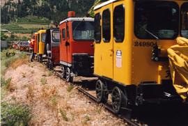
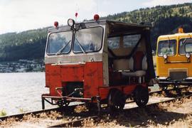
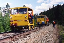
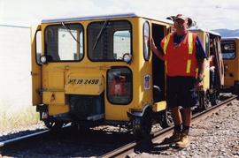
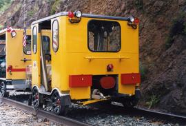
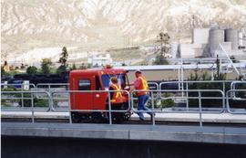
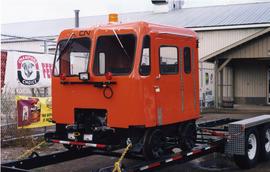
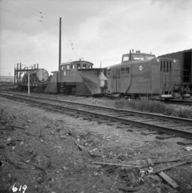
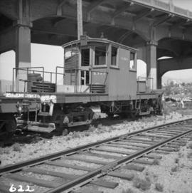
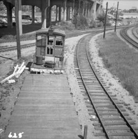
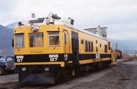
Photograph depicts a Sperry Rail testing car in the CPR yard in downtown Kamloops. These cars must have been between 60 and 70 years old, but they were kept in excellent condition. Car #127 was built in 1926 and modernized in 1989.

2013.6.36.1.089.04 · Item · Jan. 2002
Part of David Davies Railway Collection

Photograph depicts a Sperry Rail Service inspection car that had broken down in the CPR Kamloops yard. Car #127 was built in 1927 as a gas electric car for Boston and Maine R.R. It was modernized in 1989.

Spences Bridge
2013.6.36.3.08.07 · Item · [after 1949]
Part of David Davies Railway Collection

Postcard depicts a "few miles up river from Spences Bridge this spectacular sight of the deep-blue Thomspon, among the sagegreen hills. Scores of ardent fishermen have found this river excellent for catching Steelhead throughout the fish run." Eastbound way freight of the CPR, upgrade. Way freights going from Kamloops to Ashcroft, etc. Still carried cabooses in 1996. Main line freights lost their cabooses in Jan./Feb. 1990. Photo likely taken in the late 1980s.

2013.6.36.1.123.01 · Item · [29 June 2002]
Part of David Davies Railway Collection

Photograph depicts a speeder meet of "Motor Car Operators West" enthusiasts. Comprised of 25 cars. All taking part in a weekend tour of the Okanagan. On this day, they were going from Vernon to Lumby and Kelowna. Cars were getting ready to depart at the yard of the Kelowna Pacific Railway in Vernon. The cars were headed south to be preceeded by hi-rail of the KPR.

2013.6.36.1.028.33 · Item · 14 Sept. 1970
Part of David Davies Railway Collection

Photograph depicts the South Slocan Junction at mile 11.9 on the CPR line on the Nelson Boundary Subdivision. It closed as an agency in June 1969 but the telegrapher still maintained it. Three to four freights pass per day on the main line: 2 to Trail, 1 to Castlegar pulp mill, and 1 every other day to Midway. On the branch there is 1 train per week to Nakusp that leaves Nelson on Monday, arrives in Nakusp on Tuesday, and returns to Nelson on Wednesday. The view is looking east.

South Shore Line
2013.6.36.1.048.10 · Item · 26 Sept. 1974
Part of David Davies Railway Collection

Photograph depicts the south shore line of the B.C. Electric Railway in False Creek, Vancouver. B.C. Hydro operated it, if not owned it. The location was directly opposite from Granville Island.

Soda Creek reaction ferry
2013.6.36.1.071.07 · Item · [July 1966]
Part of David Davies Railway Collection

Photograph depicts the Soda Creek reaction ferry. A ferry was sited between Soda Creek and Marguerite. The reaction ferry in Soda Creek itself had been abandoned for some time.

Snowplow extra at Kingsvale
2013.6.36.1.021.21 · Item · Feb. 1985
Part of David Davies Railway Collection

Photograph depicts a snowplow extra on the CPR line at Kingsvale, on the Princeton Subdivision at about mile 119. The snowplow extra was running south from Merritt with a plough, 2 locomotives and a caboose. Towards Brookmere summit the snow was 9 to 12 inches deep.

Snowplow extra at Kingsvale
2013.6.36.1.021.22 · Item · Feb. 1985
Part of David Davies Railway Collection

Photograph depicts a snowplow extra on the CPR line at Kingsvale, on the Princeton Subdivision at about mile 119. The snowplow extra was running south from Merritt with a plough, 2 locomotives and a caboose. Towards Brookmere summit the snow was 9 to 12 inches deep.

2013.6.36.1.020.04 · Item · 15 Oct. 1972
Part of David Davies Railway Collection

Photograph depicts the interior of a snow shed at about mile 29.0 using CPR mileages commencing at Brookmere, which is 4 miles east of Brookmere. It is on the ex CPR Coquihalla Line from Hope to Brodie Junction.

Slocan branch line
2013.6.36.1.029.10 · Item · Aug. 1983
Part of David Davies Railway Collection

Photograph depicts what is thought to be the Slocan branch line, near Passinae which is at mile 10.8 gtom south Slocan. This is at the point where the rail road and river lie close together. Approximately 20 miles west of Nelson.