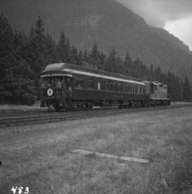
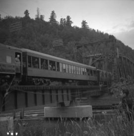
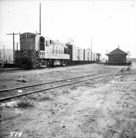
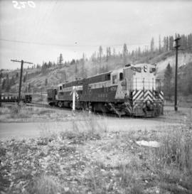
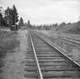
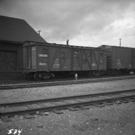
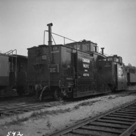
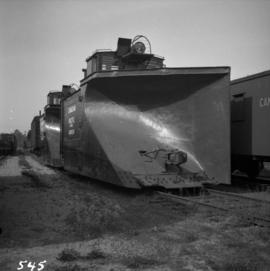
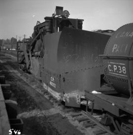
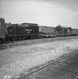
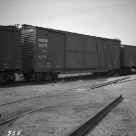
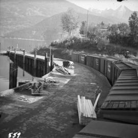
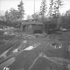
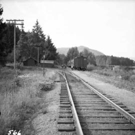
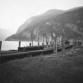
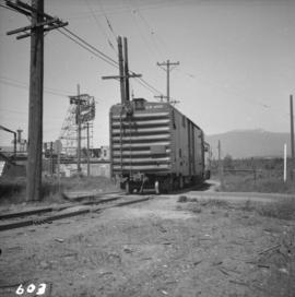
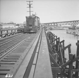
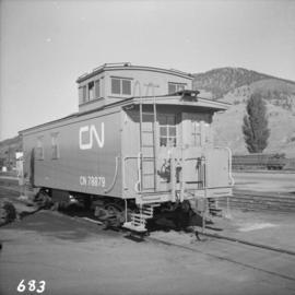
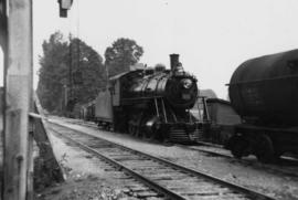
Photograph depicts a locomotive near Cowichan Bay, B.C.
Photograph depicts a southbound C.P.R. streamliner at the Mud Bay crossing on Vancouver Island. This part of track belongs to the Esquimalt and Nanaimo Railway, and the crossing is being re-sited.
Photograph depicts a West Coast Railway Association locomotive and car at a C.N.R. station in Vancouver. The trackage actually belongs to a demolished Great Northern Railway Station.
Photograph depicts a train at the Great Northern Railway Station in Vancouver, B.C.
Photograph depicts a train car backing up on the west side of the C.N. station in Hope. It is part of the West Coast Railway Association trip on August 8, 1964.
Photograph depicts one of the two open C.P.R. cars located at Vancouver included in the West Coast Railway Association special trip from Vancouver to Hope. The cars stopped at Sumas Bridge for a photo halt.
Photograph depicts the last spike at Craigellachie, 15 miles northeast of Sicamous, looking southwest.
Photograph depicts the Sperry Rail service car #136 for detection of faulty rails at the Penticton C.P.R. depot. It is used mainly to cover rail manufactured prior to 1932.
Photograph depicts the Courtenay terminus of the Esquimalt and Nanaimo Railway. The view is looking north.
Photograph depicts the Malahat station on the Esquimalt and Nanaimo Railway line, 20 miles north of Victoria on Vancouver Island. The view is looking south and there are no houses anywhere in the vicinity.
Photograph depicts the Nanaimo passenger depot of the Esquimalt and Nanaimo Railway (at right) and the E & N freight shed (at left).
Photograph depicts the junction station of the Esquimalt and Nanaimo Railway at Parksville on Vancouver Island. The view is looking south.
Photograph depicts yard signals of the MacMillan Bloedel & Powell River Logging Railway, primarily protecting the Comox Logging & Railway Company crossing. The Esquimalt and Nanaimo Railway is about 300 yards to the north. Crossing is near Ladysmith. It is most unusual to find signal in B.C. at this point.
Photograph depicts the C.P.R. depot at Oliver. There is a way freight stopped at the depot, either before or after switching.
Photograph depicts a C.P.R. two-loco way freight train switching zinc ore concentrate below Kimberley City but above concentrator, on the Kimberley-Cranbrook line.
Photograph depicts the extreme west end of C.P.R. trackage at Coal Harbour, looking east towards the yards and downtown after a snowfall.
Photograph depicts the Cobble Hill Station on the Esquimalt and Nanaimo Railway on Vancouver Island. The view is looking south.
Photograph depicts the service car of the Esquimalt and Nanaimo Railway in front of the E & N freight shed. The Nanaimo passenger depot (not depicted) is located behind the photographer.
Photograph depicts the rear view of two C.P.R. snowplows in the Coquitlam yards. The one in the forefront is #400790.
Photograph depicts the front view of two snow plows at the C.P.R. Coquitlam yards.
Photograph depicts a mechanical side cutting machine at the C.P.R. Coquitlam yards.
Photograph depicts a C.P.R. wrecking train unit at Vancouver station.
Photograph depicts a boxcar at the C.P.R. Coquitlam yards. Note the frame construction.
Photograph depicts the C.P.R. wharf at Kaslo on Kootenay Lake. The wharf is used to load/unload cars from vehicles or lake scows. The ferry slip itself is beyond the tank cars, at the center middle distance of the photo.
Photograph depicts the C.P.R. train station at Kaslo. At one time the line ran between Kaslo and Nakusp, via New Denver. It was lifted in 1915-1920. The trackage now consists of Kootenay Lake slip and about 1 mile of sidings. It is used mainly for oil (incoming) and lumber (outgoing).
Photograph depicts CPR buildings near Shawnigan Lake depot on Vancouver Island. The buildings in the centre are a section house (left) and a speeder or tool shed (right). They sit inside a wye track. Spur on the left is all that is left of "Y" turning center. The view is looking south. The Shawnigan Lake station (not depicted) is located at mile post 27.8 approximately 1/2 mile to the railway south of these buildings which are to the south of the photographer.
Photograph depicts sheds and repair center of the C.P.R. at Victoria, near Lime Bay. The rail-liner just came in from the daily run to Courtenay.
Photograph depicts the Malahat Station on the Esquimalt and Nanaimo Railway on Vancouver Island. The view is looking south towards Victoria.
Photograph depicts the C.P.R. Michel Station between Crow's Nest and Fernie. The view is looking west towards the only working colliery left in the district. The station is disused but in good repair.
Photograph depicts a C.P.R. rail car slip at Slocan City, on the south end of Slocan Lake, on the line between Slocan and South Slocan. The view is looking north.
Photograph depicts a velocipede north of C.P.R. track and immediately west of Port Hammond in the Fraser Valley. These three-wheeled hand/foot powered track vehicles were mostly used by track patrolmen.
Photograph depicts the C.P.R. yards in Vancouver, just west of railway station in the downtown area. The view is looking east from Burrard St.
Photograph depicts the C.P.R. yards just west of downtown passenger station and in front of Pier B, owned by the C.P.R. The view is looking northwest from Burrard St.
Photograph depicts a B.C. Electric Railway locomotive #902 and boxcar entering the Kitsilano yards and crossing 2nd Ave., near Fir St. in Vancouver.
Photograph depicts ten ballast cars of the B.C. Electric Railway on newly laid industrial spur on the northeast side of the Langley depot.
Photograph depicts the B.C. Electric Railway crossing at Serpentine Creek, 2 miles west of Cloverdale. The view is looking north.
Photograph depicts the B.C. Electric Railway trackage at Kerrisdale in Vancouver. The photo was taken from 49th Ave. and West Boulevard, looking north. The second track used to lie to the right of the existing one.
Photograph depicts the former B.C. Electric Railway spur running westwards along Bridgeport Rd., leading from the former main trackage. It was not in use for many years and was lifted in 1965, except for road crossings. The photo is taken from the intersection with Sexsmith Rd., looking east. The former main trackage is sited about 300 yards in the background and at right angles to the track in the foreground.
Photograph depicts a B.C. Electric Railway trolley electric locomotive #960, in freight yard below the Georgia Viaduct in Vancouver.
Photograph depicts an auto special at New Westminster, travelling west to McPherson Ave. industrial estate in south Burnaby.
Photograph depicts a B.C. Electric Railway locomotive #902 crossing the False Creek trestle, travelling north.
Photograph depicts a ballast wagon awaiting demolition at repair shed of the B.C. Electric Railway in New Westminster. The car was built in 1948.
Photograph depicts a machine for cleaning the track of weeds with loose roots. It belongs to the B.C. Electric Railway and is located at Langley.
Photograph depicts the Canadian National Railway (CN) Port Mann depot.
Photograph depicts the Canadian National Railway (CN) main line from the Vancouver depot. The view is looking east, down from the bridge carrying Clark Dr.
Photograph depicts the Canadian National Railway (CN) trestle leading to the swing bridge across the north arm of the Fraser River. The view is taken from Lulu Island, looking northeast. Stumps under the trestle indicate this is the second trestle on the site.
Photograph depicts the Canadian National Railway (CN) track on Lulu Island, about 4 miles west of the eastern tip of the island. The track to the right runs along the northern edge of the island and the left-hand track goes to the Lafarge Cement Plant on the south bank of Lulu Island.
Photograph depicts the Canadian National Railway (CN) switcher #7218 and caboose on Lulu Island about to cross the New Westminster Highway, travelling northward on a spur. It came southwards as a loaded freight with 3 boxcars for a small spur behind the photo, and 3 empty cement tank cars for the Lafarge Cement Plant on the south bank of Lulu Island, half a miles distant behind the caboose.
Photograph depicts a piece of abandoned track leading to the peat plant at #8 road on Lulu Island on the Westminster Highway. The track runs parallel to the Westminster Highway, which is at the left beyond the photo. The rail is undated and marked, "Rlymney Steel" (South Wales). The photo is looking west and the Canadian National Railway (CN) spur lies a quarter mile behind the camera.
Photograph depicts a freshly painted Canadian National Railway (CN) caboose at Kamloops Junction depot.