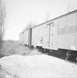
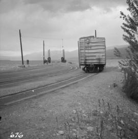
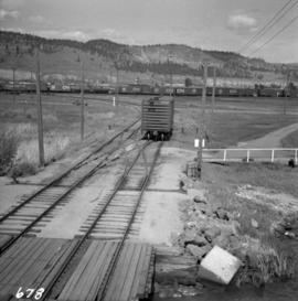
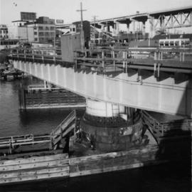
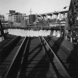
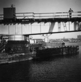
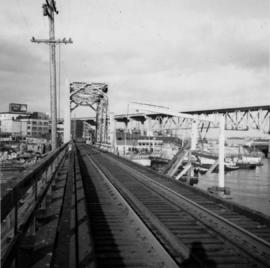
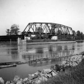
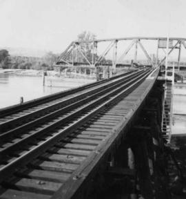
Photograph depicts the Canadian National Railway (CN) Kamloops Junction depot, facing east. The single line spur to Kamloops is about two miles long.
Photograph depicts the hand truck and track material at Tilbury, Delta in the Fraser Valley. It belongs to the Canadian National Railway (CN)
Photograph depicts a motor trolley travelling east and dropping off ties at the Canadian National Railway (CN) track side about a half mile east of Fort Langley/
Photograph depicts the Canadian National Railway (CN) track on Lulu Island leading to the swing bridge that crosses the north arm of the Fraser River. The view is looking northeast.
Photograph depicts the Canadian National Railway (CN) track at the east end of Lulu Island. It originally led to a peat plant but now continues southwards to the Lafarge Cement Plant on the south bank of the island. The view is looking due north and there is a whistle board at the left for the Westminster Highway behind the camera.
Photograph depicts a spur leading off the Canadian National Railway (CN) spur to the Lafarge Cement Plant on the south bank and east side of Lulu Island. This spur used to be the original line and led to a peat plant, just seen at left on the horizon. The second car is pushed onto unused and overgrown track, which is dated 1909 Algoma Steel. This siding much used.
Photograph depicts the Canadian National Railway (CN) track at Milnes Landing,, looking north and about 17 miles west of Victoria.
Photograph depicts the Canadian National Railway (CN) line at Penticton. The wharf at the lake head is for loading rail scows.
Photograph depicts the Canadian National Railway (CN) line in Kelowna. In the background are freight yards and a loading ramp to rail scows on Lake Okanagan.
Photograph depicts a Canadian National Railway (CN) steam pile driver and steam generator used to make pile bridge over Mosquito Creek in North Vancouver, to increase the Pacific Great eastern trackage by one more set of tracks.
Photograph depicts a Canadian National Railway (CN) service car at Chilliwack.
Photograph depicts a piece of equipment on the rail line.
Photograph depicts the Sumas depot of the Northern Pacific Railway in the U.S. The Canadian border is at the grade crossing in the middle distance.
Photograph depicts the Great Northern Railway line in northeastern Washington State in the Columbia River valley. The photo depicts Great Northern Railway (GNR)locomotive #684 with 23 empty ore cars and caboose stopped and deserted at grade crossing, about 8 miles south of Northport, south of Trail. Presumably this line is a spur to a quarry or mine in the hills.
Map depicts location of treasure hidden between Clearwater and Clemina, BC.
Map depicts the Shuswap Lakes, Rogers Pass, Kamloops, Yellowhead Pass, Thompson Valley, and the Nicola Valley. Also includes the first clues to a treasure hunt.
Photograph depicts the B.C. Electric Railway swing bridge at False Creek.
Photograph depicts the B.C. Electric Railway trestle bridge swinging span at False Creek.
Photograph depicts the B.C. Electric Railway swing bridge at False Creek on the west side looking east as it is about to swing open.
Photograph depicts the B.C. Electric Railway trestle bridge over False Creek looking north at the fixed span. The fixed span can be removed by floating it onto a scow on rising tide to allow large and newly launched ships to get out to sea.
Photograph depicts a C.N.R. swing bridge over the north arm of the Fraser River, approximately 5 miles southeast of New Westminster, looking northeast.
Photograph depicts a C.N.R. swing bridge over the north arm of the Fraser River, approximately 5 miles southeast of New Westminster, looking north.
Photograph depicts bridge over the Alouette River, 3.5 miles north of Port Hammond and close to Dewdney Truck Road in the Fraser Valley.
Photograph depicts a bridge over the Nanaimo River on the road between Nanaimo and Cedar-by-the-Sea, looking west, downstream to river.
Photograph depicts the south tower and a segment of decking of the Lions Gate Bridge in Vancouver, BCPhotograph taken from the east side.
Photograph depicts the southern granite piers of the Lions Gate Bridge in Vancouver, BC
Photograph depicts a plaque attached to the east side girder of bascule section of the Second Narrows railway bridge in Vancouver, BC
Photograph depicts the Second Narrows Railway Bridge in Vancouver, BCas the lifting span is being lowered. The span lifts about every 1 to 2 hours.
Photograph depicts the Second Narrows Bridge from the south end, showing the railway in the center and the south and north bound road traffic ways on either side. The latter is disused.
Photograph depicts a wooden arch supporting the sagging Georgia Viaduct in Vancouver, BCThe road in the foreground is Taylor Way.
Photograph depicts the Alexandra Bridge in the Fraser Canyon. It is closed to wheeled traffic and has a grid iron deck. Photo looks east.
Photograph depicts the Alexandra Bridge in the Fraser Canyon. It is closed to traffic but is possible to drive a vehicle across but the road is blocked on the east bank. The bridge is in good condition. Photo looks east.
Photograph depicts the Alexandra Bridge in the Fraser Canyon. The view is looking northeast and depicts the Fraser River running downstream to the right of the photo. There is First Nations salmon net pole in the bottom left-hand corner.
Photograph depicts the Cambie St. Bridge in Vancouver, BC, showing the west side and view facing south.
Photograph depicts a bridge on the Upper Clearwater Rd., 10 miles north of Clearwater. The town is 70 miles north of Kamloops. The road leads north (to left side of photo) to the entrance of Wells Gray Provincial Park.
Photograph depicts a bridge over Scotch Creek on the north shore of Shuswap Lake about 10 miles northeast of Squilax.
Photograph depicts a former Great Northern Railway bridge, which carried the line over the Similkameen River between Keremeos and Hedley. The bridge is about 2-3 miles west of Keremeos.
Photograph depicts the North Bend Ferry (Aerial Cage) at Boston Bar in the Fraser Canyon. The capacity of the aerial cage is 1 car or truck, or 40 passengers. Vehicle height clearance: 12 feet. Load-limit: 3 tons gross. Schedule: On call 24 hours. Rates: Car with driver, 25 cents; truck with driver, 50 cents; passenger, 5 cents.
Photograph depicts a double-use bridge across the Fraser River at Hope, BCon the north side of the village. The upper deck carries road traffic and the lower deck the C.P.R. rail line. View looking north.
Photograph depicts a reaction ferry over the Fraser River, located just north of Lytton. The east bank leads to the Lytton-Lillooet road, while the west bank is a dead-end road 20 miles long along the river shelf.
Photograph depicts a locomotive at the Crown Zellerbach Museum in Ladysmith.
Photograph most likely depicts a locomotive at the Crown Zellerbach Museum in Ladysmith.
Photograph depicts a four-wheeled private saloon coach #58A, built in 1909 at Lochgorm Works (of Highland Railway) in Inverness, Scotland. It is the property of the provincial government of B.C. and located in the dock area of New Westminster. The wheels have solid wooden pieces between axels and tires.
Photograph depicts an Elk Falls Co Ltd. And Crown Zellerbach Lima Shay locomotive in Campbell River. It is switching cars at a mill. It is steamed about once a week.
Photograph depicts an Elk Falls Ltd. locomotive in Campbell River.
Photograph depicts a 22 ton Lima Shay locomotive, built in 1910 and with a tractive effort of 10, 700 lbs. It is in Promised Land Park on the Olympic Peninsula in Washington State.
Photograph depicts two locomotives at the Rayonier Railroad Camp, north of Hoquiam in Washington. On the left is a 2-6-6-2 Baldwin locomotive #110. It is 111 tons and has 37, 500 lbs. of tractive effort. It is being fired Sunday night for a Monday start. Beside it is either locomotive #38 or #111.
Photograph depicts Mayo Lumber Co. locomotive # 3 on display at Paldy, between Duncan and Lake Cowichan, B.C.
Photograph depicts an ex Canmore Mines Ltd. 0-6-0 locomotive located at Heritage Park in Calgary. Internally, the locomotive is gutted and is chain-driven on the rear axle by a caterpillar tractor engine mounted inside the boiler.