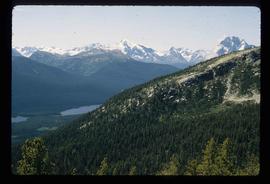
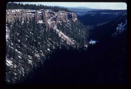
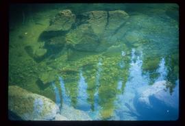
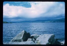
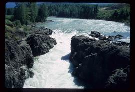
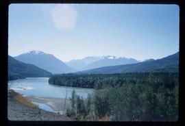
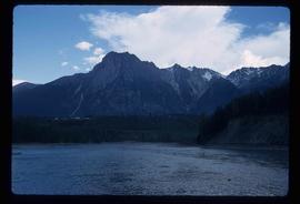
Image depicts an aerial view of South Tweedsmuir Provincial Park.
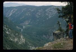
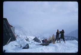
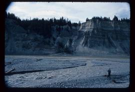
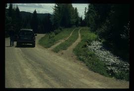
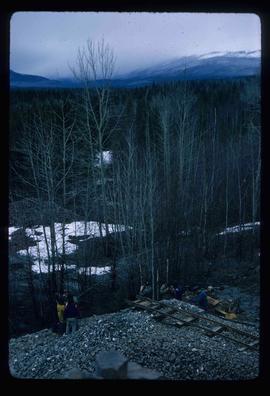
Image depicts a view of South Tweedsmuir Provincial Park. An unidentified man stands on the side of the image.
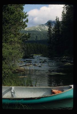
Image depicts a canoe on a river somewhere in South Tweedsmuir Provincial Park.
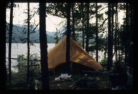
Image depicts a camp on the shore of a lake in South Tweedsmuir Provincial Park. The man sitting in the bottom right corner is possibly Kent Sedgwick.
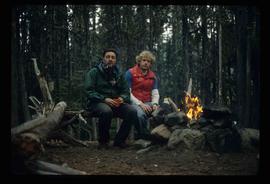
Image depicts Kent Sedgwick (the man with a pipe in green) and an unknown individual sitting around a campfire somewhere in South Tweedsmuir Provincial Park.
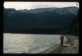
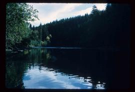
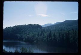
Image depicts a lake in South Tweedsmuir Provincial Park. An unknown individual is walking along the shore.
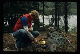
Image depicts an unidentified man lighting a fire somewhere in South Tweedsmuir Provincial Park.
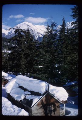
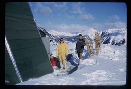
Image depicts a snow-covered cabin and a mountain in the distance. It is located somewhere near Birken, B.C.
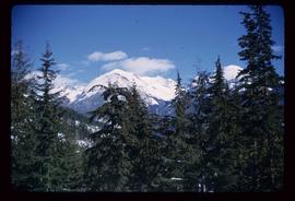
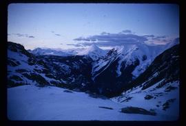
Image depicts a mountain in the distance. It is located somewhere near Birken, B.C.
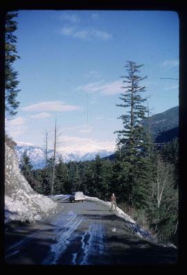
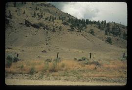
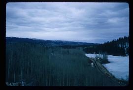
Image depicts a road located somewhere near Birken, B.C.
Image depicts the Place Glacier.
Image depicts the Place Glacier. There are two unknown individuals present.
Image depicts two unknown individuals at the Woolsey Glacier.
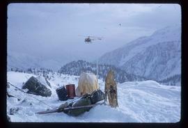
Image depicts a helicopter flying over the Woolsey Glacier.
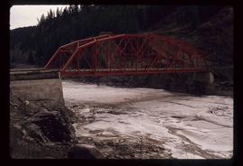
Image depicts the Fraser River from Highway 97 near Quesnel, B.C.
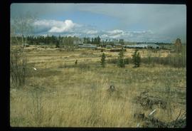
Image depicts a section of land from Highway 97 near Cache Creek, B.C.
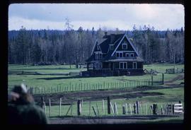
Image depicts the Watson Mansion at Mile 108 of Highway 97. It was built by Captain Geoffrey Watson in 1904, and was burned down by a chimney fire in 1983.
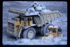
Image depicts an 80 tonne truck full of rocks at the Gibraltar mine site north of Williams Lake, B.C.
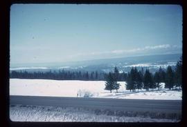
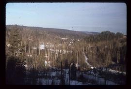
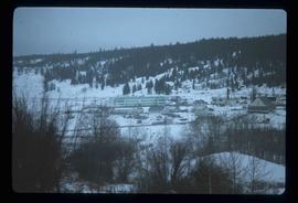
Image depicts a view of the scenery near Hixon, B.C.
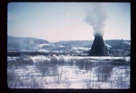
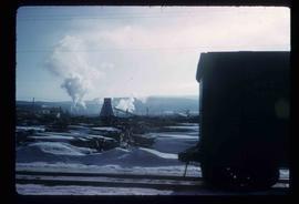
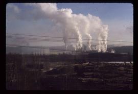
Image depicts a view of the Dunkley Lumber Mill in Strathnaver, B.C.
Image depicts the BCR, as well as the Dunkley Lumber Mill, in Strathnaver, B.C.
Image depicts a view of the scenery near Clinton, B.C.
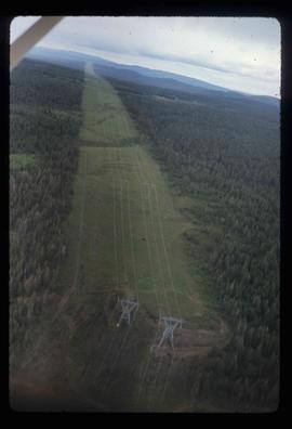
Image depicts an aerial view of a stretch of power lines somewhere near Williams Lake, B.C.
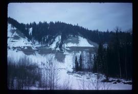
Image depicts the location of a slump type of landslide at Moose Heights, north of Quesnel, B.C.
Image depicts the cutbanks of the Fraser River at Soda Creek, B.C.
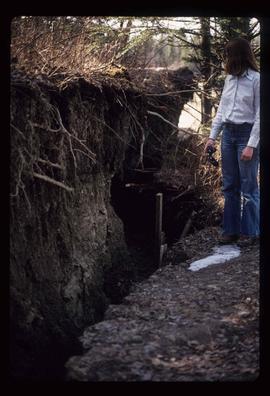
Image depicts an unknown individual standing next to what appears to be a fault at an unknown location.
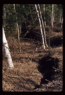
Image depicts what appears to be a fault at an unknown location.
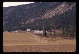
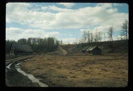
Image depicts a farm at an unknown location.
Image depicts a small foot bridge at an unknown location. The slide is simply labelled "Rudi's Bridge."
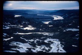
Image depicts the Fraser River, south of Soda Creek, B.C.
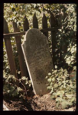
Image depicts the tombstone of T.J. Menefee in the cemetery in Soda Creek, B.C.
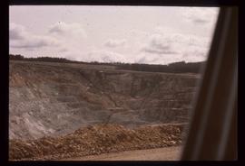
Image depicts an open mining pit at an uncertain location; it is possibly Gibraltar.
Image depicts a forest; the image is possibly taken from somewhere near the Cottonwood Rail Road Bridge.
Image depicts a sawmill somewhere in Quesnel, B.C.
Image depicts the St. Joseph's Mission in Williams Lake, B.C.
Image depicts 153 Mile House.
Image depicts a chasm full of trees at an unknown location.
Image depicts the Dunlevy Creek area somewhere near Dawson Creek, B.C. The slide is simply labelled "Dunlevy irrigation" for uncertain reasons.
Image depicts the old jail house in Soda Creek, B.C.
Image depicts what appears to be an old mill at an unknown location.
Image depicts a couple of salmon in the Stellako River.
Image depicts a view of Francois Lake.
Image depicts the Bulkley River near Moricetown, B.C.
Image depicts the Bulkley River.
Image depicts the Skeena River at Hazelton, B.C.
Image depicts Burns Lake, B.C.
Image depicts Burns Lake, B.C.
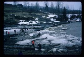
Image depicts numerous unknown individuals standing by the Bulkley River near Moricetown, B.C.
Image depicts a group of people at a mine somewhere near Hazelton, B.C.
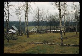
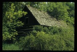
Image depicts a couple of old, collapsing buildings at the Nautley site in Fort Fraser, B.C.
