Series consists of photographs created or accumulated by the Aleza Lake Research Forest Society.
File consists of possible peer reviews of Ainley's book on "Creating complicated lives: women and science at English-Canadian universities, 1880-1980."
File consists of photocopied research materials and notes probably related to Ainley's research on transfer of knowledge from indigenous to westerners.
File consists of photocopied published research concerning aboriginal botany and women in science in Australia.
File consists of photocopied Australian newspapers regarding agriculture and waterways.
File consists of photocopy of publication "Paperback: A collection of Black Australian Writings" ed. Jack Davis et al. University of Queensland Press.
File consists of research materials concerning women enrolled in scientific disciplines at Canadian universities in the 1920s and 30s. Research is primarily concerned with the percentage of scholarships and other funding that was awarded to women. Some documents pertain to the work of Miss A. Tweedie in the Chemistry Department of the University of Manitoba. The research materials consist of annotated photocopies, handwritten notes, and 3 overhead transparencies.
File consists of photocopied archival materials on Margaret Benston concerning her salary at Simon Fraser University.
File consists of research materials and notes on women faculty at St. Mary's University.
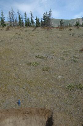
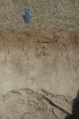
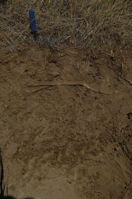
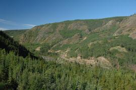
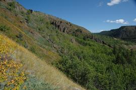
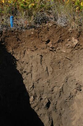
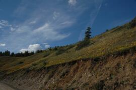
Series consists of the photographs taken and collected by Dr. Joselito Arocena. Arocena kept an extensive photographic slide collection for teaching, demonstration, research, and personal purposes. Included here from his slide collection is a large selection of images that feature his UNBC work and the Northern BC region. This series also contains digital photographs that Arocena created or collected.
File contains the following Annual Reports of the Aleza Lake Research Forest Society:
- 2003
- 2005
- 2006
- 2008
File consists of biographical records concerning Dorothy E. Smith.
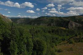
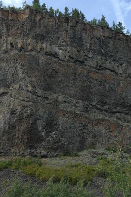
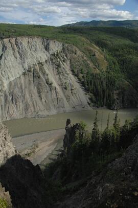
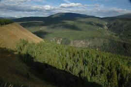
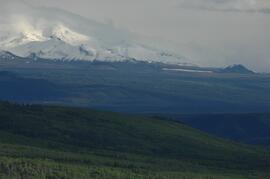
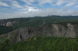
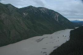
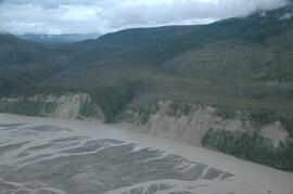
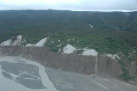
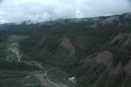
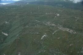
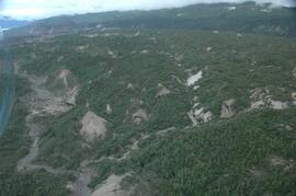
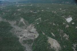
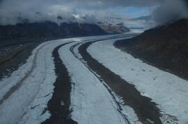
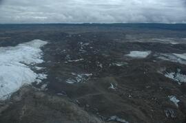
This image is part of the outbound sequence of aerial images obtained on the helicopter flight to the Klutlan Glacier study site. The sequence starts from the base camp at the White River crossing on the Alaska Highway and heads south, to a point just upvalley of the debris-covered terminus (approx. 10-15 km from Alaska border), and turning back north to the landing spot on the Generc River floodplain close to the study site (see Fig. 1 in paper).
This image is part of the outbound sequence of aerial images obtained on the helicopter flight to the Klutlan Glacier study site. The sequence starts from the base camp at the White River crossing on the Alaska Highway and heads south, to a point just upvalley of the debris-covered terminus (approx. 10-15 km from Alaska border), and turning back north to the landing spot on the Generc River floodplain close to the study site (see Fig. 1 in paper).
This image is part of the outbound sequence of aerial images obtained on the helicopter flight to the Klutlan Glacier study site. The sequence starts from the base camp at the White River crossing on the Alaska Highway and heads south, to a point just upvalley of the debris-covered terminus (approx. 10-15 km from Alaska border), and turning back north to the landing spot on the Generc River floodplain close to the study site (see Fig. 1 in paper).
This image is part of the outbound sequence of aerial images obtained on the helicopter flight to the Klutlan Glacier study site. The sequence starts from the base camp at the White River crossing on the Alaska Highway and heads south, to a point just upvalley of the debris-covered terminus (approx. 10-15 km from Alaska border), and turning back north to the landing spot on the Generc River floodplain close to the study site (see Fig. 1 in paper).
This image is part of the outbound sequence of aerial images obtained on the helicopter flight to the Klutlan Glacier study site. The sequence starts from the base camp at the White River crossing on the Alaska Highway and heads south, to a point just upvalley of the debris-covered terminus (approx. 10-15 km from Alaska border), and turning back north to the landing spot on the Generc River floodplain close to the study site (see Fig. 1 in paper).
This image is part of the outbound sequence of aerial images obtained on the helicopter flight to the Klutlan Glacier study site. The sequence starts from the base camp at the White River crossing on the Alaska Highway and heads south, to a point just upvalley of the debris-covered terminus (approx. 10-15 km from Alaska border), and turning back north to the landing spot on the Generc River floodplain close to the study site (see Fig. 1 in paper).
This image is part of the outbound sequence of aerial images obtained on the helicopter flight to the Klutlan Glacier study site. The sequence starts from the base camp at the White River crossing on the Alaska Highway and heads south, to a point just upvalley of the debris-covered terminus (approx. 10-15 km from Alaska border), and turning back north to the landing spot on the Generc River floodplain close to the study site (see Fig. 1 in paper).
This image is part of the outbound sequence of aerial images obtained on the helicopter flight to the Klutlan Glacier study site. The sequence starts from the base camp at the White River crossing on the Alaska Highway and heads south, to a point just upvalley of the debris-covered terminus (approx. 10-15 km from Alaska border), and turning back north to the landing spot on the Generc River floodplain close to the study site (see Fig. 1 in paper).
This image is part of the outbound sequence of aerial images obtained on the helicopter flight to the Klutlan Glacier study site. The sequence starts from the base camp at the White River crossing on the Alaska Highway and heads south, to a point just upvalley of the debris-covered terminus (approx. 10-15 km from Alaska border), and turning back north to the landing spot on the Generc River floodplain close to the study site (see Fig. 1 in paper).
