Plan depicts the CNR rail yard in Kamloops. The plan was originally drafted on March 6, 1928 and updated to July 1937.
Plan depicts the location of buildings occupied by the Northern Construction Company on the old Kamloops Station ground.
Architectural plan depicts a proposed standard 10 stall engine house with annex for machine shop and boiler room to be erected at Kamloops, BC.
Architectural block plan depicts a proposed addition to the CNR roundhouse in Kamloops.
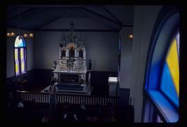
Image depicts the altar inside the St. Joseph's Roman Catholic Church in Kamloops, B.C.
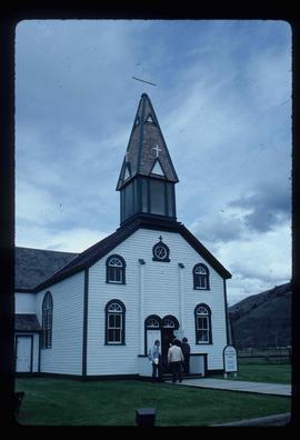
Image depicts the St. Joseph's Roman Catholic Church, in Kamloops, B.C.
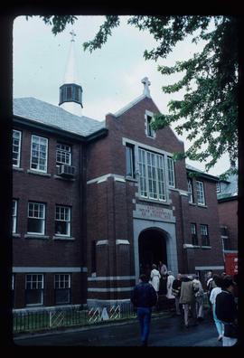
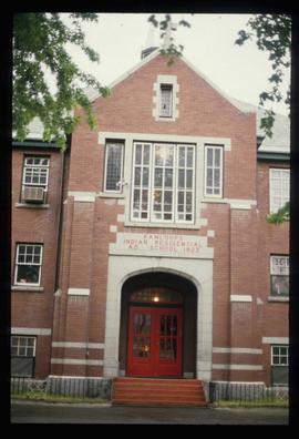
Image depicts the old Kamloops Residential School which operated until either 1977 or 1978 before becoming part of the Secwepemc Musem in 1982.
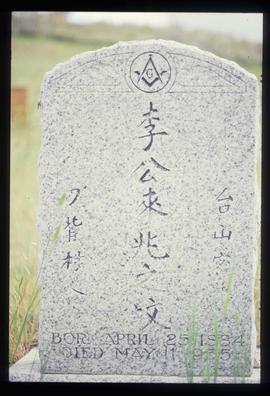
Image depicts a tombstone, with the name and inscription written in what appears to be Chinese. It is most likely located somewhere in or near Kamloops, B.C.
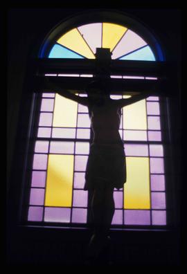
Image depicts a representation of the crucified Christ in the St. Joseph's Roman Catholic Church in Kamloops, B.C.
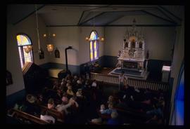
Image depicts a large crowd of people seated inside the St. Joseph's Roman Catholic Church in Kamloops, B.C.
Image depicts the old Kamloops Residential School which operated until either 1977 or 1978 before becoming part of the Secwepemc Musem in 1982.
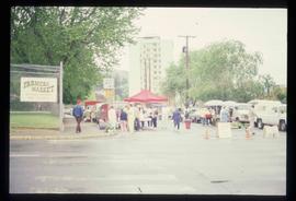
Image depicts a street, possibly in Kamloops, which has been closed for a Sunday morning Farmer's Market.
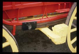
Image depicts a close-up of the carriage step. It is possibly located in Kamloops, B.C.
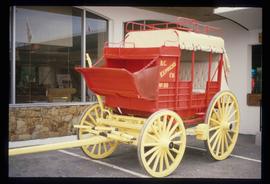
Image depicts a red carriage labelled in yellow "B.C. Express Co. No. 20." It is possibly located in Kamloops, B.C.
File contains slides depicting places in and around the Kamloops and Lillooet regions.
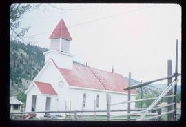
Image depicts a church in Deadman Creek, west of Kamloops, B.C.
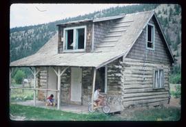
Image depicts two children in front of an old log building on the Deadman Creek reserve, located west of Kamloops, B.C.
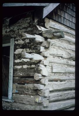
Image depicts the corner of an old log building in Deadman Creek, near Kamloops, B.C.
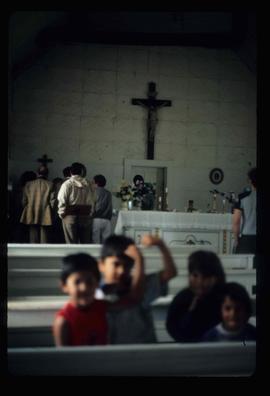
Image depicts several children and numerous adults inside a church in Deadman Creek, near Kamloops, B.C.
File contains slides depicting buildings and places in and around Ashcroft, Kamloops, and Hat Creek, B.C.
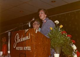
Photograph depicts Iona Campagnolo speaking at the Kamloops Liberal Convention at the Stockmen's Hotel.
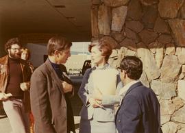
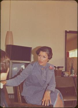
Photograph depicts Iona Campagnolo talking to men possibly at the Kamloops Liberal Convention at the Stockmen's Hotel.
Map depicts British Columbia in its entirety as-well as smaller subsequent maps of Vancouver, Victoria and Vicinity, Prince George, Kamloops, Nelson, and Vancouver Island.
Map depicts the proposed electoral districts of British Columbia, including: Burnaby, Capilano, Cariboo-Chilcotin, Comox-Powell River, Cowichan-Malahat-The Islands, Esquimalt-Saanich, Fort Nelson-Peace River, Fraser Valley East, Fraser Valley West, Kamloops-Shuswap, Kootenay East, Kootenay West, Mission-Port Moody, Nanaimo-Alberni, New Westminster-Coquitlam, North Vancouver-Burnaby, Okanagan North, Okanagan-Similkameen, Prince George-Bulkley Valley, Richmond-South Delta, Skeena, Surrey-White Rock-North Delta, Vancouver Centre, Vancouver East, Vancouver Kingsway, Vancouver Quadra, Vancouver South, and Victoria.
Handwritten annotation on verso reads: “Kamloops--Liberal Convention, Big Speech, Big Response”.
Photographs from Cassiar trip report to Kal Tire Retread Plant at Kamloops, British Columbia. These photographs are of tires that are in the process of being retreaded.
