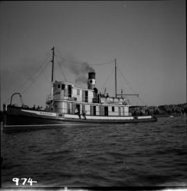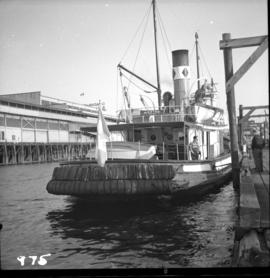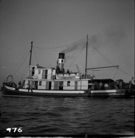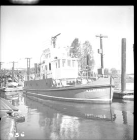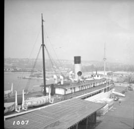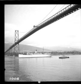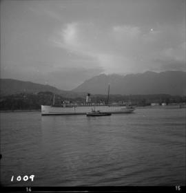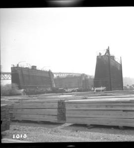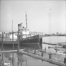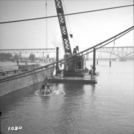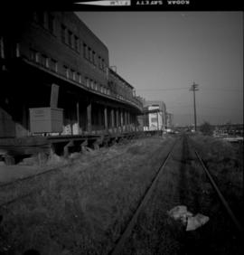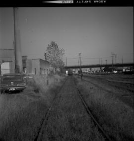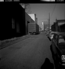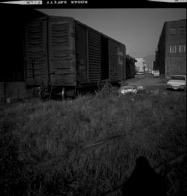
2013.6.36.1.013.58
·
Stuk
·
[June 1965]
Part of David Davies Railway Collection
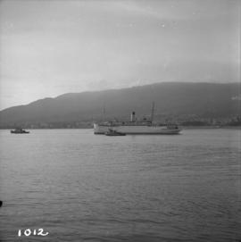
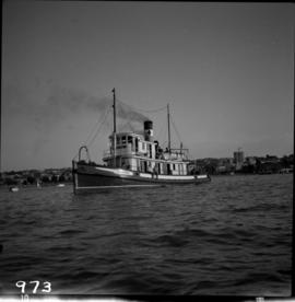
Photograph depicts the steam tug "Master" in English Bay, Vancouver during the maritime festival.