Showing 849 results
Archival description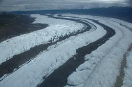
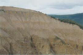
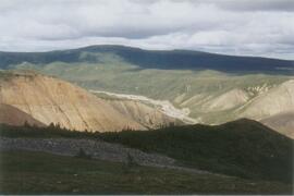
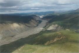
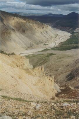
Klutlan Glacier ~20 km above terminus, facing downvalley
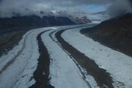
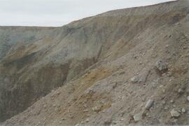
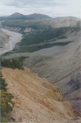
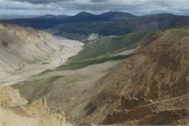
Klutlan Glacier ~20 km above terminus, facing upvalley
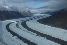
Klutlan Glacier ~20 km above terminus, facing upvalley
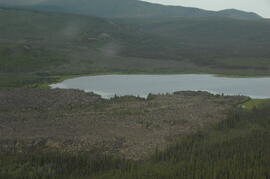
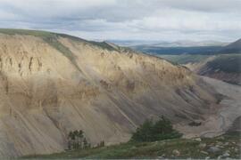
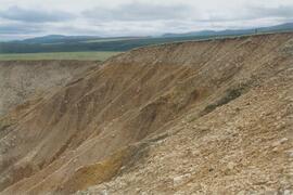
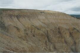
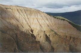
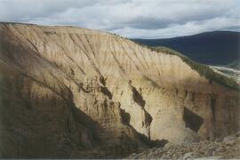
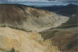
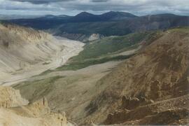
Leech Lake, south of Volcano Mountain
Little Bear River (1)
Little Bear River (10)
Little Bear River (11)
Little Bear River (12)
Little Bear River (13)
Little Bear River (14)
Little Bear River (15)
Little Bear River (15)

Little Bear River (16)
Little Bear River (17)
Little Bear River (2)
Little Bear River (3)
Little Bear River (4)
Little Bear River (5)
Little Bear River (6)
Little Bear River (7)
Little Bear River (8)
Little Bear River (9)
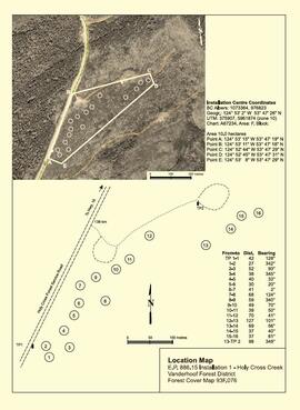
"Location Map - E.P. 886.15 Installation 1 - Holy Cross Creek"

"Location Map - E.P. 886.15 Installation 2 - Kenneth Creek"
Long-Term Soil Productivity Study (Experimental Project 1148)
Long-Term Soil Productivity Study (Experimental Project 1148)

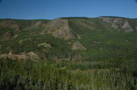
Lower Sheep Creek canyon

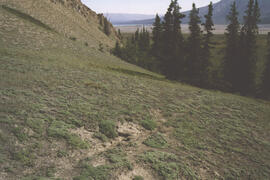
Lower Slims heavy sheep use area

Lower Slims heavy sheep use area (detail)
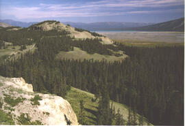
Lower Slims panorama
Lower Slims panorama

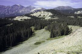
Lower Slims unburned grassland
Lower Slims unburned grassland

Lower Slims unburned grassland (detail)
Lower Tuya River, ~5 km above the Stikine River confluence
Lower Tuya River, ~5 km above the Stikine River confluence
Lower Tuya River, facing downstream from bridge on Telegraph Creek Road

Lower Tuya River, facing downstream ~5 km above the Stikine River confluence
Lower Tuya River, facing upstream from bridge on Telegraph Creek Road
Lower Tuya River, facing upstream ~5 km above the Stikine River confluence
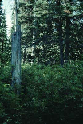
Lucille Mountain site view
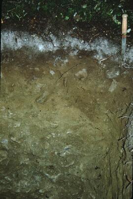
Lucille Mountain soil profile view
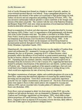
"Lucille Mountain soils"
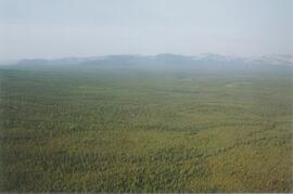
Mackenzie Mountains and Mackenzie Valley, NWT field work
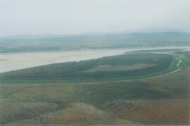
Mackenzie River
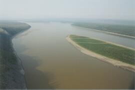
Mackenzie River south of Tulita
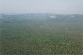
Mackenzie Valley - Franklin Mountains (1)
Mackenzie Valley - Franklin Mountains (2)
Mackenzie Valley - Franklin Mountains (3)
Mackenzie Valley - Franklin Mountains (4)
Mackenzie Valley - Franklin Mountains (5)
Mackenzie Valley - Franklin Mountains (6)