Mostrando 849 resultados
Archival description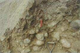
Site N04-02 (6)
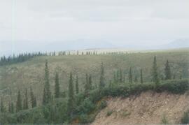
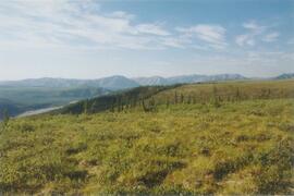
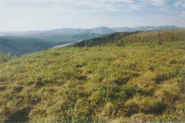
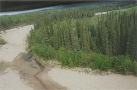
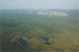
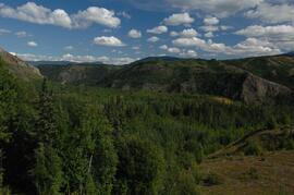
Inlin Brook panorama (5)
Tulita-Inlin Brook flight, 8 August 2004
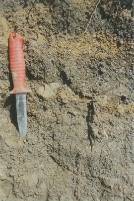
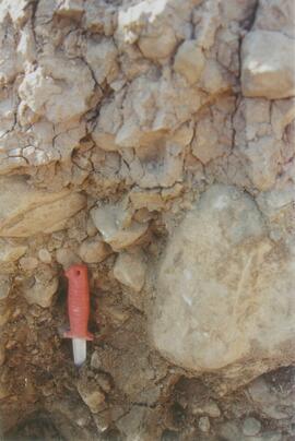
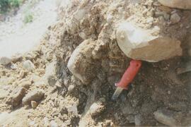
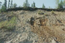
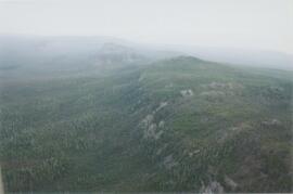
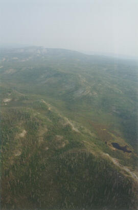
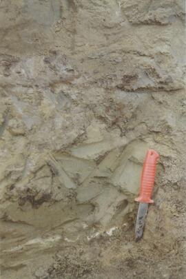
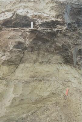
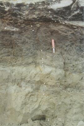
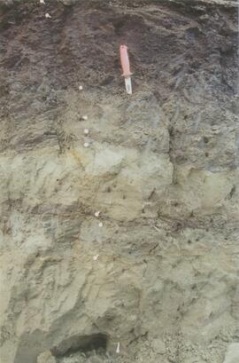
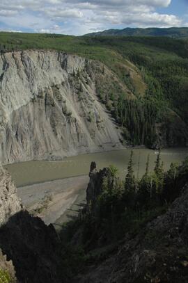
Inlin Brook - top of section (1)
Inlin Brook - top of section (3)
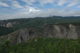
Inlin Brook - top of section (6)
Site N04-03 (6)
Site N04-04 (2)
Site N04-04 (3)
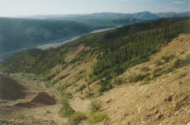
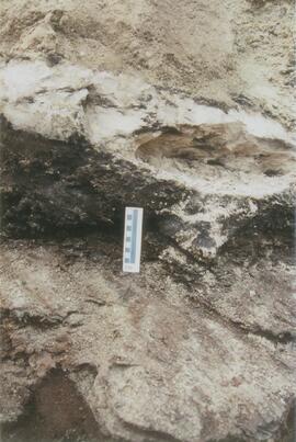
Red Ochre River (8)
Site N04-05 Red Ochre River (1)
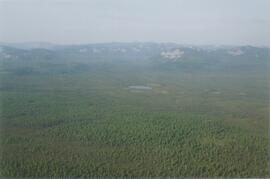
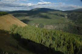
Mackenzie Valley - Franklin Mountains (2)
Mackenzie Valley - Franklin Mountains (5)
Norman Range (1)
Norman Range (5)
Site N04-06 (3)
Site N04-06 (3)
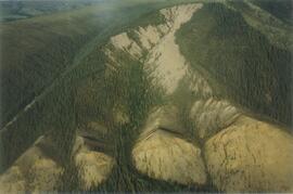
Scablands near Brackett Lake (2)
Scablands near Brackett Lake (2)
Scablands near Brackett Lake (5)
Scablands near Brackett Lake (5)
Scablands near Brackett Lake (6)
Scablands near Brackett Lake (6)
Scablands near Brackett Lake (7)
Scablands near Brackett Lake (7)
Photographs from Lost Chicken Mine
Photographs from Lost Chicken Mine
Site Y04-18 at Lost Chicken Mine (6)
New tephra at Site Y04-18 at Lost Chicken Mine (8)
Site Y04-18 at Lost Chicken Mine (9)
Site Y04-18 at Lost Chicken Mine (10)
Site Y04-18 at Lost Chicken Mine (12)
Kluane Lake 2004 photographs - slide roll 6
Kluane Lake 2004 photographs - slide roll 6
Kluane Lake 2004 photographs - slide roll 7
Kluane Lake 2004 photographs - slide roll 7
Proceedings and abstracts for conferences and workshops
Proceedings and abstracts for conferences and workshops
Cluculz retrospective study (E.P. 886.10)
Cluculz retrospective study (E.P. 886.10)
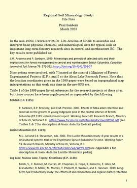
Regional soil mineralogy study
Data from Arocena & Sanborn 1999 regional soil mineralogy study
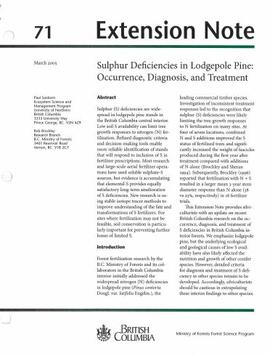
Extension Note 71: "Sulphur deficiencies in lodgepole pine: occurrence, diagnosis, and treatment"
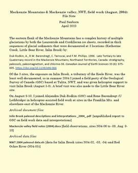
Mackenzie Mountains and Mackenzie Valley, NWT field work
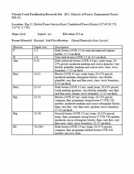
Cluculz Creek Fertilization Research Site
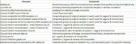
Data for Cluculz retrospective study (E.P. 886.10)
"Sulphur Fertilization of Lodgepole Pine: A Stable Isotope Tracer Study (Ministry of Forests E.P. 886.15) - Project Y051210 - Technical Report to the Forest Science Program"
Descriptions and Properties of Riparian Paleosols, Gold Bottom, Yukon Territory

"Paleosol Studies at Inlin Brook, NWT: August, 2004 - Report to the Geological Survey of Canada"

Paleosols at the Goldbottom site, Klondike goldfields

Lower Tuya River, facing downstream ~5 km above the Stikine River confluence
Untitled

Basalt flows, north side of Stikine River along Telegraph Creek Road
Untitled
Stikine River, facing upstream ~8 km northeast of the Tuya River confluence
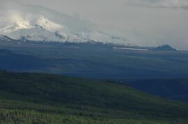
View west to Mt Edziza
Tuya River, facing downstream ~10 km above the Stikine River confluence

Forest-grassland mosaic, southeast side of Kluane Lake (north of Christmas Bay)

Forest-grassland mosaic, southeast side of Kluane Lake (north of Christmas Bay)
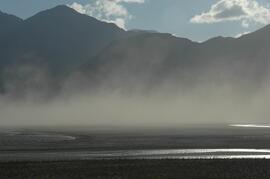
Dust storm over Slims River, upstream of Alaska Highway