Affichage de 849 résultats
Archival description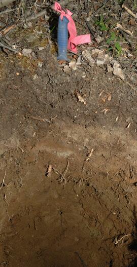
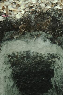
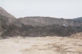
Y09-27-10 profile
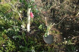
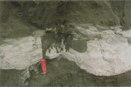
Y09-28-04 G30 surface
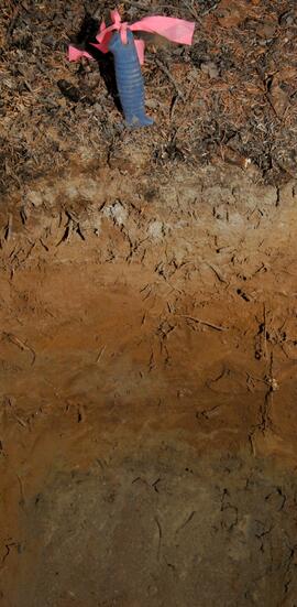
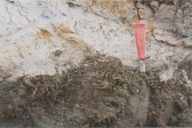
Y09-28-06 profile
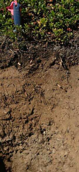
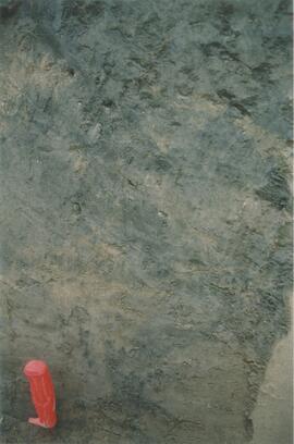
Y09-28-08 profile
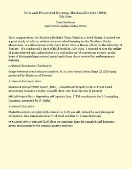
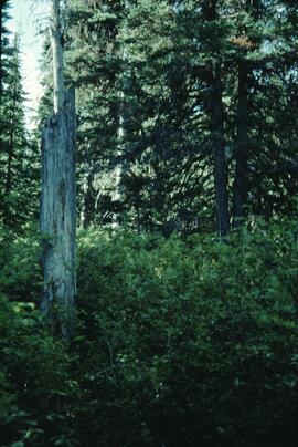
Soils and prescribed burning, Muskwa-Kechika
Muskwa-Kechika project digital images
Muskwa-Kechika project digital images
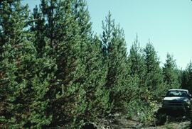
Experimental Project (EP) 660
Experimental Project (EP) 660

Forest Research Note #PG-12: "Experimental Project 660 - Overview of Three Experimental Installations - A 30-year Progress Report"
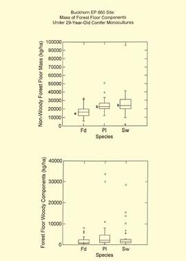
EP 660 Buckhorn 1997 forest floor graphs
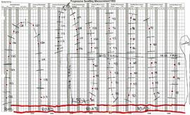
Experimental Project (EP) 660 slides
Experimental Project (EP) 660 slides
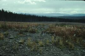
Archie Creek site location map
Archie Creek site location map
"Some long term effects of scarification on soil properties and site productivity"
"Some long term effects of scarification on soil properties and site productivity"
Archie Creek plot layout sketch map
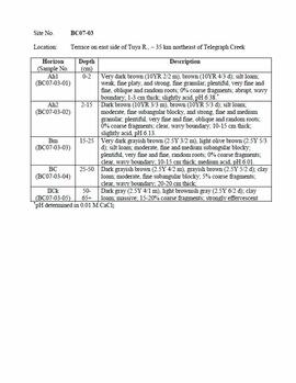
Tuya-Stikine 2007 soil descriptions
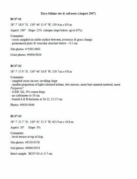
Tuya-Stikine site & soil notes
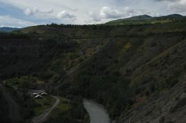
Tahltan River from Telegraph Creek Road, near Stikine River confluence
Tahltan River from Telegraph Creek Road, near Stikine River confluence
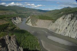
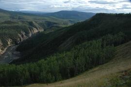
Stikine River, facing upstream ~8 km northeast of Telegraph Creek
Stikine River, facing upstream ~8 km northeast of Telegraph Creek

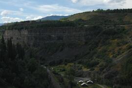
Buildings in Telegraph Creek
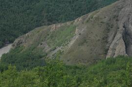
Stikine River, facing upstream ~8 km northeast of the Tuya River confluence
Stikine River, facing downstream ~8 km northeast of the Tuya River confluence
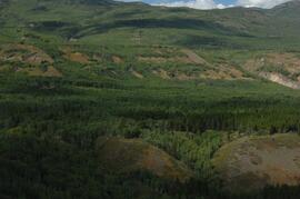
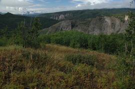
Tuya River, facing downstream ~10 km above the Stikine River confluence
Tuya River, aspen patches ~10 km above the Stikine River confluence
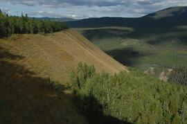
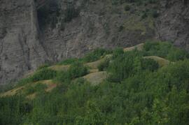
Tuya River, grasslands ~10 km above the Stikine River confluence
Tuya River, Artemisia in south facing grasslands
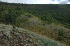
Grasslands on north side of Cultus Creek
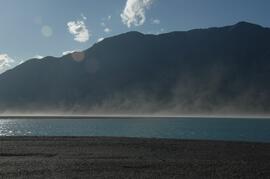
Dust storm over Slims River delta
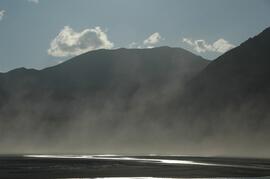
Dust storm over Slims River, upstream of Alaska Highway
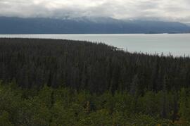
Beetle-killed spruce forest, southeast side of Kluane Lake
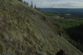
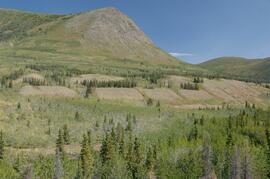
South facing grasslands, ~1 km on Mt Nansen Road
Research reference material
Research reference material
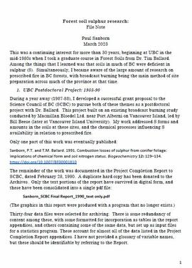
Forest soil sulphur research
Cluculz retrospective study (E.P. 886.10)
Cluculz retrospective study (E.P. 886.10)
Data for Sulphur stable isotope tracer study (E.P. 886.15)
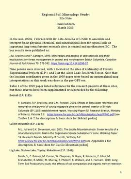
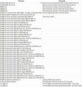
Regional soil mineralogy study
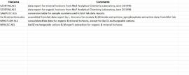
Data from Arocena & Sanborn 1999 regional soil mineralogy study
Lucille Mountain site view
Topley site view
Kiskatinaw soil profile view
Bowron site view
Gold Bottom south wall (2)
Site Y04-02 detail (2)
Site Y04-03 (2)
Site Y04-04 detail (3)
Site Y04-04 detail (5)
Grant Zazula at Goldbottom (1)
Grant Zazula at Goldbottom (1)
Gold Bottom transect - north aspect lower slope (1)
Gold Bottom transect - north aspect lower slope (3)
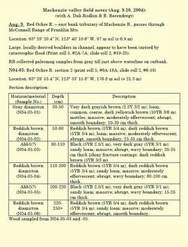
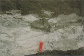
"Mackenzie valley field notes (Aug. 9-10, 2004)"