Showing 477 results
Archival description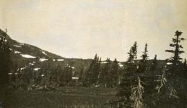
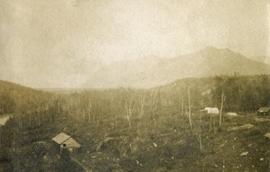
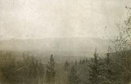
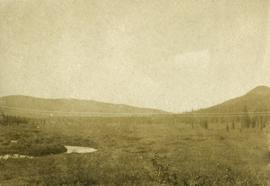
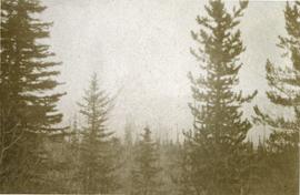
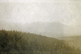
Views from Kitseucla summit
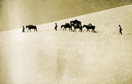
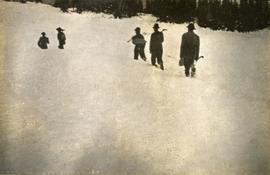
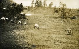
Crossing Kitseucla summit at 6800 feet elevation
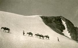
Crossing Kitseucla summit at 6800 feet elevation
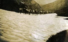
Crossing Kitseucla summit at 6800 feet elevation
Breaking trail
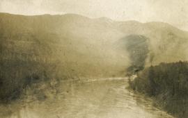
Looking down the Skeena River valley from Skeena Crossing
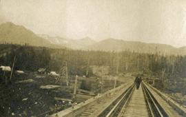
Looking down the Skeena River valley from Skeena Crossing
Looking down the Skeena River valley from Skeena Crossing
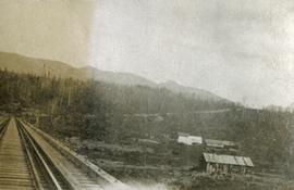
Views from Skeena Crossing
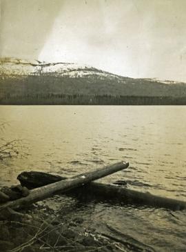
Babine Lake
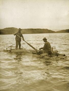
Crossing Babine Lake
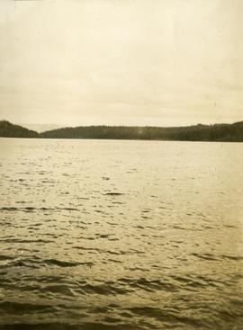
Views from crossing Babine Lake
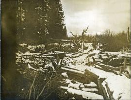
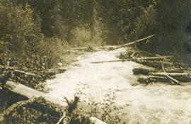
Bridge across log jam built by survey party
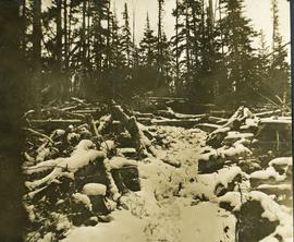
Bridge across log jam built by survey party
Packed horses navigating the bridge across the log jam
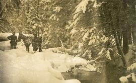
Nearly snowed in
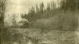
Grand Trunk Pacific track laying machine near John Brown Creek
55th parallel near Bulkley River, BC
55th parallel near Bulkley River, BC
55th parallel near Bulkley River, BC
Bulkley River, BC
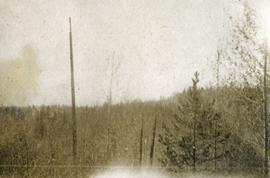
John Brown Creek
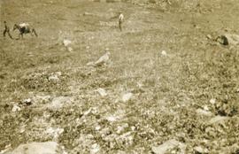
Ptarmigan
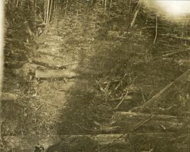
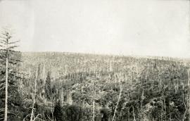
Trail through windfall
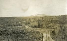
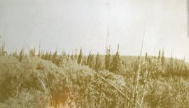
Basin east of Kitseucla summit
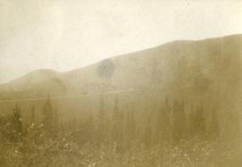
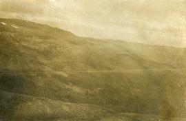
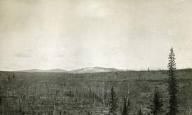
Looking east from Babine range
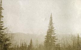
Looking east from Babine range
Looking east from Babine range
Looking east from Babine range
Looking up Government Creek, Cariboo mountains in the background
Looking up Government Creek, Cariboo mountains in the background
East of Woodpecker Island
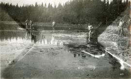
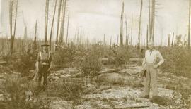
A bathing party, Cariboo 1914
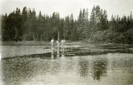
A bathing party, Cariboo 1914
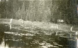
A bathing party, Cariboo 1914
Settler's home on the Pacific Great Eastern Railway
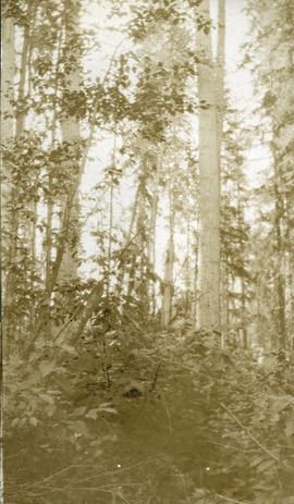
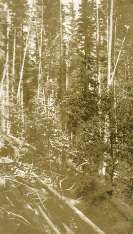
Timber growth in river bottom
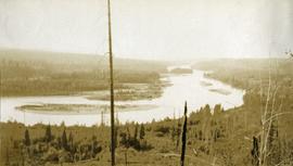
Woodpecker Island Fraser River
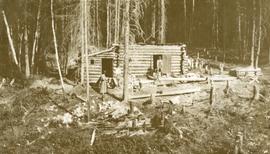
Settler's cabin on Fraser River opposite Stone Creek
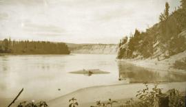
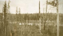
Looking north on Fraser River from Stone Creek
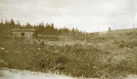
Settler's cabin on Pacific Great Eastern Railway
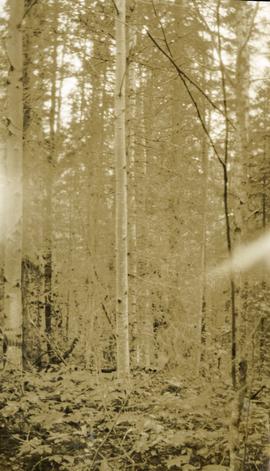
Timber growth in river bottom
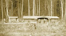
Camp near Woodpecker Island
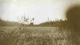
Muskeg meadow
Timber growth east of Fort George Canyon
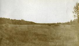
Muskeg meadow
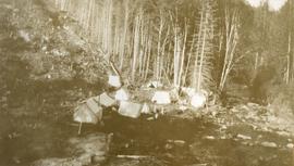
Camp on Stone Creek by Pacific Great Eastern right of way
Bottom land near Woodpecker Island
Bottom land near Woodpecker Island
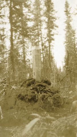
Surveyor's post