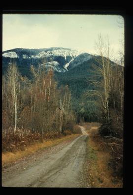
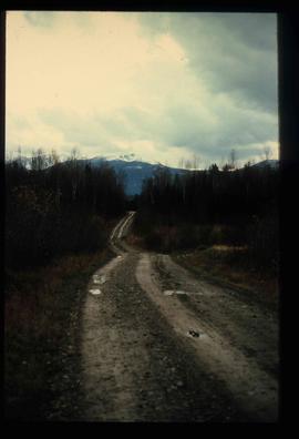
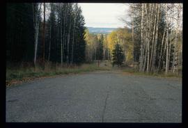
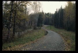
Image depicts a dirt road leading through numerous trees toward a mountain. The location is uncertain, likely on the way to Longworth, B.C.
Image depicts a dirt road leading through numerous trees toward a mountain. The location is uncertain, likely on the way to Longworth, B.C.
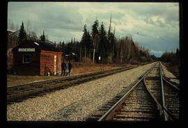
Image depicts two unidentified individuals standing next to the train station, and two railway tracks running through Longworth, B.C.
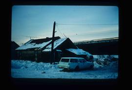
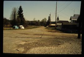
Image depicts and old house and vehicle in Upper Fraser, B.C. Map coordinates 54°07'05.7"N 121°56'38.9"W
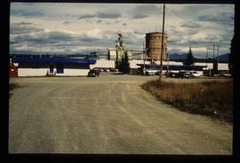
Image depicts the entrance to the Upper Fraser mill yard in Upper Fraser, B.C. Map coordinates 54°07'10.8"N 121°56'51.7"W
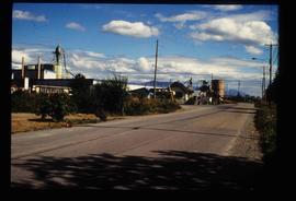
Image depicts the Upper Fraser Road running through Upper Fraser, B.C. A newer style round burner is seen in the background. Map coordinates 54°07'05.7"N 121°56'38.9"W
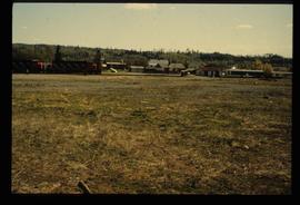
Image depicts the Giscome B.C. townsite from across the railroad tracks looking southeast. Map coordinates 54°04'19.7"N 122°22'04.7"W
Image depicts a road near the Ginter House in Prince George, B.C.
Image depicts a road near the Ginter House in Prince George, B.C.
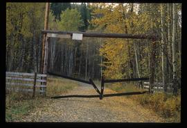
Image depicts a private driveway, most likely leading to the Ginter Property in Prince George, B.C.
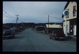
Image depicts numerous old buildings on a main street in Atlin, B.C.
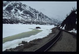
Image depicts two merging railway tracks, and what appears to be a frozen river, somewhere near the summit of a mountain.
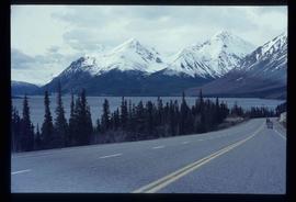
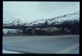
Image depicts the road to Skagway, Alaska. Possibly located on the Klondike Highway in British Columbia with Tutshi Lake on the left.
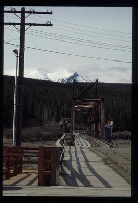
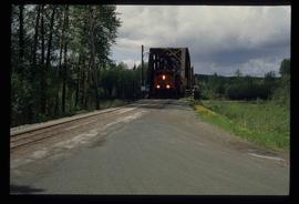
Image depicts a railway bridge, possibly in the small town of Fraser, located on the Klondike Highway in B.C.
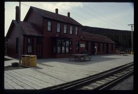
Image depicts the train station in Carcross, Y.T.
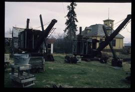
Image depicts old machinery, at the Atlin Museum in Atlin, B.C.
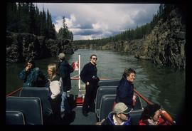
Image depicts several unidentified individuals on a boat in the Miles Canyon near Whitehorse Y.T.
File contains slides depicting locations along the White Pass railway through Alaska, British Columbia, and the Yukon Territories.
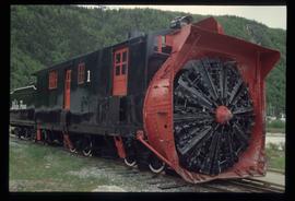
Image depicts the restored White Pass Snow Plow No.1 in Skagway, Alaska.
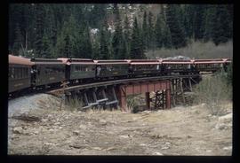
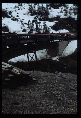
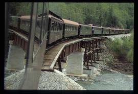
Image depicts the White Pass Train crossing over a railway bridge at an uncertain location.
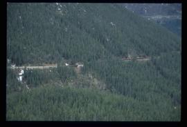
Image depicts another train on the White Pass railway along a forested mountain side.
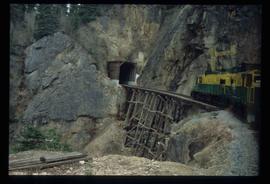
Image depicts the White Pass Train entering a tunnel in the mountain side.
Image depicts the White Pass Train crossing over a railway bridge at an uncertain location in the mountains.
File contains slides depicting Highway 16 West, from Isle Pierre to Hazelton.
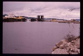
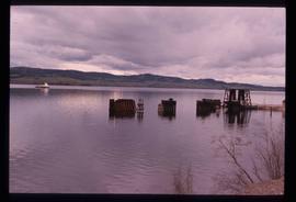
Image depicts a boat on the Nechako Reservoir at Kenny Dam.
Image depicts a boat dock on the Nechako Reservoir at Kenny Dam.
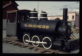
Image depicts the Duchess engine, which was built in 1878 and taken out of service in 1919. It was part of a matched set with the Duke and is now a tourist attraction in Carcross, Y.T.
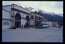
Image depicts the bus depot in Skagway, Alaska (USA).
Image depicts a boat named "the Tarahne," which is located in Atlin, B.C. Atlin Lake and Mountain are visible in the background.
Image depicts a boat named "the Tarahne," which is located in Atlin, B.C. Atlin Lake and Mountain are visible in the background.
Image depicts an old boat on the shore of Atlin Lake.
Image depicts a small section of the Alaska Highway somewhere near Whitehorse, Y.T. The slide also appears to be labelled "army washing" for unknown reasons.
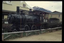
Image depicts the original steam engine for the White Pass Train, located in Skagway, Alaska.
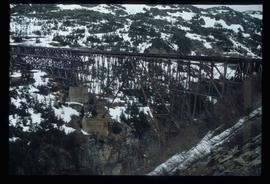
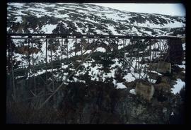
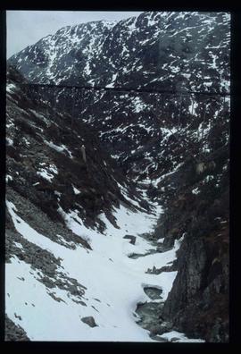
Image depicts an old trestle along the White Pass railway.
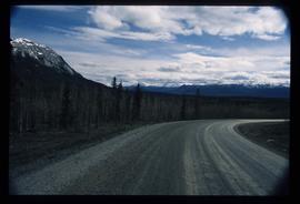
Image depicts what is possibly Atlin Road. Numerous mountains are visible in the distance.
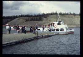
Image depicts numerous unidentified individuals getting off a boat which bears the name "Schwatka." It is located somewhere in Miles Canyon.
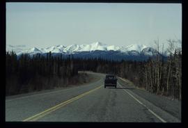
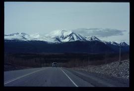
Image depicts a van on a highway with mountains in the distance; the location is uncertain, though it is possibly along the Alaska Highway.
Image depicts a van on a highway with mountains in the distance; the location is uncertain, though it is possibly along the Alaska Highway.
Image depicts the White Pass Train crossing over a railway bridge at an uncertain location.
Image depicts an old trestle along the White Pass railway.
Image depicts an old trestle along the White Pass railway.
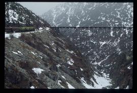
Image depicts an old trestle along the White Pass railway, and the White pass Train on the left of the image.
Image depicts a train on the Hansard Bridge across the Fraser River looking west. Map coordinates 54°04'37.7"N 121°50'39.9"W
Image depicts the small town of Fraser, B.C. Located on the Klondike Highway.
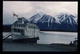
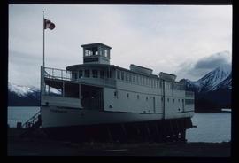
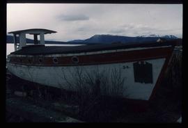
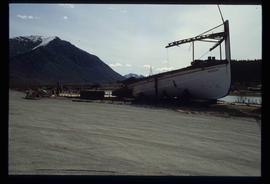
Image depicts half of a ship, which is named the Tutshi, in Carcross, Y.T.
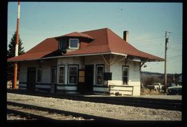
Image depicts the old CN station in Giscome, B.C. Map coordinates 54°04'20.7"N 122°22'01.1"W
Image depicts the Fraser River at Paddlewheel park, with a train on the other side of the river, in Prince George B.C.
Image depicts Ash Street and Patricia Boulevard in Prince George, B.C.
File contains slides depicting places along the east line of the BC Railway. Some are duplicates of the images found in the "East Line, Dome Creek - Lamming Mills - Misc" file.
Image depicts a street in Giscome. The store was previously located on the left. The church is in the background. Map coordinates 54°04'18.5"N 122°21'57.7"W
