File contains slides depicting the remains of the old Miworth Ferry in Miworth, B.C.
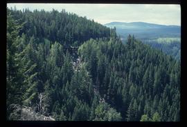
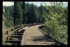
Image depicts a view of Kettle Valley, with a bridge of the old Kettle Valley Rail Road visible on a slope.
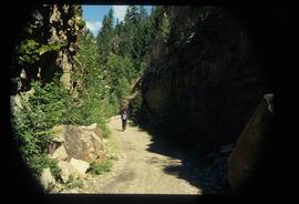
Image depicts a woman walking along a trail somewhere in Kettle Valley, B.C.
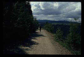
Image depicts a woman walking along the trail of the Kettle Valley Rail Road.
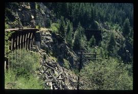
Image depicts the trail of the old Kettle Valley Rail Road.
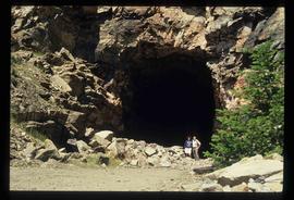
Image depicts a man and woman standing in the mouth of a tunnel from the old Kettle Valley Rail Road.
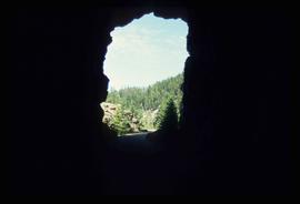
Image depicts the mouth of a tunnel from the Kettle Valley Rail Road.
Image depicts a man standing on the old Kettle Valley Rail Road.
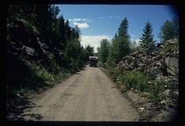
Image depicts a van on a narrow road, likely the Kettle Valley Trail.
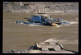
Image depicts a ferry on a river, possibly the Fraser River in the Lillooet area.
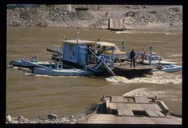
Image depicts a ferry on a river, possibly the Fraser River in the Lillooet area.
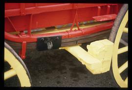
Image depicts a close-up of the carriage step. It is possibly located in Kamloops, B.C.
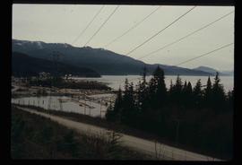
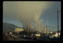
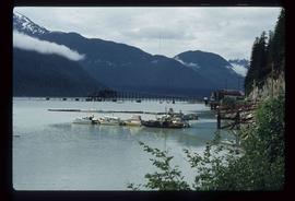
Image depicts a harbour in Kitimat, B.C.
Image depicts two men in the cabin of a boat somewhere near Kitimat, B.C.
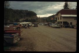
Image depicts numerous vehicles and individuals outside a hotel in Likely, B.C.
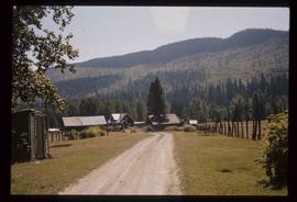
Image depicts the townsite of Keithley Creek, B.C.
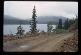
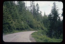
Image depicts the road to Manson Creek, B.C.
Image depicts the road to Manson Creek, B.C.
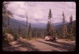
Image depicts a red vehicle parked on the side of the road with a view of the McGregor Valley behind it. The slide is labelled "dam site."
Image depicts a view of Giscome with a train passing through.
File consists of notes, clippings, and reproductions relating to the arrival of the railway in Fort George. Includes material on railway development and building of the railway in Fort George.
File consists of notes, clippings, and reproductions relating to highway transportation in and around the Prince George area. Includes material regarding the Old Cariboo Highway; the Yellowhead Highway east; and Highway 97 north. Includes: "RE: Proposed Bridge at Isle Pierre" typescript letter from Kent Sedgwick to Ken Pedergast, District Manager (4 Oct. 1991) and "Year 2000 Calendar Bridges of BC" calendar for the year 2000 produced by Argentis (2000).
File consists of notes, clippings, and reproductions relating to sternwheelers. Includes material regarding Pacific Great Eastern sternwheelers on the Fraser River; the B.X. sternwheeler; Trelle Morrow's book "Sternwheelers on the Upper Fraser" published in 2009; and sternwheeler travel on the Fraser River. Includes: "The Pirates of South Fort George" clipped article from Today's Consumer magazine (April 1989).
File consists of notes and reproductions relating to the land surveys conducted between 1871 and 1876 to find a route across British Columbia for the Canadian Pacific Railway. File contains material regarding surveyor Charles Horetzky; surveyor Sir Sandford Fleming; surveyor Joseph Hunter and the Pine Pass; and the proposed routes for the Canadian Pacific Railway in British Columbia.
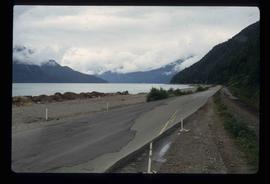
Image depicts a road leading to Prince Rupert, B.C.
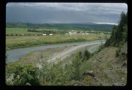
Image depicts the Skeena River, as well as a stretch of highway that appears to be under construction.
File contains slides depicting places in and around Prince Rupert, B.C.
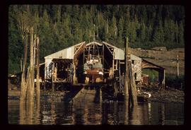
Image depicts a boat docked inside what appears to be a type of boathouse, possibly located in Metlakatla near Prince Rupert, B.C.
Image depicts a large building with numerous vehicles in the foreground.
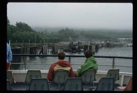
Image depicts several individuals seated on a ferry as it possibly departs from a dock somewhere in Prince Rupert, B.C. It is most likely headed for Haida Gwaii, B.C.
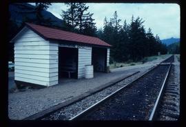
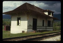
Image depicts the train station in Seton Portage, B.C.
Image depicts Stewart Harbour in Stewart, B.C.
Image depicts an old road through the trees near Yellowhead Pass. The slide labels it as the origin of the Yellowhead highway.
File contains slides depicting places along the east line of the BC Railway.
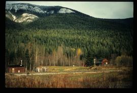
Image depicts the railway running near Crescent Spur in the Rocky Mountain Trench.
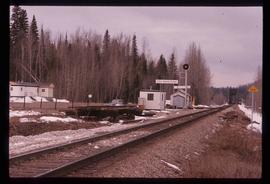
Image depicts the CN Railway and Station at Goat River, B.C.
Image depicts the CN Station in Dome Creek, B.C.
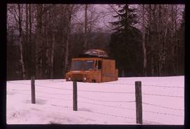
Image depicts a strangely shaped orange vehicle somewhere in Dome Creek, B.C.
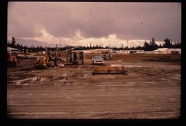
Image depicts several eighteen wheelers at the Pass Lake Road and Upper Fraser Road intersection with numerous houses and buildings in the background in McGregor, B.C. Map coordinates 54°04'38.1"N 121°50'00.1"W
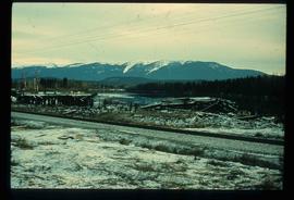
Image depicts a pile of old logs on the bank of the Fraser River with mountains in the background. In the foreground, a set of railway tracks run through an uncertain location, likely Upper Fraser, B.C.
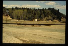
Image depicts several old shacks and some railway tracks running through Longworth, B.C.
Image depicts the entrance to the Upper Fraser mill yard in Upper Fraser, B.C. Map coordinates 54°07'10.8"N 121°56'51.7"W
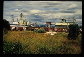
Image depicts the Upper Fraser mill yard with a CN train in Upper Fraser, B.C. Map coordinates 54°07'10.8"N 121°56'51.7"W
Image depicts the Giscome railway station and buildings remaining in townsite in Giscome, B.C. Map coordinates 54°04'18.0"N 122°22'04.7"W
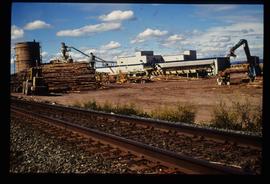
Image depicts the Giscome mill site in Giscome, B.C. The railroad tracks are in the foreground. Map coordinates 54°04'17.6"N 122°22'06.1"W
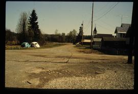
Image depicts a street in Giscome. The store was previously located on the left. The church is in the background. Map coordinates 54°04'18.5"N 122°21'57.7"W
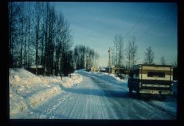
Image depicts a snow-covered road at an uncertain location.
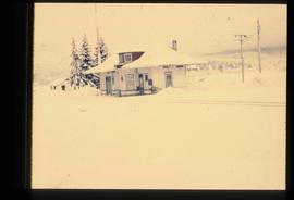
Image depicts the old CN station in Giscome, B.C. Map coordinates 54°04'20.7"N 122°22'01.1"W
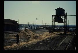
Image depicts what is possibly the CN Railway Station and tracks located in Giscome, B.C.
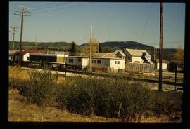
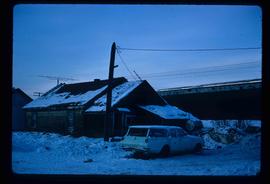
Image depicts a vehicle parked beside a small, wooden house in Upper Fraser, B.C. Map coordinates 54°07'05.7"N 121°56'38.9"W
