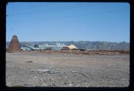
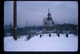
Image depicts a saw mill, possibly Lakeland Mills, with a beehive burner and numerous piles of logs in the foreground, in Prince George, B.C.
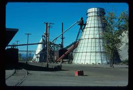
Image depicts a Beehive Burner along the Nechako on River Road. Map coordinates 53°55'34.1"N 122°44'58.0"W
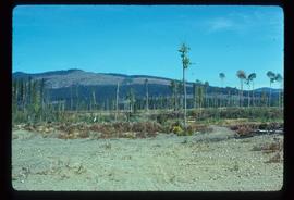
Image depicts a logging area, and a section of mountain in the background which is bare due to clear-cut logging. The slide is also labelled "logging show." It is possibly somewhere near Prince George, B.C.
Image depicts a highway, and a section of mountain in the background which is bare due to clear-cut logging. It is possibly somewhere near Prince George, B.C.
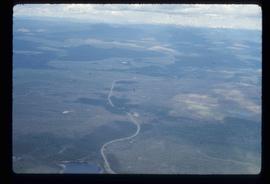
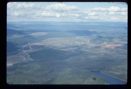
Image depicts an aerial view of the Ahbau area somewhere near Prince George, B.C.
Image depicts an aerial view of areas that have been used for logging around Prince George, B.C.
File contains slides depicting logging and equipment. Most appear to be locations around Prince George.
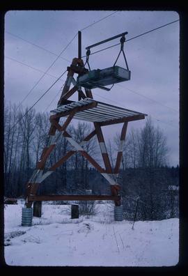
Image depicts the cableway in Willow River, B.C.
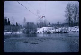
Image depicts the cableway, stretching over a river, in Willow River, B.C.
Image depicts the cableway in Willow River, B.C.
Image depicts a snow gauge at an uncertain location.
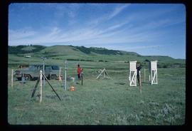
Image depicts two unidentified individuals and a van on a farm at an uncertain location, possibly a place called Cypress Hill, with an atmometer and a sunshine recorder.
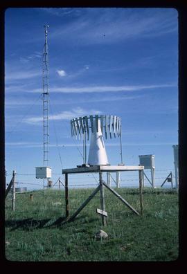
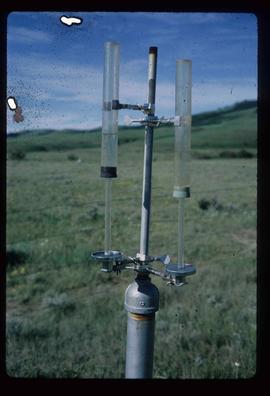
Image depicts an atmometer. According to the slide, it is being used for measuring the rate of water evaporation "from carborundum stone." The location is uncertain.
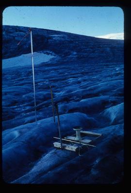
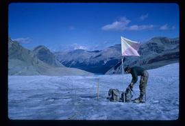
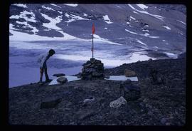
Image depicts objects, including a flag pole, that the slide labels as "survey equipment." The slide also places it as a "Peyto icefall," on the Peyto Galcier in the Banff National Park in Alberta, B.C.
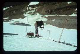
Image depicts an unidentified individual drilling into the ice.
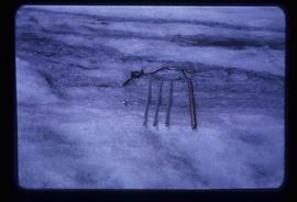
Image depicts a hand-held ice drill.
Image depicts an unidentified individual standing next to a marker and a stake at an uncertain location.
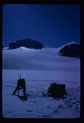
Image depicts an unidentified individual setting up some sort of pole in the snow for a process the slide labels as "snow sounding." The location is uncertain.
Image depicts a marker for aerial photography at an uncertain location. The slide labels it as "Elizabeth Station."
File contains slides depicting various types of instruments at various locations, including Willow River.
File contains slides depicting items and photographs in a museum.
File contains slides depicting geomorhp diagrams.
File contains slides depicting closeups of flowers at unknown locations.
File contains slides depicting maps of Canada's former boundaries.
File contains slides depicting birds and wildlife at unknown locations.
File contains slides depicting views of numerous B.C. Mountains.
File contains slides depicting maps from the B.C. Atlas.
File contains slides depicting various places located across Canada.
File contains slides depicting places in and around Yellowstone and the Snake Plain in the USA.
File contains slides depicting various places in the USA.
File contains slides depicting places in Wyoming, USA.
File contains slides depicting places along Route 80 in the USA.
File contains slides depicting places in Idaho, Wyoming, and Montana, USA.
File contains slides depicting Premier Mine in Hyder, Alaska.
File contains slides depicting the Columbia River in Interior Washington, USA.
File contains slides depicting a caving group in various places in West Virgina, USA.
File contains slides depicting places in California, USA.
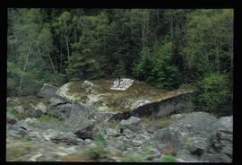
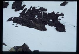
Image depicts a grave somewhere along the White Pass railway.
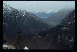
Image depicts a view over a forested, mountainous area and a river towards the vicinity of Skagway, Alaska.
Image depicts an old trestle along the White Pass railway, and the White pass Train on the left of the image.
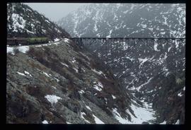
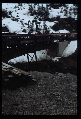
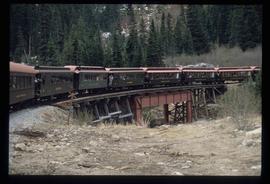
Image depicts the White Pass Train crossing over a railway bridge at an uncertain location in the mountains.
Image depicts a patch of snow-covered ground with a sign that reads "Trail of 98," somewhere along the White Pass railway.
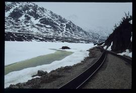
Image depicts two merging railway tracks, and what appears to be a frozen river, somewhere near the summit of a mountain.
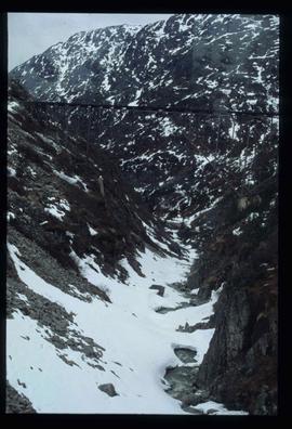
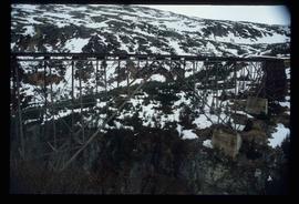
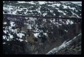
Image depicts an old trestle along the White Pass railway.
Image depicts an old trestle along the White Pass railway.
Image depicts an old trestle along the White Pass railway.
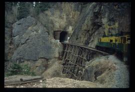
Image depicts the White Pass Train entering a tunnel in the mountain side.
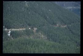
Image depicts another train on the White Pass railway along a forested mountain side.
Image depicts the White Pass Train crossing over a railway bridge at an uncertain location.
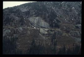
Image depicts a mountain side somewhere along the White Pass railway. The thin ridge along the mountain side is possibly either a highway or part of the railway.
