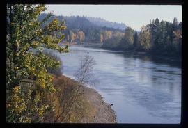
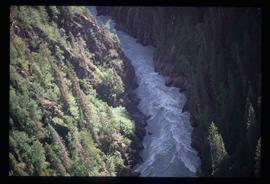
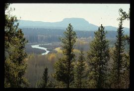
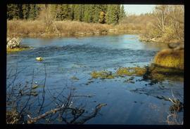
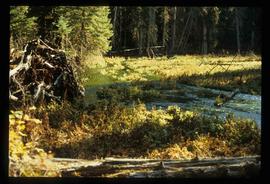
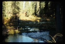
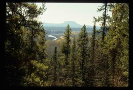
Image depicts the cutbanks on the other side of the Nechako, taken from the nature trail at Island Cache. Map coordinates 53°55'34.6"N 122°45'52.4"W
Image depicts the cutbanks on the other side of the Nechako, taken from the nature trail at Island Cache. Map coordinates 53°55'34.6"N 122°45'52.4"W
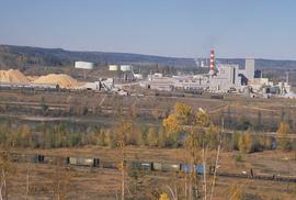
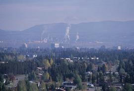
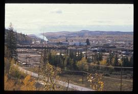
Image depicts the Northwood pulpmill in Prince George B.C.
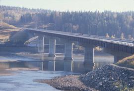
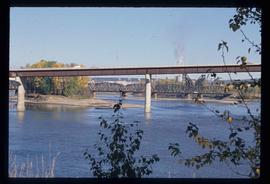
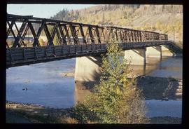
Image depicts the Yellowhead Bridge across the Fraser River. Map coordinates 53°54'45.2"N 122°43'27.9"W
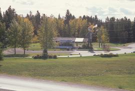
Image depicts Mr. P.G. and the Tourism Information site at the intersection of Highway 16 and 97. Map coordinates 53°53'46.5"N 122°46'00.7"W
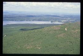
Image depicts a view over Tabor Mountain.
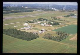
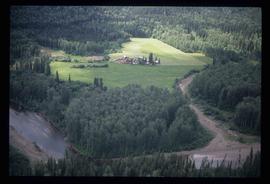
Image depicts a view of an experimental farm, possibly taken from Tabor Mountain.
File contains slides depicting places in Wyoming, USA.
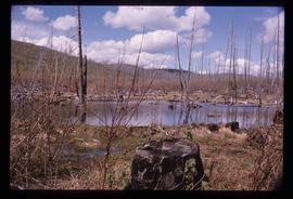
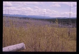
Image depicts a forest of dead trees on the slopes of Tabor Mountain in Prince George, B.C.
Image depicts the Fraser River and the Yellowhead and Grand Trunk Railway Bridges from LC Gunn Park. Map coordinates 53°54'30.7"N 122°43'27.0"W
Image depicts the Northwood pulpmill in Prince George B.C.
Image depicts the Foothills Bridge over the Nechako river on the Foothills Boulevard in Prince George, B.C. Map coordinates 53°56'52.5"N 122°48'59.9"W
Image depicts a river, possibly the Nechako, in Prince George, B.C. Possibly taken from the Foothills Bridge.
File contains slides depicting images of and around Divide Lake.
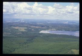
Image depicts an aerial view of a forest somewhere in the area of Divide Lake.
Image depicts an aerial view of a forest somewhere in the area of Divide Lake.
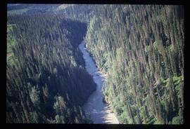
Image depicts a view of the Herrick River in what is possibly McGregor Canyon; the slide is simply labelled "McG Canyon."
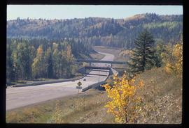
Image depicts a bridge in Prince George, B.C.
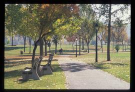
Image depicts the Fort George Par, which was renamed Lheidli T'enneh Memorial Park in 2015. Map coordinates 53°54'30.2"N 122°43'57.4"W
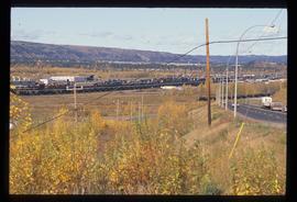
Image depicts a view of Prince George.
Image depicts a view of Tabor Lake.
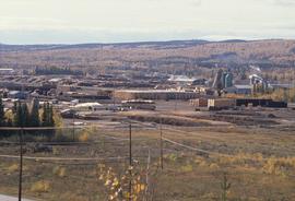
Image depicts the Lakeland Sawmill in Prince George, B.C, identified by the beehive burners; the one with white smoke belonged to Pas Lumber Co. which was bought out by Lakeland in 1987.
Image depicts the Lakeland Sawmill in Prince George, B.C.
File contains slides depicting various places in the USA.
Image depicts a forest of dead trees on the slopes of Tabor Mountain in Prince George, B.C.
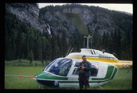
Image depicts a man standing in front of a helicopter; a waterfall is visible on the cliffs in the background. The slide itself is labelled "BC Parks Tour."
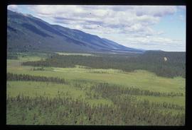
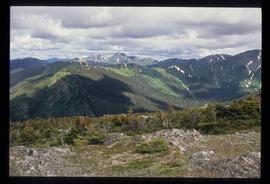
Image depicts a view of James Creek Valley.
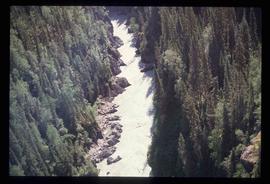
Image depicts a view of the Herrick River in what is possibly McGregor Canyon; the slide is simply labelled "McG Canyon."
Image depicts a view of the Herrick River in what is possibly McGregor Canyon; the slide is simply labelled "McG above Canyon."
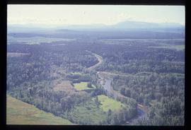
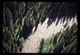
Image depicts an aerial view of what appears to be a small farm, possibly in the McGregor Canyon.
Image depicts the cutbanks on the other side of the Nechako, taken from the nature trail at Island Cache. Map coordinates 53°55'34.6"N 122°45'52.4"W
Image depicts the Northwood pulpmill in Prince George B.C.
Image depicts a view of Blackburn Schools, possibly taken from Tabor Mountain.
Image depicts a bridge in Prince George, B.C.
Image depicts a view of the Herrick River in what is possibly McGregor Canyon; the slide is simply labelled "McG Canyon - above Herrick."
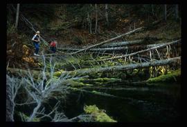
Image depicts numerous fallen trees and two unknown individuals somewhere in the Crooked River Provincial Park, near the Livingston Springs.
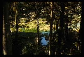
Image depicts the Livingston Springs in the Crooked River Provincial Park.
Image depicts a view of the Crooked River Provincial Park.
Image depicts the Livingston Springs in the Crooked River Provincial Park.
Image depicts the Livingston Springs in the Crooked River Provincial Park.
Image depicts the Livingston Springs in the Crooked River Provincial Park, with an unknown individual present.
Image depicts a view of the Crooked River Provincial Park.
File consists of the "Tweedsmuir Master Plan" prepared by the Province of British Columbia.
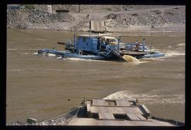
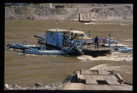
Image depicts a ferry on a river, possibly the Fraser River in the Lillooet area.
Image depicts a ferry on a river, possibly the Fraser River in the Lillooet area.
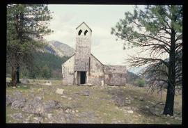
Image depicts an old and abandoned, collapsing church at an uncertain location.
File contains slides depicting places in and around the Kamloops and Lillooet regions.
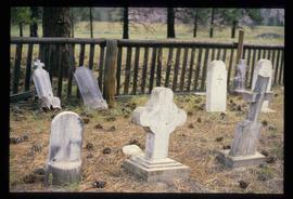
Image depicts numerous grave markers at an uncertain location.
File contains slides depicting the Kootenay Plains and surrounding areas in Alberta.
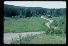
Image depicts an abandoned cabin and shed on Blackwater Road.


