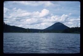
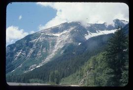
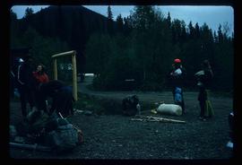
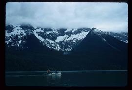
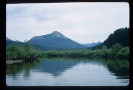
File consists of notes, clippings, and reproductions relating to ferry boat service in and around Prince George. Includes material regarding the Fraser River Fort George ferry; the Isle Pierre ferry; and the Miworth ferry. File also includes photographs depicting a building at Isle Pierre in the 1970s and the ferry crossing at Isle Pierre in 2005.
The item is a photograph depicting a two story abandoned wooden building. Annotation on reverse side of photograph states, "Isle Pierre 1970s."
File contains slides depicting places in and between McBride and the Yellowhead Pass via the Yellowhead Highway.
Image depicts Mt. Robson.
Image depicts an old beehive burner at an uncertain location.
Image depicts an old and abandoned cabin with ivy growing up the side. The location is uncertain.
Image depicts the CN Station in Penny B.C. A woman, possibly Sue Sedgwick, is sitting against the outside wall.
Image depicts the CN Station in Penny B.C.
File consists of the 1970 edition of "Prince George Street Names A-Z" compiled by the Prince George branch of Canadian Federation of University Women.
Subseries consists of materials collected and created by Kent Sedgwick for research on prominent individuals within Prince George and northern/central British Columbia. These individuals include various photographers, John Warren Meyer, Fannie Kinney, Father Adrien Morice, Henry Spencer Palmer, and Bridget Moran. The files also contain various other obituaries and materials regarding prominent individuals in Prince George.
Subseries consists of material collected and created by Kent Sedgwick for research regarding parks and outdoor recreation in Prince George. Material on parks includes Fort George Park (renamed to Lheidli T’enneh Memorial Park in 2015); Cottonwood Island Park; Connaught Hill; Moore's Meadow; L.C. Gunn Park; the Nechako Cutbanks; Paddlewheel Park; Monkman Provincial Park; Fraser Canyon Park; and Carp Lake. Also includes information on the creation of plaques and monuments, including the Alexander Mackenzie monument; the “Arrival of Steel” CN railway plaque; heritage interpretative signs for the Grand Trunk Pacific Railway; the Millar addition; and flooding and rivers. The files consists of various pamphlets and correspondence regarding the development of parks and the creation of interpretive materials.
Image depicts the slopes of Tabor Mountain in Prince George, B.C.
File contains slides depicting places in the Lillooet area.
Image depicts the Fraser River in the Lillooet, B.C.
Image depicts the canoe group portaging to Indianpoint Lake.
Image depicts Indianpoint Lake.
Image depicts the foot of Indianpoint Lake.
Image depicts the sunset over Isaac Lake from the Betty Wendle campsite.
Image depicts a camp at the foot of Isaac Lake.
Image depicts the Cariboo Falls.
Image depicts the lower end of the river channel leading to the Spectacle Lakes.
Image depicts a few unknown individuals canoeing in a slough area while on approach to Bowron Lake.
Image depicts a slough area while on approach to Bowron Lake.
Image depicts the river channel leading to the Spectacle Lakes.
Image depicts Spectacle Lake.
Image depicts two unknown individuals canoeing on the lower part of Spectacle Lake.
Image depicts the Bulkley River near Moricetown, B.C.
Image depicts a mountain range located somewhere along the Skeena River.
Image depicts a road leading to Prince Rupert, B.C.
Image depicts the Skeena River.
File consists of notes and reproductions relating to a keekwilee house (kekuli or pithouse) at the College of New Calendona. Includes: "Keekwilee - house A Centennial Project for the College of New Caledonia" typescript document by Kent Sedgwick (Jan. 1971) and "Keekwilee House College of New Caledonia memo" typescript document from Gunar Capan to Kent Sedgwick (28 Jan. 1972).
Item is an original 1971 map depicting Vancouver Island, British Columbia, published by the Department of Lands, Forests and Water Resources of British Columbia.
Image depicts the Fraser River somewhere in the Lillooet area.
File contains slides depicting the Bowron Lake Provincial Park.
Image depicts a group of people preparing to portage their canoe equipment in Bowron Lake Provincial Park.
Image depicts the canoe group around a campfire at the head of Indianpoint Lake.
Image depicts a pair of Rainbow trout from Indianpoint Lake.
Image depicts an unknown individual in a canoe on Indianpoint Lake.
Image depicts Indianpoint Lake.
Image depicts Isaac Lake from the Betty Wendle campsite.
Image depicts the Isaac Falls.
Image depicts four individuals canoeing on Lanezi Lake.
Image depicts the snow still remaining from an avalanche at Lanezi Lake. Two people are also seen canoeing on the lake.
Image depicts a cirque in the mountains surrounding Lanezi Lake. Two individuals can also be seen canoeing on the lake.
Image depicts a mountain in the distance, and the river channel leading to the Spectacle Lakes.
File contains slides depicting places along the Skeena River on the way to Prince Rupert, B.C.
Image depicts the Skeena River alongside Highway 16 en route to Prince Rupert, B.C.
Image depicts a mountain located somewhere along the Skeena River, and a road alongside it.
Image depicts the Bulkley River near Moricetown, B.C.
Image depicts the historical village of 'Ksan near Hazelton, B.C.