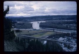
Image depicts a view of the Fraser-Nechako confluence from the Prince George cutbanks.
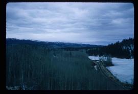
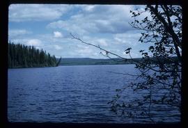
Image depicts Burns Lake, B.C.
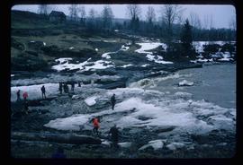
Image depicts numerous unknown individuals standing by the Bulkley River near Moricetown, B.C.
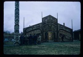
Image depicts a group of people in the historical village of 'Ksan near Hazelton, B.C.
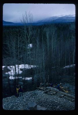
Image depicts a group of people at a mine somewhere near Hazelton, B.C.
Item is an original 1972 map depicting the Nass River in British Columbia, published by the Department of Lands, Forests and Waster Resources of British Columbia.
Item is an original 1972 map depicting Punchaw Lake in British Columbia, published by the Department of Energy, Mines & Resources in Ottawa. The map includes pen markings.
File contains slides depicting various types of instruments at various locations, including Willow River.
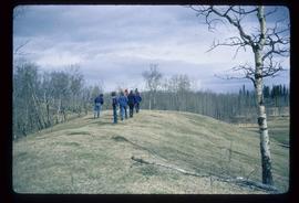
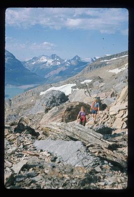
Image depicts a group of unidentified individuals walking along a crevasse filled ridge somewhere in the vicinity of Smithers, B.C. The slide also labels it as a "drift ridge."
Map depicts the city of Prince George Boundary expansions since 1913.
Map depicts the city of Prince George boundary expansions from 1913 to 1974.
File consists of a duotang containing typescript document titled "Pioneer interviews" prepared by the Prince George University Women's Club that lists oral history holdings at the Prince George Public Library.
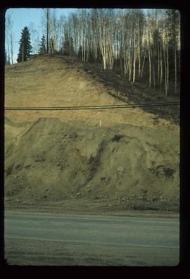
Image depicts a small slope on Carney Hill in Prince George, B.C.
Image depicts miocene gravels on Carney Hill in Prince George, B.C.
File contains slides depicting numerous individuals hiking up Mount Robson.
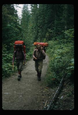
Image depicts two men on the hiking trail near Mt. Robson.
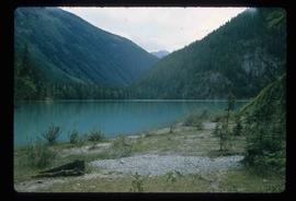
Image depicts a lake somewhere near Mt. Robson; it is possibly Kinney Lake.
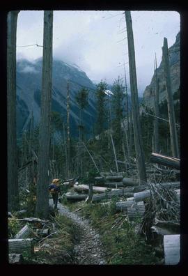
Image depicts a large number of felled trees, and an unknown individual standing on the path.
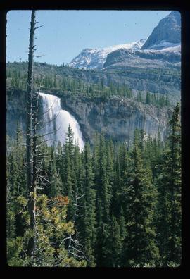
Image depicts a waterfall on a mountain side in Mt. Robson Provincial Park.
Image depicts the Mist Glacier on the slope of Mt. Robson.
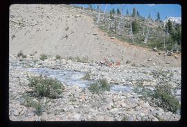
Image depicts a group of people on the rocky bank of a river somewhere near Mt. Robson.
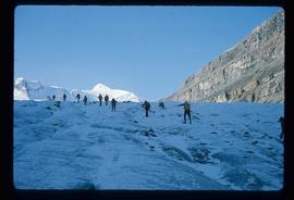
Image depicts a group of people hiking up a glacier, possibly the Robson Glacier.
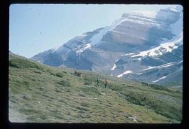
Image depicts a group of people standing on a hill, with what is possibly Mt. Robson in the background.
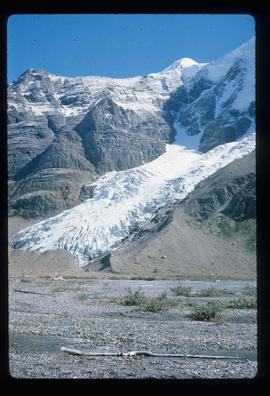
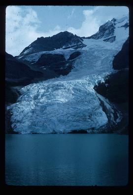
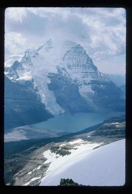
Image depicts the Berg Glacier at Berg Lake in the Mt. Robson Provincial Park.
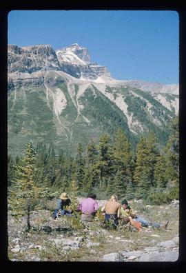
Image depicts a group of unknown individuals with a mountain in the background.
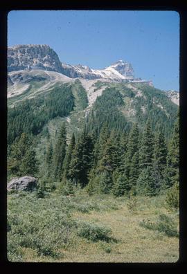
Image depicts a mountain peak, possibly Mt. Robson.
Image depicts a group of hikers somewhere in the Mt. Robson Provincial Park.
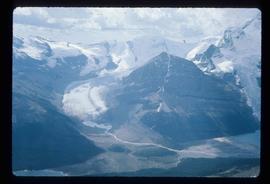
Image depicts a view of a small valley in Mt. Robson Provincial Park.
Image depicts a pair of hikers and a view of Mt. Robson Provincial Park.
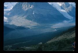
Image depicts a view of the Berg Lake and Glacier on the slope of Mt. Robson.
Image depicts what appears to be a receding glacier on the slopes of Mt. Robson.
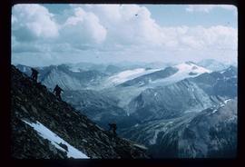
Image depicts a view of Mt. Robson Provincial Park, with a group of hikers hiking up a mountain side in the foreground.
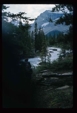
Image depicts what is possibly the Robson River.
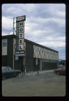
Image depicts the McBride Hotel near the Mt. Robson Provincial Park.
Image depicts a campsite on the shore of Carp Lake.
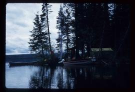
Image depicts two boats on the shore of Carp Lake.
Image depicts a low rain cloud over Carp Lake.
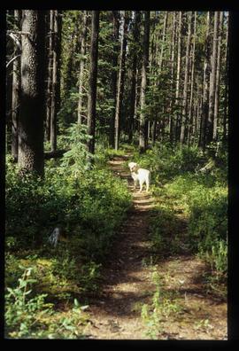
Image depicts a dog standing on a path through the woods somewhere in Carp Lake Provincial Park.
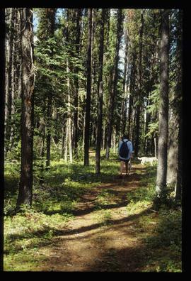
Image depicts two dogs and a person walking on a path through the woods somewhere in Carp Lake Provincial Park.
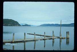
Image depicts a dock on a lake in Carp Lake Provincial Park, possibly War Lake.
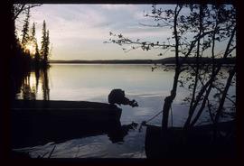
Image depicts Carp Lake.
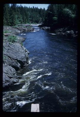
Image depicts Blackwater River, B.C.
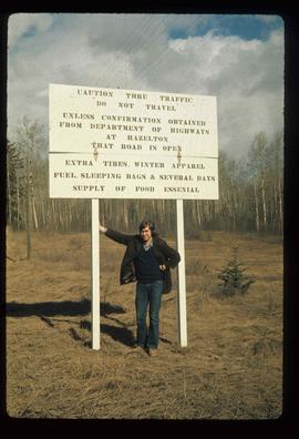
Image depicts an unknown individual leaning against a sign at the Stewart Access Road which warns travellers to pack several days of food. Located in Hazelton, B.C.
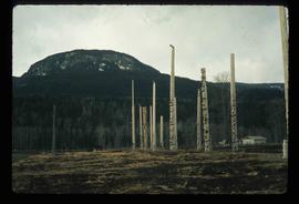
Image depicts numerous totem poles in Kispiox, B.C.
Image depicts Babine Lake.
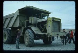
Image depicts an 80 tonne truck at a mine site somewhere in Granisle, B.C.
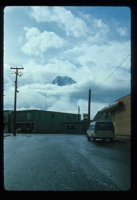
Image depicts the peak of the Rocher de Boule mountain from Hazelton, B.C.
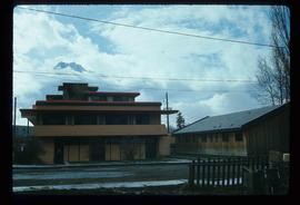
Image depicts the Inlander Hotel in Hazelton, B.C. The peak of the Rocher de Boule mountain is visible in the background.
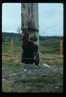
Image depicts an old, partially burnt totem pole in Kispiox, B.C.
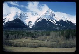
Image depicts a mountain in Smithers, B.C.
