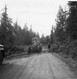
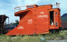
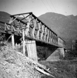
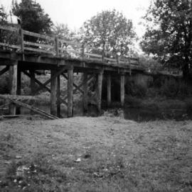
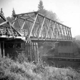
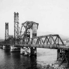
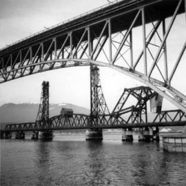
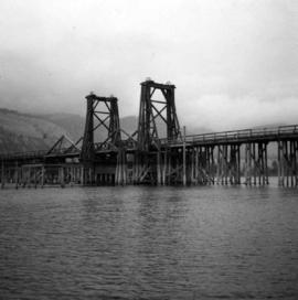
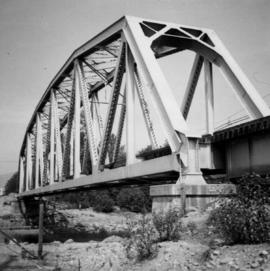
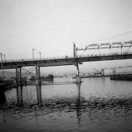
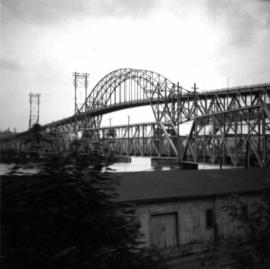
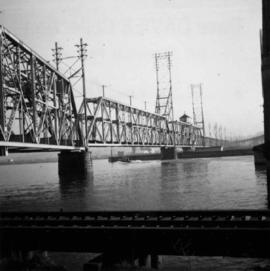
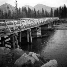
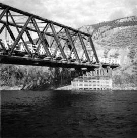
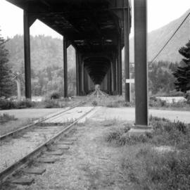
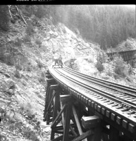
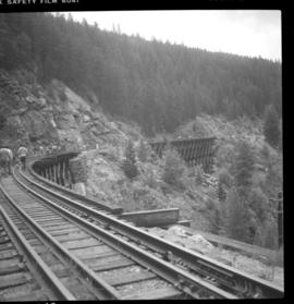
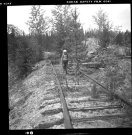
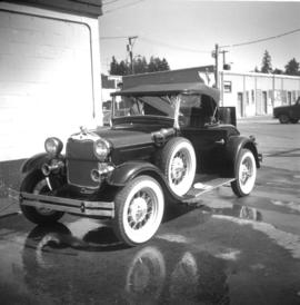
Photograph depicts a restored 1929 Ford.
Photograph depicts a grader that was working on removing a sharp bend and widening Galena Bay Road.
Photograph depicts two cars with their front ends welded back-to-back.
Photograph depicts a small water proofed car, fitted with mops.
Photograph depicts a fire truck being used to deal with a bedroom fire in Vancouver.
File consists of documentary photographs taken by David Davies of monoplanes in British Columbia.
Photograph depicts a monoplane in Tofino Harbour, near Longbeach, on Vancouver Island.
Photograph depicts the repairing of a float plane. The tug was used as a ladder.
Photograph depicts a Gruman Goose at the Seal Cove Seaplane Base. Several of these planes were in use at this location. At least 6 in total.
Photograph depicts a Goodyear airship travelling over Spanish Banks, Vancouver. It took part in the Abbotsford Air Show of 1971.
Photograph depicts a CN plow built in June 1939 and rated "Heavy Duty." At the time, CN had 63 snow plows and this was one of the 12th to 18th youngest. The latest was built in 1959.
Photograph depicts a flat car wheel set carrier not related to Kamloops Auxiliary Trains.
Photograph depicts a CN swing bridge (built in 1927) over the South Thompson River. It was opened for tourist sternwheeler "Wandasue."
Photograph depicts the CNR depot in downtown Kamloops. Taken after it its refurbishment and landscaping.
Photograph taken on the CNR Okanagan Branch, Mile 21, east of a tunnel near Monte Creek. Dated 1938. Captured at the base of a deep embankment that may have resulted from a washout.
Photograph taken at the CN Kamloops Junction on a storage line.
Hand drawn draft map depicts historical railway routes in British Columbia. Includes dates and annotated information about rail lines.
Map depicts railways in British Columbia, with insets for the Lower Mainland and the Kootenays.
Map depicts the Canadian National Railway system, including trackage for the Central Vermont Railway, the Detroit & Toledo Shore Line Railroad, the Grand Trunk Western Railroad, the Duluth Winnipeg & Pacific Railway, and the Northern Alberta Railway.
Real estate map depicts the areas around Coquitlam, Port Coquitlam, and Port Moody, including rail trackage.
Map depicts the growth of Vancouver's street car system as from the laying of the first tracks in 1889 to the last section laid (Clark Dr., Hastings to Venables).
Map depicts rail lines in the BC lower mainland, including BC Hydro Railway, Burlington Northern Railway, the Canadian Pacific Railway, the Canadian National Railway, and the Pacific Great Eastern Railway.
Map depicts passenger routes on the Canadian Pacific Railway and its connecting lines in 1925.
Tourist map of Prince George depicts city area, including railway trackage.
Map depicts the routes of the Pacific Great Eastern Railway, showing stations, railway connection, and the PGE Microwave Communication System.
Map depicts the city of Kelowna and area. Annotated by Davies to emphasize rail lines.
Map depicts the area around Wilkinson Creek near Carmi, BC. Annotated by Davies to show the Kettle Valley Railway.
Plan depicts the location of buildings occupied by the Northern Construction Company on the old Kamloops Station ground.
Plan depicts the proposed location and layout for the Canadian Northern Pacific terminal at Kamloops on the Kamloops-Lumby branch.
Photograph depicts the B.C. Electric Railway swing bridge at False Creek on the west side looking north.
Photograph depicts the fixed span of the B.C. Electric Railway swing bridge at False Creek looking south.
Photograph depicts a truss bridge over the Salmon River near Kelsey Bay, North Vancouver Island.
Photograph depicts a wooden bridge crossing a stream on the north side of Vedder Mountain near Belrose.
Photograph depicts a wooden bridge over the Salmon River near Sayward, near Kelsey Bay, on North Vancouver Island.
Photograph depicts the Second Narrows railway bridge in Vancouver, BC
Photograph depicts the Fraser St. road bridge over the north section of the north arm of the Fraser River (ie. between Vancouver and Mitchell Island). Shot is looking northeast.
Photograph depicts an old wooden lifting span bridge (now rigid) over the east Thompson River at Pritchard, 25 miles east of Kamloops. View is looking northeast. The bridge was built for sternwheeler traffic.
Photograph depicts a Pacific Great Eastern rail bridge to crossing the Capilano River in west Vancouver. Photo is taken from the east shore looking west.
Photograph depicts the Cambie St. Bridge in Vancouver, BC, looking east and showing the north fixed span of the bridge.
Photograph depicts the rail connections below the north bank of the Patullo Bridge in New Westminster. The track in the foreground belongs to C.N. and the flyover foreground rail bridge belongs to the B.C. Electric Railway. The flyover background rail bridge is shared by the Great Northern Rail and C.N. Rail.
Photograph depicts the railway bridge at New Westminster, looking towards the south bank. The bridge is used by C.N., BCHydro, and the Great Northern Railway.
Photograph depicts the road bridge over Toby Creek, just north of Invermere or 75 miles north of Cranbrook, looking at upstream piers.
Photograph depicts the bridge over the Nicola River at Spences Bridge in the north Fraser Canyon, looking downstream.
Photograph depicts a double-use bridge across the Fraser River at Hope, BCon the north side of the village. The upper deck carries road traffic and the lower deck the C.P.R. rail line leading to the Kettle Valley Line. View looking north.
Photograph depicts the Kettle Valley Railway in Myra Canyon. The view is looking south at about mile 85.3.
Photograph depicts the CPR Kettle Valley Railway in Myra Canyon.
File consists of documentary photographs taken by David Davies of the CPR Kettle Valley Railway at McCulloch depot in British Columbia.
Photograph depicts the McCulloch CPR depot located at mile 76.7 on the Carmi Subdivision, which is about 27 miles northeast of Penticton. The rear building is the passenger depot, which was painted blue inside. The view is looking north.
Photograph depicts a gravel pit 1.5 miles north of the McCulloch depot or at approximately mile 78.0, on the Carmi Subdivision. It has not been in use since at least the late 1950s. The rails here are worn and dated 1910 and 1920s. The view is looking north.