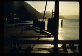
Image depicts a dock in Prince Rupert, B.C.
Image depicts an unidentified individual diving into a pool of water at an uncertain location.
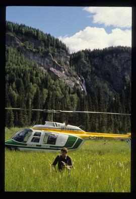
Image depicts the "Divides Lake Waterfall" as well as a man in front of a helicopter in the foreground.
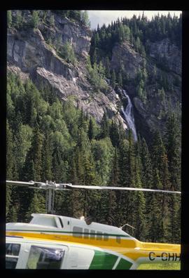
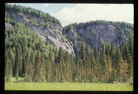
Image depicts the "Divides Lake Waterfall."
Image depicts the "Divides Lake Waterfall."
File contains slides depicting images of and around Divide Lake.
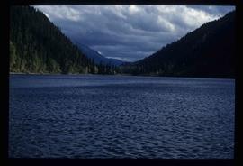
Image depicts Divide Lake.
File consists of a report entitled "Diver Observations of Juvenile Chinook Salmon Overwintering in the Nicola River, British Columbia" prepared for DFO by B. Emmett and H.I. McElderry of Archipelago Marine Research.
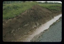
Image depicts a ditch of water at an uncertain location.
Image depicts a section of disturbed ground at an unknown location.
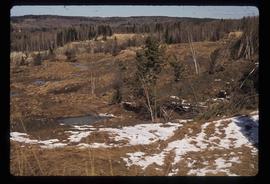
Image depicts an area of disturbed ground, most likely due to a landslide, at an unknown location.
Image depicts a large section of disturbed ground at an unknown location.
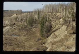
Image depicts an area of disturbed ground, most likely due to a landslide, at an unknown location.
File consists of a photocopy of a draft of a Canadian Manuscript Report of Fisheries and Aquatic Sciences by Brown and Levings entitled "Distribution and Stomach Contents of Potential Fish Predators of Juvenile Chinook Salmon (Oncorhynchus tshawytscha) in the Nechako and Stuart Rivers, B.C.".
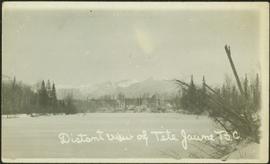
Photograph depicts settlement across frozen lake. Trees cross midground, mountains stand in background. Handwritten annotation on verso of photograph reads: "Distant view of Tete Jaune B.C.", on recto of photograph: "I marked about where you loaded your boat the telephone pole is down the road toward 53. Tete Jaune Mile 52."
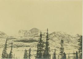
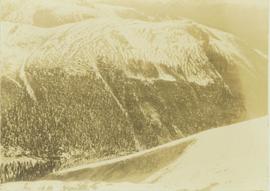
Photograph depicts a distant snow-covered mountain range with evergreen trees in the foreground.
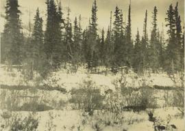
Photograph depicts a snowy plateau with a distant snow-covered mountain range in the background and coniferous trees in the foreground.
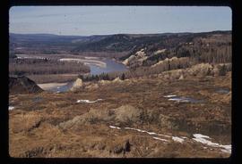
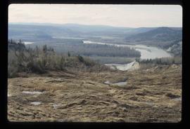
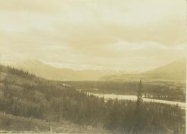
Photograph depicts a distant river running through a forested mountainous landscape.
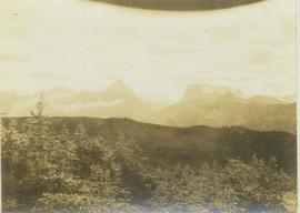
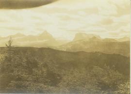
Photograph depicts a distant mountain range visible over a forested slope. The location of photo is between Wapiti Lake and Red Deer Valley.
Photograph depicts a tree-covered valley with a snow-covered mountain range in the background. The location of photo is between Wapiti Lake and Red Deer Valley.
Photograph depicts a distance view of tree covered mountain slopes in winter.
Photograph features Terrace Gardens.
File contains slides depicting areas around the Discovery Passage.
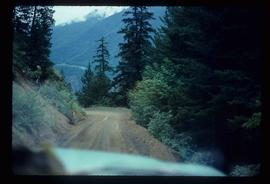
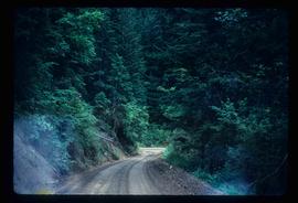
Image depicts a dirt road leading through a forest.
Image depicts a dirt road leading through a forest with what appears to be an area for turning around at the end.
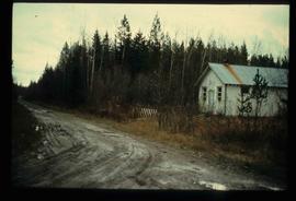
Image depicts a dirt road and a possibly abandoned building at an uncertain location.
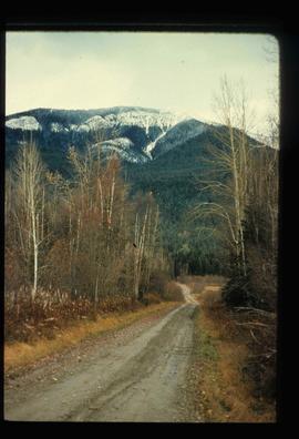
Image depicts a dirt road leading through numerous trees toward a mountain. The location is uncertain, likely on the way to Longworth, B.C.
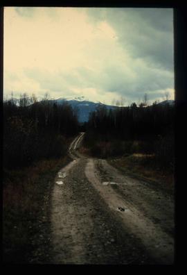
Image depicts a dirt road leading through numerous trees toward a mountain. The location is uncertain, likely on the way to Longworth, B.C.
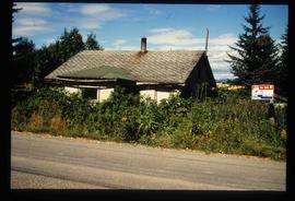
Image depicts an old house for sale surrounded by overgrown bushes in Upper Fraser, B.C. Map coordinates 54°07'15.0"N 121°57'02.0"W
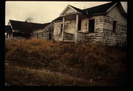
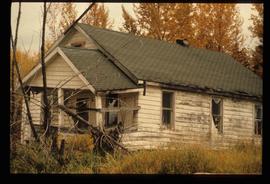
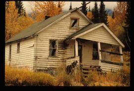
Image depicts two dilapidated houses in Sinclair Mills, B.C.
Image depicts a dilapidated house in Sinclair Mills, B.C.
Image depicts a dilapidated house in Sinclair Mills, B.C.
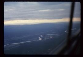
Image depicts an aerial view of Diamond Island, near Quesnel, B.C.
File predominately consists of submissions and briefs for the DFO public meetings in Vanderhoof and Smithers concerning the Kemano Completion Project. Includes related correspondence, news releases, and Shirvell's notes as a panel member during the public meetings.
File predominately consists of submissions and briefs for the DFO public meetings in Vancouver and Prince Rupert concerning the Kemano Completion Project. Includes related correspondence, copies of newspaper clippings, an advertisement for a Warner fishlift, and Shirvell's notes as a panel member during the public meetings.
File consists of correspondence and other records relating to the DFO public meetings, the DFO position on the Kemano Completion Project, and the developing Nechako River court action. Includes internal DFO memoranda; a copy of a 1984 report by Slaney et al. entitled "Habitat Capability Analysis of the Nechako River for Rainbow Trout and Char and the Effects of Various Flow Regimes"; correspondence regarding the Kemano Task Force and its report; a document by Boyd entitled "Resource Activities Required for the Nechako Court Case and Possible Joint Technical Meetings"; Shirvell's "Technical Statement for Nechako River Court Action - DFO vs. Alcan: Habitat Modelling"; and a newsletter from the Nechako Neyenkut Society.
File consists of photocopied Department of Fisheries and Oceans documents that released for the British Columbia Utilities Commission Public Review under the Access to Information Act. Includes correspondence, memoranda, and draft reports.
File consists of a conference paper by Weller titled "Devolution, Regionalism and Division of the Northwest Territories." This file was originally numbered to correspond with conference paper number 65 listed in Weller's CV.
File consists of a photocopy of a North American Journal of Fisheries Management (Vol. 12) article by Richards et al. entitled "Development of Off-Channel Habitats for Use by Juvenile Chinook Salmon".
File consists of various versions of the paper by Rublee et al entitled "Development of Fish Habitat in Large Streams as a Mitigative Tool Below Hydro Diversions", which was presented at the 1994 American Power Conference.
File consists of records relating to the development of the Department of Fisheries and Oceans' position on the Alcan Kemano Completion Project. Includes internal memoranda, Mundie's comments on the DFO position paper, and an agenda and notes for the Kemano Completion Steering Committee.
File consists of a draft copy of an Aluminum Company of Canada Kemano Completion Hydroelectric Development Technical Memorandum by Envirocon entitled "Determination of Useable Chinook Rearing Habitat in the Nechako River".
Photograph depicts two pick hammers laid in asbestos fibre. Annotations on note glued to recto of photograph: "ASBESTOS"; "Detail view of asbestos talus. Early test pit near top of showing. Western slope." Areas of image have been labeled "A" and "B". Photo caption under printed copy of image in 1952 Annual Report: "A - Asbestos fibre partially opened by frost action. B - Serpentine rock originally containing the asbestos fibre."
File consists of a DFO memorandum regarding the deposition evidence of C. Stalknaker and R. Milhous for the Nechako court action. Attached to the memorandum are photocopies of the two deposition statements.
File consists of a published copy of "Department of Fisheries and Oceans Policy for the Management of Fish Habitat". Also includes a summary document on the policy.
File consists of outgoing correspondence from BCUC to the Department of Fisheries and Oceans (DFO) as well as incoming correspondence to BCUC from DFO. Prominent correspondents include J.H. Mundie, Gordon Hartman, Cole Shirvell, and Don Alderdice. Also includes news releases from DFO sent to BCUC.
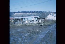
Image depicts the rubble of a demolished house at Island Cache, with several other buildings in the background.
File consists of a conference paper by Weller titled "Democracy, the Canadian Security Intelligence Service and the Future." This file was originally numbered to correspond with conference paper number 44 listed in Weller's CV.
Annotation on slide: "Summit defective cull, Marked-to-cut swept log, Summit Lake selection trial".
Photograph depicts a deer standing behind the brush in a snow-covered landscape with a forest visible in the background.
