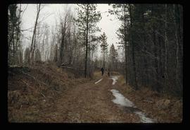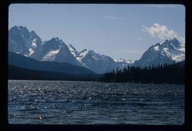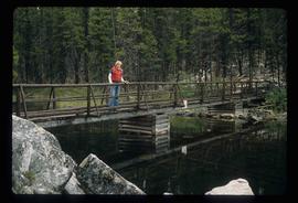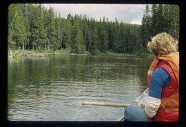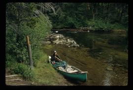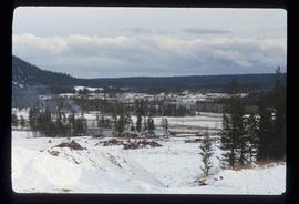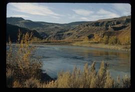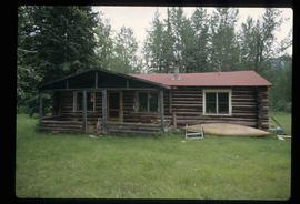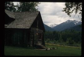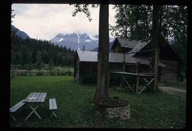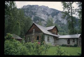
2012.13.1.41.01
·
Pièce
·
1980
Fait partie de J. Kent Sedgwick fonds
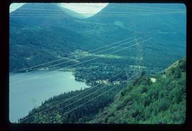
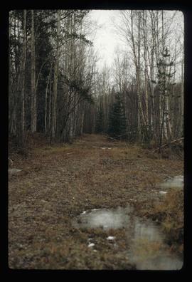
Image depicts the grade for the British Columbia Railway, which was formerly known as the Pacific Great Eastern until 1972. It is located somewhere near the Woodpecker Ranch in Woodpecker, B.C.