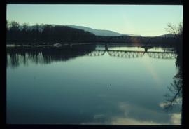
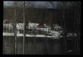
Image depicts the Hansard railroad bridge taken from the new Hansard vehicle bridge. Map coordinates 54°04'58.1"N 121°50'58.0"W
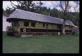
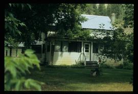
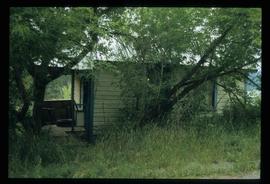
Image depicts a house made from a rail car in an uncertain location. It could be in Hixon, Red Rock, or Woodpecker, B.C.
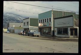
Image depicts a street in McBride, B.C. One of the store signs reads "Allied Hardware."
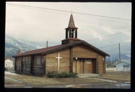
Image depicts the All Saints Anglican Church in McBride, B.C. The slide labels it as having "moved to PG."
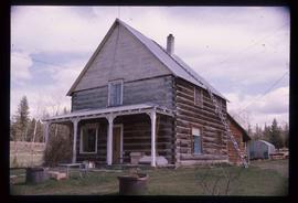
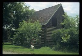
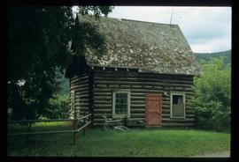
Image depicts a log house at an uncertain location.
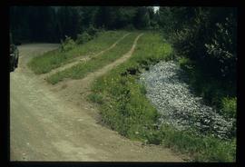
Image depicts the Dunlevy Creek area somewhere near Dawson Creek, B.C. The slide is simply labelled "Dunlevy irrigation" for uncertain reasons.
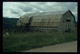
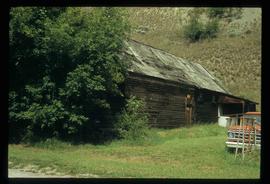
Image depicts an old barn located somewhere near Dunlevy Creek in the Dawson Creek area.
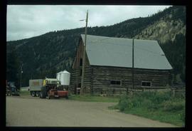
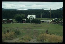
Image depicts an old barn located at a dairy farm somewhere near Dunlevy Creek in the Dawson Creek area.
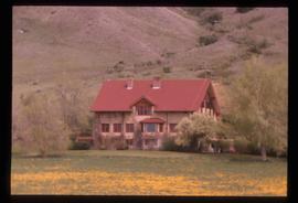
Image depicts the Alkali Lake Ranch in Akali Lake, B.C.
Image depicts a shed in an unknown location.
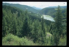
Image depicts rail road tracks through a forest, as well as a river; located in Soda Creek, B.C.
Image depicts the old community hall in Soda Creek, B.C.
Image depicts a house in Soda Creek, B.C.
Image depicts the old BX Sternwheeler office building in Soda Creek, B.C.
Image depicts an old building located somewhere are the Pickard farm north of Soda Creek, B.C.
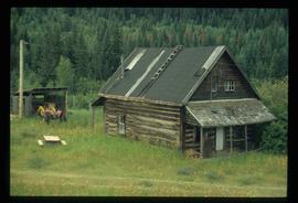
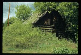
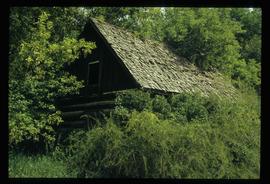
Image depicts an old log cabin at an uncertain location.
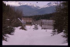
Image depicts several old log cabins, possibly at McLeod Lake.
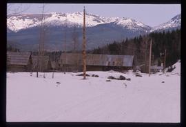
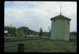
Image depicts a train track and several buildings in an unknown location.
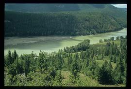
Image depicts a forest and river in Soda Creek, B.C.
Image depicts the old jail house in Soda Creek, B.C.
Image depicts an old building located somewhere are the Pickard farm north of Soda Creek, B.C.
Image depicts the Harrison House in Kersley, B.C.
Image depicts two rows of houses in an unknown location.
Image depicts the Dunlevy Creek area somewhere near Dawson Creek, B.C. The slide is simply labelled "Dunlevy irrigation" for uncertain reasons.
Image depicts the old jail house in Soda Creek, B.C.
File consists of notes, clippings, and reproductions relating to the Cariboo and Northwest Digest publication. Also includes a CD-R that contains Sedgwick's index spreadsheet and accompanying documentation about the publication.
